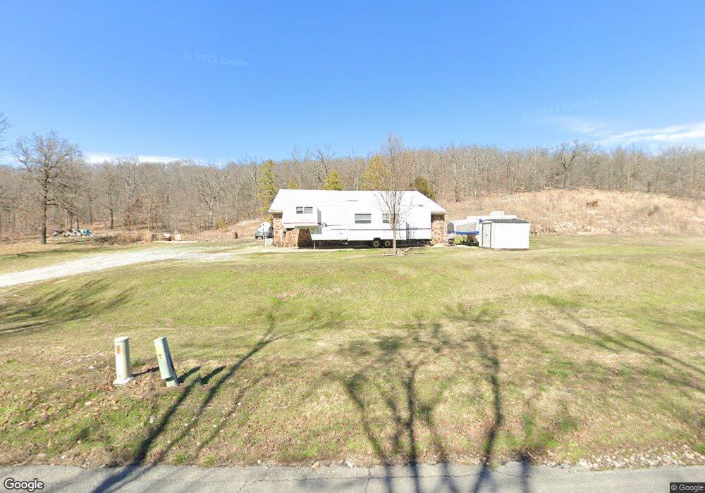
6085 E 590 Rd Locust Grove, OK 74352
Estimated Value: $110,000 - $321,000
3
Beds
2
Baths
1,824
Sq Ft
$107/Sq Ft
Est. Value
About This Home
This home is located at 6085 E 590 Rd, Locust Grove, OK 74352 and is currently estimated at $195,949, approximately $107 per square foot. 6085 E 590 Rd is a home located in Mayes County with nearby schools including Locust Grove Early Lrning Center, Locust Grove Upper Elementary School, and Locust Grove Middle School.
Ownership History
Date
Name
Owned For
Owner Type
Purchase Details
Closed on
Apr 1, 2008
Sold by
Cate Gregory Paul and Cate Michelle
Bought by
Bias Elizabeth
Current Estimated Value
Purchase Details
Closed on
Dec 18, 2001
Sold by
Ramjam Inc
Bought by
Cate Gregory and Cate Michelle
Purchase Details
Closed on
Aug 23, 1999
Sold by
Mozingo Bob and Mozingo Jo
Bought by
Ramjam, Inc
Purchase Details
Closed on
Apr 13, 1999
Sold by
Potter Daniel Etal
Bought by
Mozingo Bob and Mozingo Jo
Create a Home Valuation Report for This Property
The Home Valuation Report is an in-depth analysis detailing your home's value as well as a comparison with similar homes in the area
Purchase History
| Date | Buyer | Sale Price | Title Company |
|---|---|---|---|
| Bias Elizabeth | $50,000 | None Available | |
| Cate Gregory | $34,500 | -- | |
| Ramjam, Inc | -- | -- | |
| Mozingo Bob | $22,500 | -- |
Source: Public Records
Tax History
| Year | Tax Paid | Tax Assessment Tax Assessment Total Assessment is a certain percentage of the fair market value that is determined by local assessors to be the total taxable value of land and additions on the property. | Land | Improvement |
|---|---|---|---|---|
| 2025 | $728 | $8,845 | $2,937 | $5,908 |
| 2023 | $706 | $8,337 | $2,750 | $5,587 |
| 2022 | $640 | $8,094 | $2,672 | $5,422 |
| 2021 | $632 | $7,858 | $2,588 | $5,270 |
| 2020 | $620 | $7,630 | $2,501 | $5,129 |
| 2019 | $600 | $7,407 | $2,345 | $5,062 |
| 2018 | $612 | $7,407 | $2,345 | $5,062 |
| 2017 | $612 | $7,407 | $2,345 | $5,062 |
| 2016 | $598 | $7,407 | $2,345 | $5,062 |
| 2015 | $614 | $7,377 | $2,315 | $5,062 |
| 2014 | $593 | $7,162 | $2,100 | $5,062 |
Source: Public Records
Map
Nearby Homes
- 0 County Rd Unit 2610945
- 0 County Rd Unit 2610946
- 855 SE 683 Rd
- 8670 S 4468 Ln
- 6562 E 570 Rd
- 0 E 610 Rd Unit 2542638
- 7275 E 570
- 715 S Cherokee St
- 608 S Cherokee St
- 604 Radcliff Ave
- 0 Hwy 82 S Unit 2549526
- 9838 S 4392
- 6562 E 563 Rd
- 007275 E 570 Rd
- 6594 E 563 Rd
- 108 Maple
- 8604 S County Road 4468
- 0 S 4409 Rd
- TBD SE 575
- TRACT 2 SE 575
- 5965 E 590 Rd
- 5963 E 590 Rd
- 10937 S 441 Rd
- 9797 SE 560 Dr
- 9955 SE 560 Dr
- 5753 E 590 Rd
- 9953 S Highway 82
- 9321 S Highway 82
- 9321 S Highway 82
- 9321 S Highway 82
- 532 SE 583 Dr
- 9394 S Highway 82
- 9675 E 580
- 9226 State Highway 82
- 9226 S Highway 82
- 9183 S Highway 82
- 9149 S Highway 82
- 372 SE 583 Dr
- 372 SE 583 Dr
- 230 SE 583 Dr
Your Personal Tour Guide
Ask me questions while you tour the home.