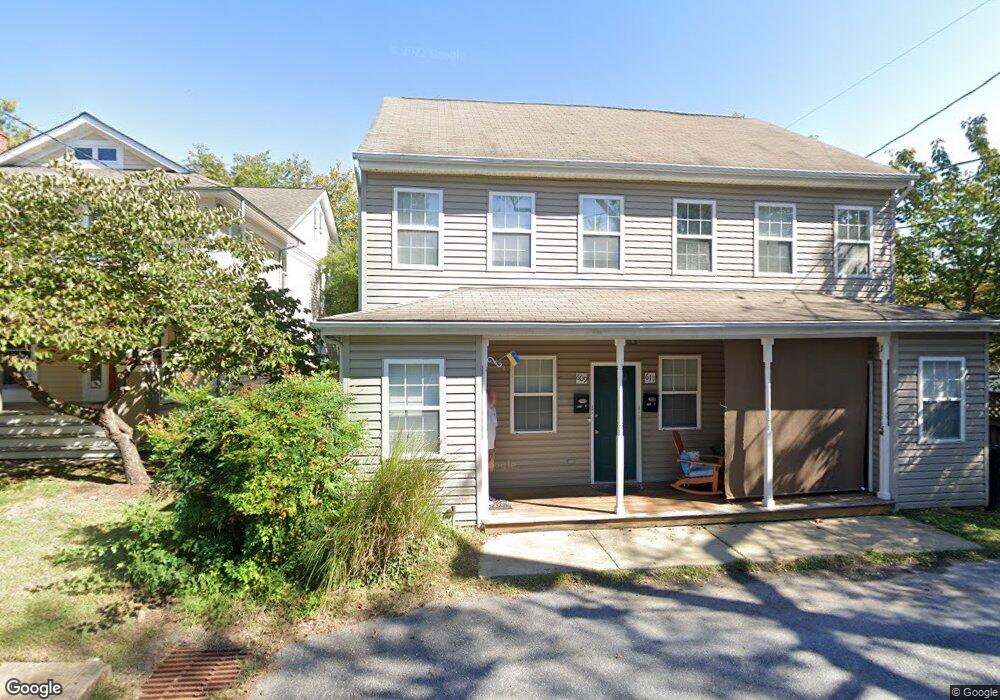
609 Burnside St Annapolis, MD 21403
Eastport NeighborhoodEstimated Value: $951,259 - $1,462,000
About This Home
This home is located at 609 Burnside St, Annapolis, MD 21403 and is currently estimated at $1,159,565, approximately $301 per square foot. 609 Burnside St is a home located in Anne Arundel County with nearby schools including Eastport Elementary School, Annapolis Middle School, and Annapolis High School.
Ownership History
We collect this data history from publicly available records. To have your information removed, we recommend requesting removal directly through your county’s website.
Purchase Details
Home Values in the Area
Average Home Value in this Area
Purchase History
We collect this data history from publicly available records. To have your information removed, we recommend requesting removal directly through your county’s website.
| Date | Buyer | Sale Price | Title Company |
|---|---|---|---|
| -- | True Title |
Tax History
We collect this data history from publicly available records. To have your information removed, we recommend requesting removal directly through your county’s website.
| Year | Tax Paid | Tax Assessment Tax Assessment Total Assessment is a certain percentage of the fair market value that is determined by local assessors to be the total taxable value of land and additions on the property. | Land | Improvement |
|---|---|---|---|---|
| 2025 | $10,177 | $781,600 | ||
| 2024 | $10,177 | $708,200 | $0 | $0 |
| 2023 | $9,116 | $634,800 | $442,100 | $192,700 |
| 2022 | $8,577 | $608,700 | $0 | $0 |
| 2021 | $7,847 | $582,600 | $0 | $0 |
| 2020 | $7,847 | $556,500 | $417,100 | $139,400 |
| 2019 | $7,852 | $556,500 | $417,100 | $139,400 |
| 2018 | $7,741 | $556,500 | $417,100 | $139,400 |
| 2017 | $7,338 | $562,300 | $0 | $0 |
| 2016 | -- | $562,300 | $0 | $0 |
| 2015 | -- | $562,300 | $0 | $0 |
| 2014 | -- | $572,700 | $0 | $0 |
Map
- 526 Sixth St
- 418 Chesapeake Ave
- 820 Bay Ridge Ave
- 312 Severn Ave
- 312 Severn Ave Unit W-401
- 619 Second St
- 312 Adams St
- 936 Bay Ridge Ave Unit 201
- 120 Chesapeake Ave
- 152 Jefferson St
- 796 Fairview Ave Unit 796 F
- 219 Lockwood Ct
- 774 Fairview Ave Unit F
- 1100 Bay Ridge Ave
- 217 Lockwood Ct
- 422 First St
- 400 Jefferson St
- 764A Fairview Ave Unit 764 A
- 765 Fairview Ave Unit 765 D
- 755 Fairview Ave Unit 755 D
- 525 Burnside St
- 527 Burnside St
- 527 Burnside St Unit & 617 CHESTER AVE.
- 523 Burnside St
- 521 Burnside St
- 532 Burnside St
- 534 Burnside St
- 612 Chester Ave
- 601 Burnside St
- 519 Burnside St
- 524 Burnside St
- 600 Burnside St
- 613 Chester Ave
- 605 Burnside St
- 517 Burnside St
- 611 Chester Ave
- 518 Burnside St
- 607 Burnside St
- 602 Burnside St
- 514 Burnside St
Ask me questions while you tour the home.