Estimated Value: $651,000
Studio
--
Bath
2,951
Sq Ft
$221/Sq Ft
Est. Value
About This Home
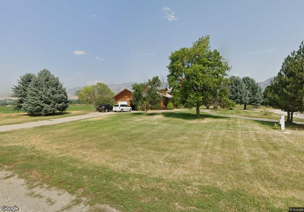
This home is located at 609 E 2330 N, Logan, UT 84341 and is currently estimated at $651,000, approximately $220 per square foot. 609 E 2330 N is a home with nearby schools including Greenville School, Cedar Ridge School, and North Cache Middle School.
Ownership History
Date
Name
Owned For
Owner Type
Purchase Details
Closed on
Feb 8, 2024
Sold by
Eva Nathan H and Eva Fay
Bought by
Nathan H Anderson And Eva Fay Anderson Family and Anderson
Current Estimated Value
Purchase Details
Closed on
Jan 30, 2023
Sold by
Log Cabins Development Llc
Bought by
Log Cabins Development Llc
Create a Home Valuation Report for This Property
The Home Valuation Report is an in-depth analysis detailing your home's value as well as a comparison with similar homes in the area
Home Values in the Area
Average Home Value in this Area
Purchase History
| Date | Buyer | Sale Price | Title Company |
|---|---|---|---|
| Nathan H Anderson And Eva Fay Anderson Family | -- | Northern Title Company | |
| Log Cabins Development Llc | -- | Northern Title | |
| Don Jay And Vicky Fay Johnson Living Trust | -- | -- |
Source: Public Records
Tax History
| Year | Tax Paid | Tax Assessment Tax Assessment Total Assessment is a certain percentage of the fair market value that is determined by local assessors to be the total taxable value of land and additions on the property. | Land | Improvement |
|---|---|---|---|---|
| 2025 | $5,055 | $707,589 | $267,750 | $439,839 |
| 2024 | $5,496 | $715,875 | $0 | $0 |
| 2023 | $2,840 | $346,120 | $0 | $0 |
| 2022 | $2,972 | $346,120 | $0 | $0 |
| 2021 | $2,936 | $522,350 | $125,450 | $396,900 |
| 2020 | $2,645 | $440,182 | $125,450 | $314,732 |
| 2019 | $2,770 | $440,182 | $125,450 | $314,732 |
| 2018 | $2,368 | $366,930 | $93,250 | $273,680 |
| 2017 | $2,308 | $190,490 | $0 | $0 |
| 2016 | $2,344 | $190,490 | $0 | $0 |
| 2015 | $2,151 | $174,140 | $0 | $0 |
| 2014 | $2,100 | $174,140 | $0 | $0 |
| 2013 | -- | $169,765 | $0 | $0 |
Source: Public Records
Map
Nearby Homes
- 2469 N 620 E Unit 3
- 2477 N 620 E Unit 4
- 741 E 2200 N
- 385 E 2280 N Unit D
- 710 E 2160 N
- 2168 N 750 E
- 327 E 2230 N Unit A
- 2640 N Aspen Park Ln
- 456 2650 N
- 2592 N 330 E
- 2048 N 350 E
- 2452 N 200 E
- 2575 N 270 E
- 2356 N 150 E
- 1593 N 110 W Unit 201
- 3426 N Sun Dancer Loop
- 2970 N Mahogony Valley Rd E Unit 6
- 1593 N 110 W Unit 202
- 1200 W 1400 N
- 2950 N Mahogony Valley Rd E Unit 7
- 612 E 2450 N Unit 38140224
- 612 E 2450 N Unit 38140047
- 612 E 2450 N Unit 38140065
- 612 E 2450 N Unit 38140080
- 612 E 2450 N Unit 38140087
- 612 E 2450 N Unit 38140039
- 612 E 2450 N Unit 38140157
- 612 E 2450 N Unit 38140040
- 612 E 2450 N Unit 38140041
- 612 E 2450 N Unit 38140050
- 612 E 2450 N Unit 38140061
- 612 E 2450 N Unit 38140069
- 612 E 2450 N Unit 38140055
- 612 E 2450 N Unit 38140207
- 612 E 2450 N Unit 38140215
- 612 E 2450 N Unit 38140044
- 612 E 2450 N Unit 37884082
- 612 E 2450 N N Unit 37437798
- 612 E 2450 N
- 618 E 2450 N
Your Personal Tour Guide
Ask me questions while you tour the home.