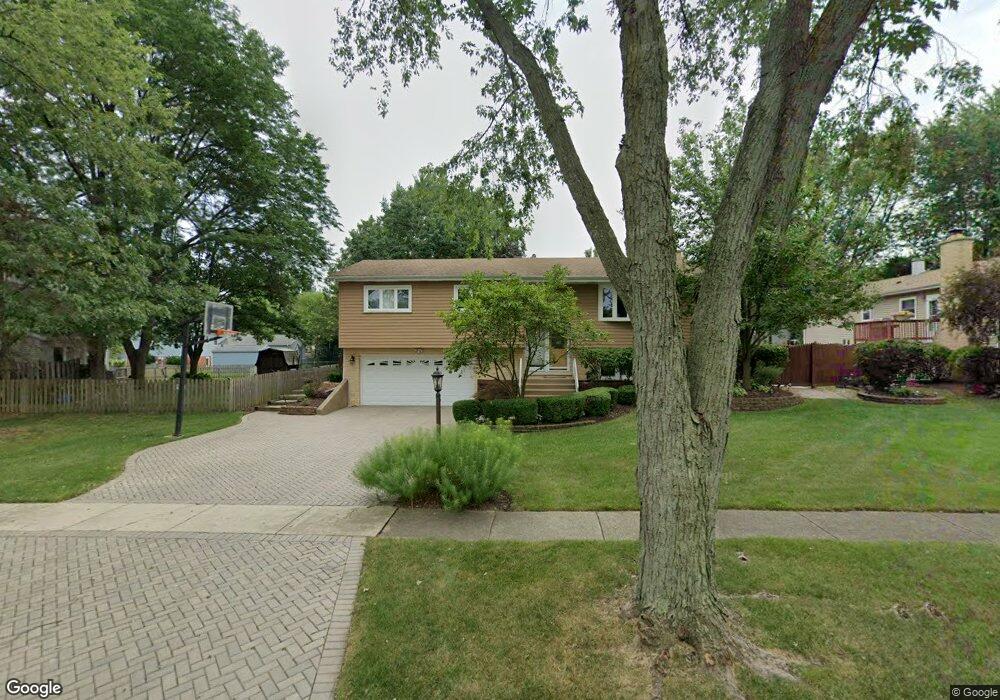
609 Maple Ln Darien, IL 60561
Estimated Value: $434,977 - $530,000
Studio
--
Bath
1,474
Sq Ft
$326/Sq Ft
Est. Value
About This Home
This home is located at 609 Maple Ln, Darien, IL 60561 and is currently estimated at $481,244, approximately $326 per square foot. 609 Maple Ln is a home located in DuPage County with nearby schools including Mark Delay School, Lace Elementary School, and Eisenhower Jr High School.
Ownership History
Date
Name
Owned For
Owner Type
Purchase Details
Closed on
Apr 4, 2018
Sold by
Kelly Meghan T
Bought by
Kelly Meghan T and Meghan T Kelly Trust
Current Estimated Value
Purchase Details
Closed on
Jun 1, 2017
Sold by
Kelly Michael D and Kelly Laureen F
Bought by
Kelly Meghan T
Home Financials for this Owner
Home Financials are based on the most recent Mortgage that was taken out on this home.
Original Mortgage
$220,000
Outstanding Balance
$183,493
Interest Rate
4.12%
Mortgage Type
New Conventional
Estimated Equity
$297,751
Create a Home Valuation Report for This Property
The Home Valuation Report is an in-depth analysis detailing your home's value as well as a comparison with similar homes in the area
Home Values in the Area
Average Home Value in this Area
Purchase History
| Date | Buyer | Sale Price | Title Company |
|---|---|---|---|
| Kelly Meghan T | -- | Attorney | |
| Kelly Meghan T | $200,000 | Chicago Title |
Source: Public Records
Mortgage History
| Date | Status | Borrower | Loan Amount |
|---|---|---|---|
| Open | Kelly Meghan T | $220,000 |
Source: Public Records
Tax History
| Year | Tax Paid | Tax Assessment Tax Assessment Total Assessment is a certain percentage of the fair market value that is determined by local assessors to be the total taxable value of land and additions on the property. | Land | Improvement |
|---|---|---|---|---|
| 2024 | $8,827 | $147,528 | $49,876 | $97,652 |
| 2023 | $8,589 | $134,560 | $45,850 | $88,710 |
| 2022 | $8,420 | $131,780 | $44,900 | $86,880 |
| 2021 | $8,100 | $130,280 | $44,390 | $85,890 |
| 2020 | $7,993 | $127,700 | $43,510 | $84,190 |
| 2019 | $7,727 | $122,530 | $41,750 | $80,780 |
| 2018 | $7,391 | $118,360 | $41,550 | $76,810 |
| 2017 | $7,320 | $113,890 | $39,980 | $73,910 |
| 2016 | $7,007 | $106,900 | $38,210 | $68,690 |
| 2015 | $6,909 | $100,570 | $35,950 | $64,620 |
| 2014 | $6,538 | $94,220 | $34,950 | $59,270 |
| 2013 | $6,320 | $93,780 | $34,790 | $58,990 |
Source: Public Records
Map
Nearby Homes
- 710 Maple Ln
- 7216 Leonard Dr
- 6922 Sierra Dr
- 802 Timber Ln
- 825 Columbia Ln
- 7113 Clarendon Hills Rd
- 6925 Clarendon Hills Rd
- 321 Janet Ave
- 1076 Larkspur Ln Unit C42C
- 7510 Farmingdale Dr Unit 407
- 6136 Bentley Ave
- 7102 Beechnut Ln
- 7525 Nantucket Dr Unit 210
- 714 Walnut Dr Unit 405
- 714 Walnut Dr Unit 205
- 1109 Ponderosa Ct
- 1061 Sean Cir
- 1125 Foxtail Ct
- 310 Sheridan Dr Unit 1D
- 1117 Bristlecone Ct
Your Personal Tour Guide
Ask me questions while you tour the home.