Estimated Value: $278,000 - $310,000
3
Beds
3
Baths
1,336
Sq Ft
$218/Sq Ft
Est. Value
About This Home
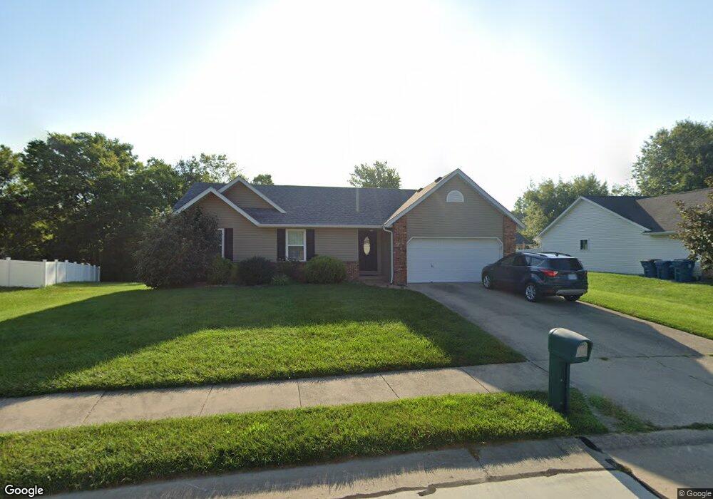
This home is located at 609 Whip Poor Will St, Troy, IL 62294 and is currently estimated at $290,973, approximately $217 per square foot. 609 Whip Poor Will St is a home located in Madison County with nearby schools including Silver Creek Elementary School, Triad Middle School, and Triad High School.
Ownership History
Date
Name
Owned For
Owner Type
Purchase Details
Closed on
Apr 27, 2012
Sold by
Hamilton Emmett
Bought by
Evans Michael R and Evans Kelly S
Current Estimated Value
Home Financials for this Owner
Home Financials are based on the most recent Mortgage that was taken out on this home.
Original Mortgage
$173,400
Outstanding Balance
$119,445
Interest Rate
4.08%
Mortgage Type
New Conventional
Estimated Equity
$171,528
Purchase Details
Closed on
Nov 2, 2004
Sold by
Webb Jean M and Webb James Warren
Bought by
Webb Jean M and Jean M Webb Revocable Living Trust
Create a Home Valuation Report for This Property
The Home Valuation Report is an in-depth analysis detailing your home's value as well as a comparison with similar homes in the area
Home Values in the Area
Average Home Value in this Area
Purchase History
| Date | Buyer | Sale Price | Title Company |
|---|---|---|---|
| Evans Michael R | $170,000 | Abstract & Title Inc | |
| Webb Jean M | -- | -- |
Source: Public Records
Mortgage History
| Date | Status | Borrower | Loan Amount |
|---|---|---|---|
| Open | Evans Michael R | $173,400 |
Source: Public Records
Tax History
| Year | Tax Paid | Tax Assessment Tax Assessment Total Assessment is a certain percentage of the fair market value that is determined by local assessors to be the total taxable value of land and additions on the property. | Land | Improvement |
|---|---|---|---|---|
| 2024 | $4,671 | $72,860 | $14,030 | $58,830 |
| 2023 | $4,671 | $66,150 | $12,740 | $53,410 |
| 2022 | $4,318 | $60,910 | $11,730 | $49,180 |
| 2021 | $3,987 | $57,890 | $11,150 | $46,740 |
| 2020 | $3,984 | $56,390 | $10,860 | $45,530 |
| 2019 | $3,914 | $55,230 | $10,640 | $44,590 |
| 2018 | $3,808 | $51,180 | $9,860 | $41,320 |
| 2017 | $3,673 | $50,110 | $9,650 | $40,460 |
| 2016 | $3,641 | $50,110 | $9,650 | $40,460 |
| 2015 | $3,263 | $48,450 | $9,330 | $39,120 |
| 2014 | $3,263 | $48,450 | $9,330 | $39,120 |
| 2013 | $3,263 | $48,450 | $9,330 | $39,120 |
Source: Public Records
Map
Nearby Homes
- 618 Meadowlark St
- 437 Briar Creek Rd
- 117 Northwoods Dr
- 2335 Staunton Rd
- 313 Old Homestead Dr
- 2281 Staunton Rd
- 2261 Staunton Rd
- 2265 Staunton Rd
- 2289 Staunton Rd
- 2285 Staunton Rd
- 2277 Staunton Rd
- 516 Nottingham Dr
- 511 Zenk Rd
- 402 Ackerman Place
- 402 N Powell St
- 332 N Kimberlin St
- 208 E Throp St
- 532 Taake Ln
- 531 Taake Ln
- xxx Lower Marine Rd
- 607 Whip Poor Will St
- 611 Whip Poor Will St
- 608 Meadowlark St
- 606 Meadowlark St
- 610 Meadowlark St
- 613 Whip Poor Will St
- 605 Whip Poor Will St
- 606 Whip Poor Will St
- 612 Meadowlark St
- 608 Whip Poor Will St
- 604 Meadowlark St
- 604 Whip Poor Will St
- 615 Whip Poor Will St
- 614 Meadowlark St
- 610 Whip Poor Will St
- 603 Whip Poor Will St
- 609 Meadowlark St
- 611 Meadowlark St
- 602 Whip Poor Will St
- 602 Meadowlark St
Your Personal Tour Guide
Ask me questions while you tour the home.