60901 E 185 Rd Fairland, OK 74343
Estimated Value: $103,000 - $199,000
3
Beds
1
Bath
1,552
Sq Ft
$92/Sq Ft
Est. Value
About This Home
This home is located at 60901 E 185 Rd, Fairland, OK 74343 and is currently estimated at $142,716, approximately $91 per square foot. 60901 E 185 Rd is a home located in Ottawa County with nearby schools including Fairland Elementary School and Fairland High School.
Ownership History
Date
Name
Owned For
Owner Type
Purchase Details
Closed on
Jan 26, 2023
Sold by
Earls Russell A and Earls Sandra K
Bought by
Stone Hedge Llc
Current Estimated Value
Purchase Details
Closed on
Apr 26, 2017
Sold by
Wyrick Ashley Diane
Bought by
Robinson Jeremiah
Purchase Details
Closed on
Jan 6, 2015
Sold by
Hess Rusty E and Hess Mariana B
Bought by
Robinson Jeremiah R and Robinson Ashley D
Home Financials for this Owner
Home Financials are based on the most recent Mortgage that was taken out on this home.
Original Mortgage
$46,428
Interest Rate
4.01%
Mortgage Type
New Conventional
Purchase Details
Closed on
Sep 26, 1997
Bought by
Hess Rusty E
Create a Home Valuation Report for This Property
The Home Valuation Report is an in-depth analysis detailing your home's value as well as a comparison with similar homes in the area
Purchase History
| Date | Buyer | Sale Price | Title Company |
|---|---|---|---|
| Stone Hedge Llc | -- | -- | |
| Robinson Jeremiah | -- | None Available | |
| Robinson Jeremiah R | $51,000 | Ottawa County Abstract & Tit | |
| Hess Rusty E | $58,000 | -- |
Source: Public Records
Mortgage History
| Date | Status | Borrower | Loan Amount |
|---|---|---|---|
| Previous Owner | Robinson Jeremiah R | $46,428 |
Source: Public Records
Tax History
| Year | Tax Paid | Tax Assessment Tax Assessment Total Assessment is a certain percentage of the fair market value that is determined by local assessors to be the total taxable value of land and additions on the property. | Land | Improvement |
|---|---|---|---|---|
| 2025 | $955 | $11,131 | $998 | $10,133 |
| 2024 | $973 | $10,600 | $998 | $9,602 |
| 2023 | $910 | $10,096 | $998 | $9,098 |
| 2022 | $867 | $9,615 | $998 | $8,617 |
| 2021 | $786 | $9,158 | $998 | $8,160 |
| 2020 | $692 | $8,722 | $998 | $7,724 |
| 2019 | $669 | $8,306 | $998 | $7,308 |
| 2018 | $677 | $8,306 | $998 | $7,308 |
| 2017 | $663 | $8,102 | $850 | $7,252 |
| 2016 | $639 | $7,717 | $571 | $7,146 |
| 2015 | $513 | $6,612 | $495 | $6,117 |
| 2014 | $505 | $6,999 | $520 | $6,479 |
Source: Public Records
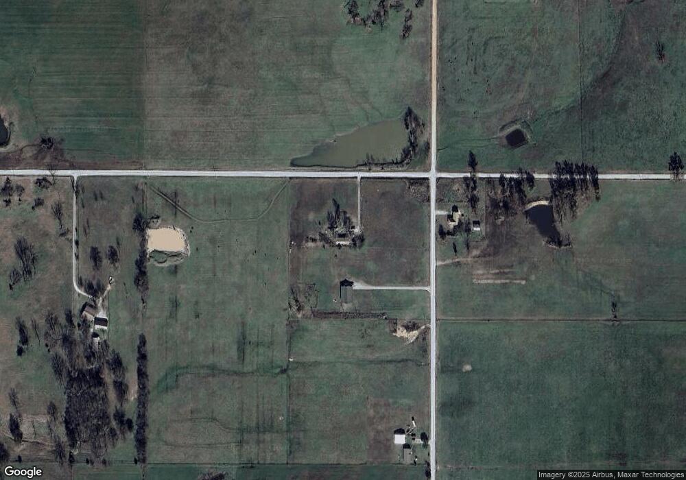
Map
Nearby Homes
- 61215 E 194 Rd
- 19510 S 605 Rd
- 60750 E 200 Rd
- 18900 S 630 Rd
- 59300 E 170 Rd
- 17270 S 630 Rd
- 63743 E 202 Rd
- 63060 E 157 Rd
- 398 E Church Ave
- 18101 S 641 Rd
- 301 E Church Ave
- 0 E 180 Rd
- 206 E Conner Ave
- 63824 E 206 Rd
- 16 E Church Ave
- 13 Quannah Dr
- 107 S Collins St
- 20750 S 580 Rd
- 303 W Market Ave
- 63030 E 157 Rd
- 18601 S 610 Rd
- 60701 E 185 Rd
- 18250 S 610 Rd
- 61300 E 185 Rd
- 60521 E 190 Rd
- 60992 E 190 Rd
- 60800 E 190 Rd
- 60925 E 190 Rd
- 61258 E 190 Rd
- 0 S 610 Rd Unit 24-1130
- 0 S 610 Rd Unit 24-1129
- 61601 E 180 Rd
- 61500 E 185 Rd
- 60500 E 190 Rd
- 19090 S 610 Rd
- 60615 E 190 Rd
- 17800 S 610 Rd
- 17800 S 610 Rd
- 61609 E 180 Rd
- 60201 E 185 Rd
Your Personal Tour Guide
Ask me questions while you tour the home.