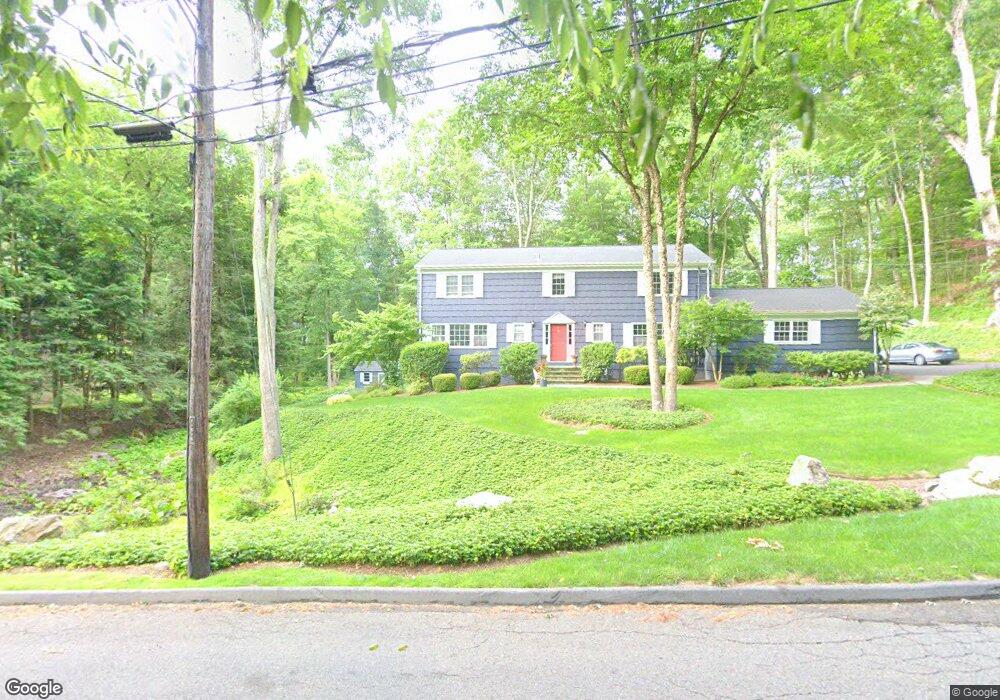
61 Boulder Brook Dr Stamford, CT 06903
North Stamford NeighborhoodEstimated Value: $1,133,000 - $1,271,000
4
Beds
3
Baths
3,479
Sq Ft
$345/Sq Ft
Est. Value
About This Home
This home is located at 61 Boulder Brook Dr, Stamford, CT 06903 and is currently estimated at $1,199,436, approximately $344 per square foot. 61 Boulder Brook Dr is a home located in Fairfield County with nearby schools including Northeast Elementary School, Turn of River School, and Westhill High School.
Ownership History
Date
Name
Owned For
Owner Type
Purchase Details
Closed on
Aug 15, 1994
Sold by
Silverstein Mark K and Silverstein Heidi R
Bought by
Hilsenrath Craig O and Hilsenrath Lisa M
Current Estimated Value
Purchase Details
Closed on
Jul 10, 1991
Sold by
Kehoe Christopher and Mcardle Mary
Bought by
Silverstein Mark and Silverstein Heidi
Create a Home Valuation Report for This Property
The Home Valuation Report is an in-depth analysis detailing your home's value as well as a comparison with similar homes in the area
Home Values in the Area
Average Home Value in this Area
Purchase History
| Date | Buyer | Sale Price | Title Company |
|---|---|---|---|
| Hilsenrath Craig O | $420,000 | -- | |
| Silverstein Mark | $426,000 | -- |
Source: Public Records
Mortgage History
| Date | Status | Borrower | Loan Amount |
|---|---|---|---|
| Open | Silverstein Mark | $200,000 | |
| Closed | Silverstein Mark | $178,000 | |
| Closed | Silverstein Mark | $140,000 |
Source: Public Records
Tax History
| Year | Tax Paid | Tax Assessment Tax Assessment Total Assessment is a certain percentage of the fair market value that is determined by local assessors to be the total taxable value of land and additions on the property. | Land | Improvement |
|---|---|---|---|---|
| 2025 | $14,014 | $602,240 | $274,780 | $327,460 |
| 2024 | $13,179 | $579,030 | $274,780 | $304,250 |
| 2023 | $14,163 | $579,030 | $274,780 | $304,250 |
| 2022 | $12,280 | $466,400 | $208,160 | $258,240 |
| 2021 | $12,112 | $466,400 | $208,160 | $258,240 |
| 2020 | $11,814 | $466,400 | $208,160 | $258,240 |
| 2019 | $11,814 | $466,400 | $208,160 | $258,240 |
| 2018 | $11,403 | $466,400 | $208,160 | $258,240 |
| 2017 | $11,707 | $457,500 | $217,210 | $240,290 |
| 2016 | $11,355 | $457,500 | $217,210 | $240,290 |
| 2015 | $11,044 | $457,500 | $217,210 | $240,290 |
| 2014 | $10,664 | $457,500 | $217,210 | $240,290 |
Source: Public Records
Map
Nearby Homes
- 320 Chestnut Hill Rd
- 37 Haviland Ct
- 40 Wildwood Rd
- 25 Wildwood Rd
- 150 Wildwood Rd
- 14 Chestnut Hill Rd
- 10 Heritage Ln
- 33 Pinnacle Rock Rd
- 202 Fox Ridge Rd
- 251 Saddle Hill Rd
- 223 Red Fox Rd
- 511 Den Rd
- 15 Very Merry Rd
- 459 Den Rd
- 43 Ridgecrest Rd
- 42 Dogwood Ln
- 48 Briarwood Ln
- 2408 High Ridge Rd
- 81 Ridge Brook Dr
- 71 Heming Way
- 65 Boulder Brook Dr
- 39 Boulder Brook Dr
- 104 Chestnut Hill Ln
- 89 Hunting Ridge Rd
- 83 Boulder Brook Dr
- 70 Boulder Brook Dr
- 52 Boulder Brook Dr
- 110 Chestnut Hill Ln
- 93 Hunting Ridge Rd
- 105 Hunting Ridge Rd
- 36 Boulder Brook Dr
- 93 Hunting Ridge Rd
- 17 Boulder Brook Dr
- 99 Boulder Brook Dr
- 97 Hunting Ridge Rd
- 87 Hunting Ridge Rd
- 62 Boulder Brook Dr
- 47 Bennington Ct
- 12 Boulder Brook Dr
- 42 Boulder Brook Dr
Your Personal Tour Guide
Ask me questions while you tour the home.