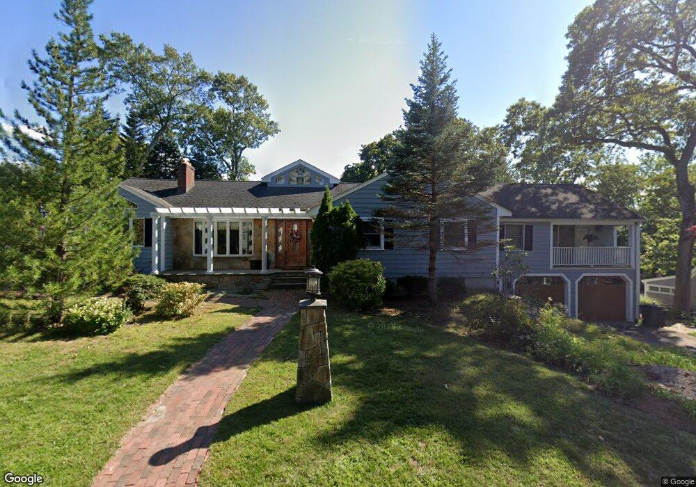
61 Colby Rd Braintree, MA 02184
North Braintree NeighborhoodEstimated Value: $1,227,000 - $1,353,000
About This Home
This home is located at 61 Colby Rd, Braintree, MA 02184 and is currently estimated at $1,281,873, approximately $283 per square foot. 61 Colby Rd is a home located in Norfolk County with nearby schools including Braintree High School, Step Ahead Kindergarten, and Meeting House Montessori School.
Ownership History
We collect this data history from publicly available records. To have your information removed, we recommend requesting removal directly through your county’s website.
Purchase Details
Home Financials for this Owner
Home Financials are based on the most recent Mortgage that was taken out on this home.Home Values in the Area
Average Home Value in this Area
Purchase History
We collect this data history from publicly available records. To have your information removed, we recommend requesting removal directly through your county’s website.
| Date | Buyer | Sale Price | Title Company |
|---|---|---|---|
| $835,000 | -- |
Mortgage History
We collect this data history from publicly available records. To have your information removed, we recommend requesting removal directly through your county’s website.
| Date | Status | Borrower | Loan Amount |
|---|---|---|---|
| Open | $500,000 | ||
| Closed | $500,000 |
Tax History
We collect this data history from publicly available records. To have your information removed, we recommend requesting removal directly through your county’s website.
| Year | Tax Paid | Tax Assessment Tax Assessment Total Assessment is a certain percentage of the fair market value that is determined by local assessors to be the total taxable value of land and additions on the property. | Land | Improvement |
|---|---|---|---|---|
| 2025 | $10,322 | $1,034,300 | $399,200 | $635,100 |
| 2024 | $9,443 | $996,100 | $367,700 | $628,400 |
| 2023 | $9,027 | $924,900 | $336,200 | $588,700 |
| 2022 | $8,784 | $882,800 | $294,100 | $588,700 |
| 2021 | $8,106 | $814,700 | $265,800 | $548,900 |
| 2020 | $7,794 | $790,500 | $241,600 | $548,900 |
| 2019 | $6,992 | $693,000 | $241,600 | $451,400 |
| 2018 | $6,781 | $643,400 | $210,100 | $433,300 |
| 2017 | $6,910 | $643,400 | $210,100 | $433,300 |
| 2016 | $6,715 | $611,600 | $189,100 | $422,500 |
| 2015 | $6,724 | $607,400 | $184,900 | $422,500 |
| 2014 | $6,062 | $530,800 | $166,000 | $364,800 |
Map
- 80 Hollingsworth Ave
- 98 West St
- 55 Hobart Ave
- 47 Judson St
- 78 Windemere Cir
- 14 Royal Lake Dr Unit 1
- 5 Cameo Rd
- 11 Royal Lake Dr Unit 6
- 12 Royal Lake Dr Unit 8
- 801 Granite St
- 55 Franklin St
- 49 Cochato Rd
- 78 French Ave
- 6 Franklin St
- 20 Blossom Rd
- 241 Walnut St
- 399 Pond St Unit B8
- 18 Howie Rd
- 63 Dickerman Ln
- 4 Lake St
- 20 Reed Hill Rd
- 16 Reed Hill Rd
- 26 Reed Hill Rd
- 26 Reed Hill Rd Unit 2L
- 26 Reed Hill Rd Unit 1L
- 26 Reed Hill Rd Unit 2R
- 26 Reed Hill Rd Unit 1R
- 26 Reed Hill Rd Unit 4
- 327 Franklin St
- 333 Franklin St
- 10 Reed Hill Rd
- 49 Colby Rd
- 337 Franklin St
- 323 Franklin St
- 341 Franklin St
- 34 Reed Hill Rd
- 21 Reed Hill Rd
- 315 Franklin St
- 315 Franklin St Unit 1
- 315 Franklin St Unit 2
Ask me questions while you tour the home.