61 Foxtail Ln Sequim, WA 98382
Estimated Value: $631,766 - $666,000
2
Beds
2
Baths
1,847
Sq Ft
$349/Sq Ft
Est. Value
About This Home
This home is located at 61 Foxtail Ln, Sequim, WA 98382 and is currently estimated at $644,255, approximately $348 per square foot. 61 Foxtail Ln is a home located in Clallam County with nearby schools including Greywolf Elementary School, Sequim Middle School, and Sequim Senior High School.
Ownership History
Date
Name
Owned For
Owner Type
Purchase Details
Closed on
May 17, 2011
Sold by
Payne Nancy L
Bought by
Payne Christopher G
Current Estimated Value
Purchase Details
Closed on
Aug 16, 2007
Sold by
Anderson Lorraine C
Bought by
Payne Michael M and Payne Nancy L
Home Financials for this Owner
Home Financials are based on the most recent Mortgage that was taken out on this home.
Original Mortgage
$35,000
Interest Rate
6.73%
Mortgage Type
New Conventional
Create a Home Valuation Report for This Property
The Home Valuation Report is an in-depth analysis detailing your home's value as well as a comparison with similar homes in the area
Purchase History
| Date | Buyer | Sale Price | Title Company |
|---|---|---|---|
| Payne Christopher G | $65,000 | None Available | |
| Payne Michael M | -- | None Available | |
| Payne Michael M | $338,000 | Olympic Peninsula Title Co |
Source: Public Records
Mortgage History
| Date | Status | Borrower | Loan Amount |
|---|---|---|---|
| Previous Owner | Payne Michael M | $35,000 |
Source: Public Records
Tax History
| Year | Tax Paid | Tax Assessment Tax Assessment Total Assessment is a certain percentage of the fair market value that is determined by local assessors to be the total taxable value of land and additions on the property. | Land | Improvement |
|---|---|---|---|---|
| 2025 | $4,170 | $527,422 | $136,238 | $391,184 |
| 2023 | $3,902 | $526,191 | $136,238 | $389,953 |
| 2022 | $3,787 | $516,918 | $129,750 | $387,168 |
| 2021 | $3,510 | $380,320 | $63,569 | $316,751 |
| 2020 | $3,635 | $380,320 | $63,569 | $316,751 |
| 2018 | $3,088 | $328,799 | $63,569 | $265,230 |
| 2017 | $2,486 | $264,041 | $63,569 | $200,472 |
| 2016 | $2,486 | $265,126 | $63,569 | $201,557 |
| 2015 | $2,486 | $261,692 | $63,569 | $198,123 |
| 2013 | $2,486 | $244,704 | $63,569 | $181,135 |
| 2012 | $2,486 | $250,000 | $70,632 | $179,368 |
Source: Public Records
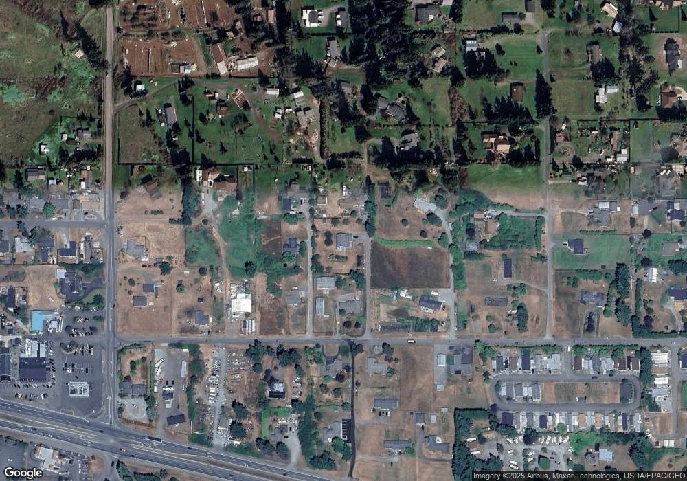
Map
Nearby Homes
- 20 Ed's Place
- 93 Fircrest Dr
- 491 Mill Rd
- 491 Mill Rd Unit 30
- 491 Mill Rd Unit 8
- 111 Green Meadows Dr
- 161 Fircrest Dr
- 200 Fircrest Dr
- 65 Sussex Ct Unit 20
- 61 Sussex Ct Unit 19
- 47 Sussex Ct Unit 18
- 68 Sussex Ct Unit 22
- 45 Sussex Ct Unit 16
- 261131 U S 101 Unit 2
- 64 Sussex Ct Unit 21
- 999 Savanna Soleil Way
- 153 Moonshadow Ln
- 161 Moonshadow Ln
- 2654 Atterberry Rd
- 93 Moonshadow Ln
- 163 Gupster Rd
- 91 Foxtail Ln
- 145 Gupster Rd
- 147 Gupster Rd
- 143 Gupster Rd
- 245 COMBO Gupster Rd
- 241 Gupster Rd
- 154 Mill Rd
- 142 Foxtail Ln
- 150 Gupster Rd
- 123 Foxtail Ln
- 180 Gupster Rd Unit 42 & 44 My Way
- 180 Gupster Rd
- 150 Foxtail Ln
- 61 Gupster Rd
- 45 Gulls Ln
- 252 Gupster Rd
- 281 Gupster Rd
- 3 Gulls Ln
- 236 Mill Rd
Your Personal Tour Guide
Ask me questions while you tour the home.