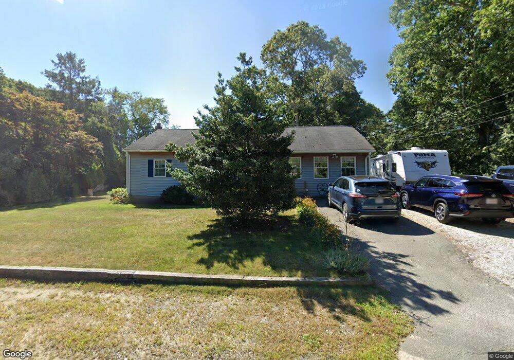
61 Maple St Hyannis, MA 02601
Hyannis NeighborhoodEstimated Value: $517,526 - $637,000
3
Beds
2
Baths
1,225
Sq Ft
$453/Sq Ft
Est. Value
About This Home
This home is located at 61 Maple St, Hyannis, MA 02601 and is currently estimated at $554,632, approximately $452 per square foot. 61 Maple St is a home located in Barnstable County with nearby schools including Hyannis West Elementary School, Barnstable United Elementary School, and Barnstable Intermediate School.
Ownership History
Date
Name
Owned For
Owner Type
Purchase Details
Closed on
Feb 24, 2016
Sold by
Paquette Wendy M
Bought by
Paquette Patrick J
Current Estimated Value
Create a Home Valuation Report for This Property
The Home Valuation Report is an in-depth analysis detailing your home's value as well as a comparison with similar homes in the area
Home Values in the Area
Average Home Value in this Area
Purchase History
| Date | Buyer | Sale Price | Title Company |
|---|---|---|---|
| Paquette Patrick J | -- | -- |
Source: Public Records
Tax History
| Year | Tax Paid | Tax Assessment Tax Assessment Total Assessment is a certain percentage of the fair market value that is determined by local assessors to be the total taxable value of land and additions on the property. | Land | Improvement |
|---|---|---|---|---|
| 2025 | $4,240 | $457,400 | $134,100 | $323,300 |
| 2024 | $4,111 | $454,300 | $134,100 | $320,200 |
| 2023 | $3,856 | $402,900 | $128,700 | $274,200 |
| 2022 | $3,859 | $333,500 | $95,300 | $238,200 |
| 2021 | $3,385 | $284,200 | $90,300 | $193,900 |
| 2020 | $3,330 | $270,100 | $90,300 | $179,800 |
| 2019 | $3,053 | $242,700 | $85,300 | $157,400 |
| 2018 | $2,642 | $214,800 | $89,800 | $125,000 |
| 2017 | $2,251 | $187,700 | $68,600 | $119,100 |
| 2016 | $2,208 | $188,200 | $69,100 | $119,100 |
| 2015 | $2,110 | $182,400 | $66,400 | $116,000 |
Source: Public Records
Map
Nearby Homes
Your Personal Tour Guide
Ask me questions while you tour the home.