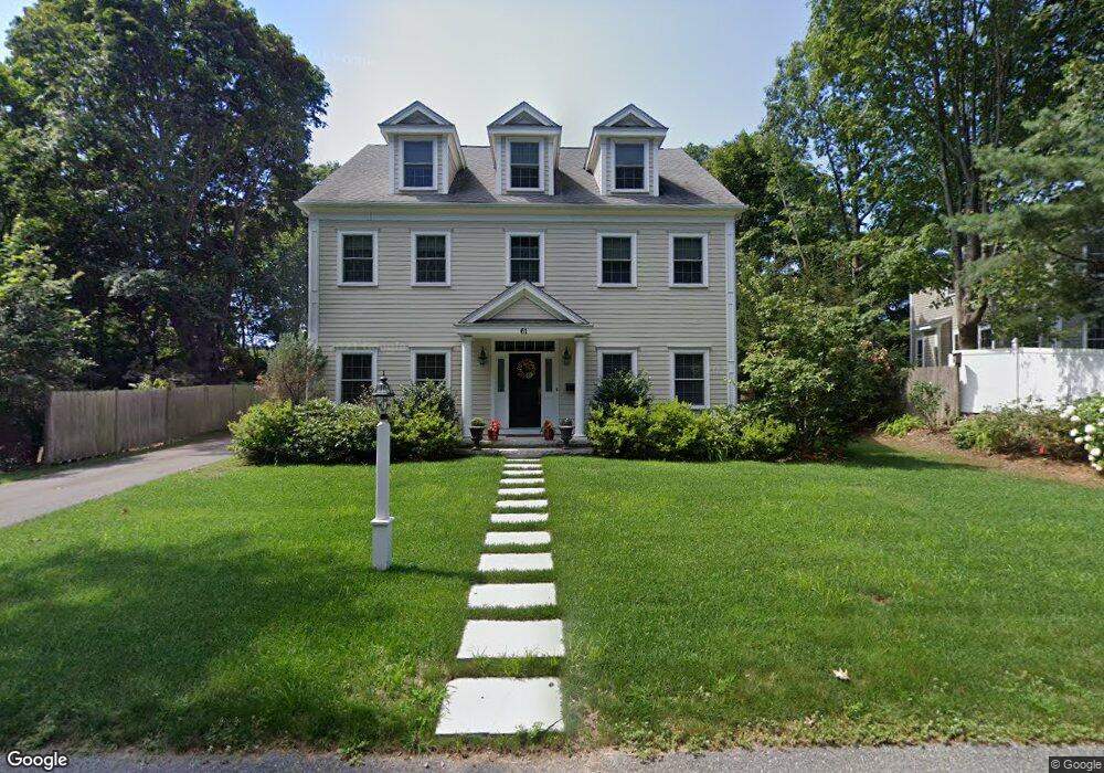
61 River Ridge Wellesley Hills, MA 02481
Wellesley Hills NeighborhoodEstimated Value: $1,919,000 - $2,562,000
5
Beds
5
Baths
5,000
Sq Ft
$463/Sq Ft
Est. Value
About This Home
This home is located at 61 River Ridge, Wellesley Hills, MA 02481 and is currently estimated at $2,312,630, approximately $462 per square foot. 61 River Ridge is a home located in Norfolk County with nearby schools including Schofield Elementary School, Wellesley Middle School, and Wellesley Sr High School.
Ownership History
Date
Name
Owned For
Owner Type
Purchase Details
Closed on
Sep 28, 2024
Sold by
Perdoni Nora C
Bought by
Nora C Perdoni T C and Nora Perdoni
Current Estimated Value
Purchase Details
Closed on
Aug 5, 2014
Sold by
Int Int and Int Perdoni
Bought by
Perdoni Eugenio and Perdoni Nora C
Purchase Details
Closed on
Dec 28, 2012
Sold by
Perdoni Eugenio and Perdoni Nora C
Bought by
Int Int and Int Perdoni
Create a Home Valuation Report for This Property
The Home Valuation Report is an in-depth analysis detailing your home's value as well as a comparison with similar homes in the area
Home Values in the Area
Average Home Value in this Area
Purchase History
| Date | Buyer | Sale Price | Title Company |
|---|---|---|---|
| Nora C Perdoni T C | -- | None Available | |
| Eugenio Perdoni Ft | -- | None Available | |
| Nora C Perdoni T C | -- | None Available | |
| Perdoni Eugenio | -- | -- | |
| Int Int | -- | -- | |
| Perdoni Eugenio | -- | -- | |
| Perdoni Eugenio | -- | -- | |
| Perdoni Eugenio | -- | -- |
Source: Public Records
Tax History
| Year | Tax Paid | Tax Assessment Tax Assessment Total Assessment is a certain percentage of the fair market value that is determined by local assessors to be the total taxable value of land and additions on the property. | Land | Improvement |
|---|---|---|---|---|
| 2025 | $21,125 | $2,055,000 | $944,000 | $1,111,000 |
| 2024 | $20,622 | $1,981,000 | $899,000 | $1,082,000 |
| 2023 | $20,415 | $1,783,000 | $797,000 | $986,000 |
| 2022 | $18,653 | $1,597,000 | $684,000 | $913,000 |
| 2021 | $17,719 | $1,508,000 | $595,000 | $913,000 |
| 2020 | $17,432 | $1,508,000 | $595,000 | $913,000 |
| 2019 | $17,448 | $1,508,000 | $595,000 | $913,000 |
| 2018 | $17,316 | $1,449,000 | $590,000 | $859,000 |
| 2017 | $17,084 | $1,449,000 | $590,000 | $859,000 |
| 2016 | $17,461 | $1,476,000 | $580,000 | $896,000 |
| 2015 | $17,097 | $1,479,000 | $580,000 | $899,000 |
Source: Public Records
Map
Nearby Homes
- 50 Dwhinda Rd
- 43 Palmer Rd
- 28 Emerson Rd
- 455 Waban Ave
- 320 Quinobequin Rd
- 2323 Washington St Unit 1-6
- 49 Whittier Rd
- 8 Tennyson Rd
- 6 Willow St
- 32 Lantern Ln
- 1806 Beacon St
- 470 Quinobequin Rd
- 0 Metacomet Rd
- 33 Metacomet Rd
- 34 Pilgrim Rd
- 22 Standish Rd
- 144 Washington St
- 86 Waban Ave
- 50 Gould Rd
- 6 Intervale Rd
- 57 River Ridge
- 57 River Ridge Unit 1
- 57 River Ridge Unit 3
- 57 River Ridge Unit 2
- 57 River Ridge Unit B
- 69 River Ridge
- 30 Cedar St
- 28 Cedar St
- 32 Cedar St
- 75 River Ridge
- 45 River Ridge
- 34 Cedar St
- 26 Cedar St
- 36 Cedar St
- 24 Cedar St
- 77 River Ridge
- 41 River Ridge
- 46 River Ridge
- 40 Cedar St
- 22 Cedar St
Your Personal Tour Guide
Ask me questions while you tour the home.