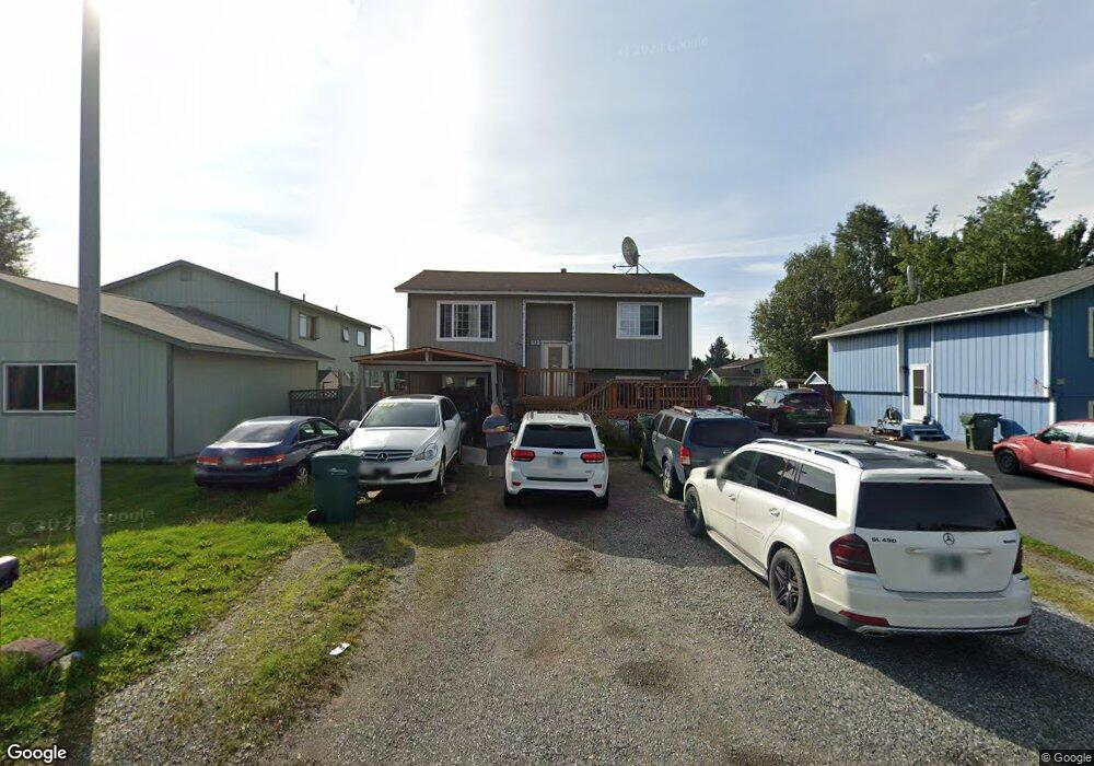
610 W 91st Ave Anchorage, AK 99515
Taku-Campbell NeighborhoodEstimated Value: $402,000 - $422,859
4
Beds
2
Baths
1,980
Sq Ft
$208/Sq Ft
Est. Value
About This Home
This home is located at 610 W 91st Ave, Anchorage, AK 99515 and is currently estimated at $410,953, approximately $207 per square foot. 610 W 91st Ave is a home located in Anchorage Municipality with nearby schools including Campbell Elementary School, Hanshew Middle School, and Service High School.
Ownership History
Date
Name
Owned For
Owner Type
Purchase Details
Closed on
Nov 22, 2004
Sold by
Sounthone Heuang and Vongphonthong Sengkham
Bought by
Sounthone Heuang and Vongphonthong Sengkham
Current Estimated Value
Home Financials for this Owner
Home Financials are based on the most recent Mortgage that was taken out on this home.
Original Mortgage
$110,524
Interest Rate
5.72%
Mortgage Type
FHA
Purchase Details
Closed on
Nov 17, 1995
Sold by
Krank Sharon E
Bought by
Sounthone Heuang and Vongphonthong Sengkham
Home Financials for this Owner
Home Financials are based on the most recent Mortgage that was taken out on this home.
Original Mortgage
$118,610
Interest Rate
7.58%
Mortgage Type
FHA
Create a Home Valuation Report for This Property
The Home Valuation Report is an in-depth analysis detailing your home's value as well as a comparison with similar homes in the area
Home Values in the Area
Average Home Value in this Area
Purchase History
| Date | Buyer | Sale Price | Title Company |
|---|---|---|---|
| Sounthone Heuang | -- | Pacific Northwest Title Ak I | |
| Sounthone Heuang | -- | -- | |
| Sounthone Heuang | -- | -- |
Source: Public Records
Mortgage History
| Date | Status | Borrower | Loan Amount |
|---|---|---|---|
| Closed | Sounthone Heuang | $110,524 | |
| Closed | Sounthone Heuang | $118,610 |
Source: Public Records
Tax History
| Year | Tax Paid | Tax Assessment Tax Assessment Total Assessment is a certain percentage of the fair market value that is determined by local assessors to be the total taxable value of land and additions on the property. | Land | Improvement |
|---|---|---|---|---|
| 2025 | $2,330 | $401,100 | $107,500 | $293,600 |
| 2024 | $2,330 | $369,300 | $98,500 | $270,800 |
| 2023 | $5,950 | $349,400 | $93,800 | $255,600 |
| 2022 | $2,585 | $353,500 | $93,800 | $259,700 |
| 2021 | $5,581 | $309,700 | $93,800 | $215,900 |
| 2020 | $1,672 | $299,500 | $93,800 | $205,700 |
| 2019 | $3,442 | $260,400 | $93,800 | $166,600 |
| 2018 | $3,305 | $251,500 | $93,800 | $157,700 |
| 2017 | $3,697 | $256,100 | $89,400 | $166,700 |
| 2016 | $3,400 | $263,200 | $84,400 | $178,800 |
| 2015 | $3,400 | $254,900 | $84,400 | $170,500 |
| 2014 | $3,400 | $245,900 | $75,400 | $170,500 |
Source: Public Records
Map
Nearby Homes
- 9001 Vernon St
- 675 W 87th Ave
- NHN Laurel Acres Tract ''C''
- L2 Arctic Blvd
- 000 Arctic Blvd
- 1200 W Dimond Blvd Unit 1478
- 1200 W Dimond Blvd Unit 142
- 1767 W Dimond Blvd
- 374 E 87th Ave
- L14-18 Laurel Acres
- 8201 Frank St
- 150 Sorcerer Ct
- 629 Highlander Cir
- 654 Highlander Cir
- 10040 Zeus Cir
- 10031 Zeus Cir
- 904 Jayme Ct
- 7803 Raymar Cir
- 7800 Rovenna St
- 9561 Canton Loop Unit 174
Your Personal Tour Guide
Ask me questions while you tour the home.