61009 Mount Olive Rd Mc Arthur, OH 45651
Estimated Value: $197,000 - $475,000
Studio
2
Baths
2,328
Sq Ft
$132/Sq Ft
Est. Value
About This Home
This home is located at 61009 Mount Olive Rd, Mc Arthur, OH 45651 and is currently estimated at $307,120, approximately $131 per square foot. 61009 Mount Olive Rd is a home located in Vinton County with nearby schools including Vinton County High School.
Ownership History
Date
Name
Owned For
Owner Type
Purchase Details
Closed on
Apr 2, 2021
Sold by
Ousley Wanda R
Bought by
Ousley Wanda R and Ousley Charles M
Current Estimated Value
Home Financials for this Owner
Home Financials are based on the most recent Mortgage that was taken out on this home.
Original Mortgage
$138,000
Outstanding Balance
$103,390
Interest Rate
2.9%
Mortgage Type
New Conventional
Estimated Equity
$203,730
Purchase Details
Closed on
Dec 6, 2019
Create a Home Valuation Report for This Property
The Home Valuation Report is an in-depth analysis detailing your home's value as well as a comparison with similar homes in the area
Purchase History
| Date | Buyer | Sale Price | Title Company |
|---|---|---|---|
| Ousley Wanda R | -- | Solidifi Title & Closing | |
| -- | -- | -- |
Source: Public Records
Mortgage History
| Date | Status | Borrower | Loan Amount |
|---|---|---|---|
| Open | Ousley Wanda R | $138,000 |
Source: Public Records
Tax History
| Year | Tax Paid | Tax Assessment Tax Assessment Total Assessment is a certain percentage of the fair market value that is determined by local assessors to be the total taxable value of land and additions on the property. | Land | Improvement |
|---|---|---|---|---|
| 2025 | $2,537 | $75,110 | $6,840 | $68,270 |
| 2024 | $2,545 | $75,110 | $6,840 | $68,270 |
| 2023 | $2,157 | $58,090 | $4,750 | $53,340 |
| 2022 | $2,164 | $58,090 | $4,750 | $53,340 |
| 2021 | $2,153 | $58,090 | $4,750 | $53,340 |
| 2020 | $2,119 | $54,140 | $4,810 | $49,330 |
| 2019 | $2,054 | $52,610 | $3,280 | $49,330 |
| 2018 | $2,032 | $52,610 | $3,280 | $49,330 |
| 2017 | $1,887 | $47,820 | $2,980 | $44,840 |
| 2016 | $1,880 | $47,820 | $2,980 | $44,840 |
| 2015 | $1,836 | $49,490 | $2,800 | $46,690 |
| 2014 | $1,836 | $49,490 | $2,800 | $46,690 |
Source: Public Records
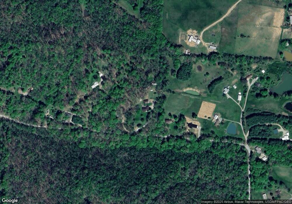
Map
Nearby Homes
- 0 Curry Rd
- 61151 Curry Rd
- 61136 Bolar Rd
- 59499 Curry Rd
- 30083 Goosecreek Rd
- 58501 Us Highway 50
- 58510 Us Highway 50
- 33695 State Route 683
- 33695 Ohio 683
- 0 Henderson Rd
- 27012 Goosecreek Rd
- 0 State Route 278
- 0 State Route 278 Unit 26407688
- 0 State Route 278 Unit 26407668
- 27783 Locust Grove Rd
- 0 Wolf Hill Rd Unit 25468491
- 0 Wolf Hill Rd Unit 25511187
- 0 Wolf Hill Rd Unit (Tract 3 Wolf Hill)
- 0 Wolf Hill Rd Unit 25469221
- 0 Wolf Hill Rd Unit (Tract 4 Wolf Hill)
- 61199 Mount Olive Rd
- 60963 Mount Olive Rd
- 61167 Mount Olive Rd
- 60887 Mount Olive Rd
- 60851 Mount Olive Rd
- 61153 Mount Olive Rd
- 61221 Mount Olive Rd
- 60835 Mount Olive Rd
- 61215 Mount Olive Rd
- 61231 Mount Olive Rd
- 60717 Mount Olive Rd
- 61227 Mount Olive Rd
- 61235 Mount Olive Rd
- 61415 Paw Paw Rd
- 61275 Us Highway 50
- 61275 Us Highway 50
- 61275 Us Highway 50
- 61478 Curry Rd
- 61544 Curry Rd
- 61428 Curry Rd
Your Personal Tour Guide
Ask me questions while you tour the home.