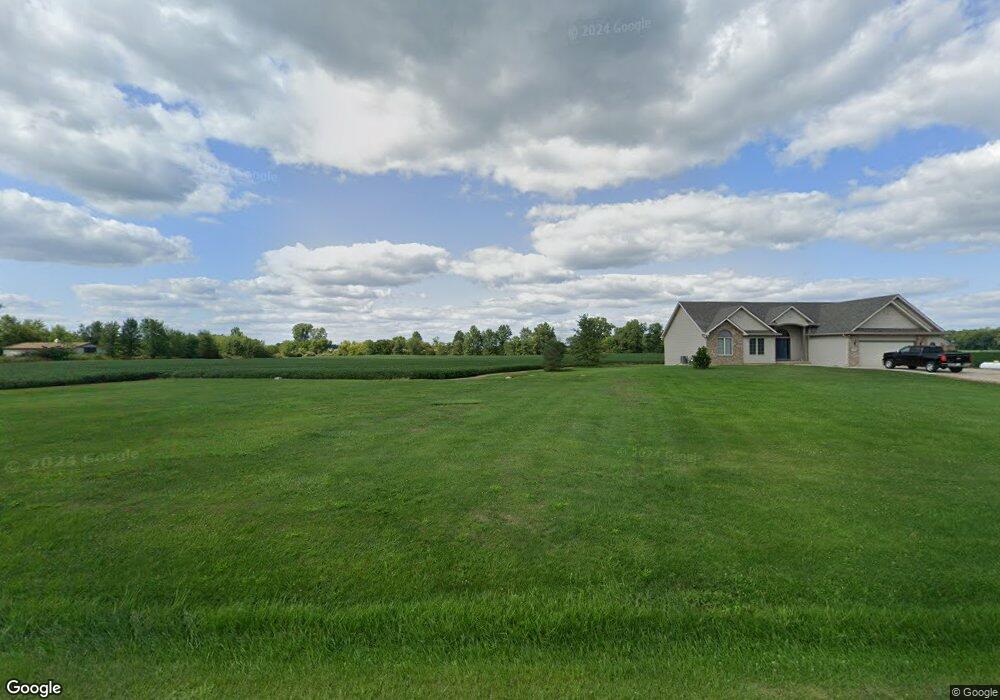
6101 E 450 N Decatur, IN 46733
Estimated Value: $271,000 - $534,657
3
Beds
2
Baths
1,888
Sq Ft
$213/Sq Ft
Est. Value
About This Home
This home is located at 6101 E 450 N, Decatur, IN 46733 and is currently estimated at $401,886, approximately $212 per square foot. 6101 E 450 N is a home located in Adams County with nearby schools including Adams Central Elementary School, Adams Central Middle School, and Adams Central High School.
Ownership History
Date
Name
Owned For
Owner Type
Purchase Details
Closed on
Aug 16, 2010
Sold by
Haines Erin S
Bought by
Haines Myron L
Current Estimated Value
Purchase Details
Closed on
Jun 17, 2005
Sold by
Haines Myron L
Bought by
Haines Myron L and Kirchner Erin S
Home Financials for this Owner
Home Financials are based on the most recent Mortgage that was taken out on this home.
Original Mortgage
$214,000
Interest Rate
5.82%
Mortgage Type
New Conventional
Create a Home Valuation Report for This Property
The Home Valuation Report is an in-depth analysis detailing your home's value as well as a comparison with similar homes in the area
Purchase History
| Date | Buyer | Sale Price | Title Company |
|---|---|---|---|
| Haines Myron L | -- | -- | |
| Haines Myron L | -- | -- |
Source: Public Records
Mortgage History
| Date | Status | Borrower | Loan Amount |
|---|---|---|---|
| Closed | Haines Myron L | $214,000 |
Source: Public Records
Tax History
| Year | Tax Paid | Tax Assessment Tax Assessment Total Assessment is a certain percentage of the fair market value that is determined by local assessors to be the total taxable value of land and additions on the property. | Land | Improvement |
|---|---|---|---|---|
| 2025 | $2,578 | $326,900 | $47,200 | $279,700 |
| 2024 | $2,578 | $308,200 | $48,900 | $259,300 |
| 2023 | $2,362 | $284,000 | $44,900 | $239,100 |
| 2022 | $2,006 | $260,700 | $40,600 | $220,100 |
| 2021 | $1,968 | $244,700 | $35,500 | $209,200 |
| 2020 | $1,854 | $239,300 | $35,400 | $203,900 |
| 2019 | $1,780 | $241,500 | $38,400 | $203,100 |
| 2018 | $1,787 | $237,900 | $38,900 | $199,000 |
| 2017 | $1,832 | $236,700 | $39,500 | $197,200 |
| 2016 | $1,437 | $231,800 | $40,900 | $190,900 |
| 2014 | $1,456 | $226,400 | $41,900 | $184,500 |
| 2013 | $1,653 | $219,200 | $38,700 | $180,500 |
Source: Public Records
Map
Nearby Homes
- 213 E Jackson St
- 3020 Wren Landeck Rd
- 16021 E State Line Rd
- 3900 N Salem Rd
- 1224 E Monroe St
- 122 Brookwood Dr
- 403 Riley St
- 100 Sprague St
- 104 Fremont Ln
- 0 E 400 N
- 302 Simpson St
- 610 Fort Recovery Rd
- 0 N 300 E
- 911 Hickory Ct
- 773 Sycamore St
- 1214 E Bellmont Rd
- 713 Poplar Pass
- 827 Chestnut Ct
- 323 S 1st St
- 815 Everhart Dr
Your Personal Tour Guide
Ask me questions while you tour the home.