6101 Michael Dr Brookpark, OH 44142
Estimated Value: $109,000 - $203,000
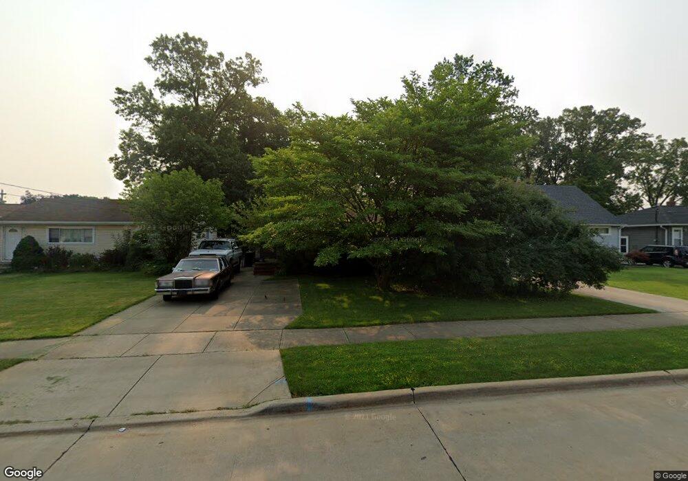
About This Home
This home is located at 6101 Michael Dr, Brookpark, OH 44142 and is currently estimated at $164,262, approximately $175 per square foot. 6101 Michael Dr is a home located in Cuyahoga County with nearby schools including Berea-Midpark Middle School, Berea-Midpark High School, and Huber Heights Preparatory Academy Parma Academy.
Ownership History
We collect this data history from publicly available records. To have your information removed, we recommend requesting removal directly through your county’s website.
Purchase Details
Purchase Details
Purchase Details
Home Values in the Area
Average Home Value in this Area
Purchase History
We collect this data history from publicly available records. To have your information removed, we recommend requesting removal directly through your county’s website.
| Date | Buyer | Sale Price | Title Company |
|---|---|---|---|
| $105,100 | None Listed On Document | ||
| $55,000 | -- | ||
| -- | -- |
Tax History
We collect this data history from publicly available records. To have your information removed, we recommend requesting removal directly through your county’s website.
| Year | Tax Paid | Tax Assessment Tax Assessment Total Assessment is a certain percentage of the fair market value that is determined by local assessors to be the total taxable value of land and additions on the property. | Land | Improvement |
|---|---|---|---|---|
| 2025 | $1,898 | $49,070 | $12,565 | $36,505 |
| 2024 | $1,913 | $49,070 | $12,565 | $36,505 |
| 2023 | $1,938 | $41,060 | $10,640 | $30,420 |
| 2022 | $1,921 | $41,055 | $10,640 | $30,415 |
| 2021 | $1,906 | $41,060 | $10,640 | $30,420 |
| 2020 | $1,629 | $32,590 | $8,440 | $24,150 |
| 2019 | $1,580 | $93,100 | $24,100 | $69,000 |
| 2018 | $1,389 | $32,590 | $8,440 | $24,150 |
| 2017 | $1,398 | $28,320 | $7,910 | $20,410 |
| 2016 | $1,387 | $28,320 | $7,910 | $20,410 |
| 2015 | $1,301 | $28,320 | $7,910 | $20,410 |
| 2014 | $1,301 | $28,320 | $7,910 | $20,410 |
Map
- 14291 Gallatin Blvd
- 5882 Middlebrook Blvd
- 6130 Smith Rd
- 13495 Donald Dr
- 13548 Holland Rd
- 15540 Paulding Blvd
- 15424 Holland Rd
- 15460 Rademaker Dr
- 15624 Hocking Blvd
- 5818 Smith Rd
- 6127 W 130th St
- 15500 Richard Dr
- 6379 Edgehurst Dr
- 6444 Schaaf Dr
- 15473 Hummel Rd
- 15497 Hummel Rd
- 6377 Ledgebrook Dr
- 16124 Holland Rd
- 6447 Sandfield Dr
- 6115 Fry Rd
- 6087 Michael Dr
- 6095 Michael Dr
- 6069 Michael Dr
- 6062 Westbrook Dr
- 6107 Michael Dr
- 6063 Michael Dr
- 6088 Michael Dr
- 6082 Michael Dr
- 6094 Michael Dr
- 6113 Michael Dr
- 6097 Westbrook Dr
- 6058 Westbrook Dr
- 6076 Michael Dr
- 6100 Michael Dr
- 6059 Michael Dr
- 6070 Michael Dr
- 6106 Michael Dr
- 6119 Michael Dr
- 6089 Westbrook Dr
- 6064 Michael Dr
Ask me questions while you tour the home.