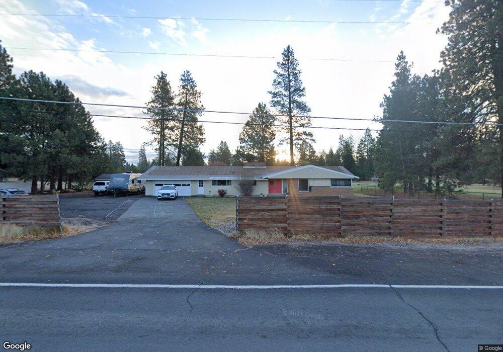
61022 Parrell Rd Bend, OR 97702
Southeast Bend NeighborhoodEstimated Value: $1,057,000 - $1,195,000
About This Home
This home is located at 61022 Parrell Rd, Bend, OR 97702 and is currently estimated at $1,123,728, approximately $576 per square foot. 61022 Parrell Rd is a home located in Deschutes County with nearby schools including R.E. Jewell Elementary School, High Desert Middle School, and Morning Star Christian School.
Ownership History
We collect this data history from publicly available records. To have your information removed, we recommend requesting removal directly through your county’s website.
Purchase Details
Purchase Details
Home Financials for this Owner
Home Financials are based on the most recent Mortgage that was taken out on this home.Purchase Details
Home Values in the Area
Average Home Value in this Area
Purchase History
We collect this data history from publicly available records. To have your information removed, we recommend requesting removal directly through your county’s website.
| Date | Buyer | Sale Price | Title Company |
|---|---|---|---|
| -- | None Listed On Document | ||
| $390,000 | First American Title | ||
| -- | None Available |
Mortgage History
We collect this data history from publicly available records. To have your information removed, we recommend requesting removal directly through your county’s website.
| Date | Status | Borrower | Loan Amount |
|---|---|---|---|
| Previous Owner | $380,290 |
Tax History
We collect this data history from publicly available records. To have your information removed, we recommend requesting removal directly through your county’s website.
| Year | Tax Paid | Tax Assessment Tax Assessment Total Assessment is a certain percentage of the fair market value that is determined by local assessors to be the total taxable value of land and additions on the property. | Land | Improvement |
|---|---|---|---|---|
| 2025 | $6,345 | $375,550 | -- | -- |
| 2024 | $6,105 | $364,620 | -- | -- |
| 2023 | $5,659 | $354,000 | $0 | $0 |
| 2022 | $5,280 | $333,680 | $0 | $0 |
| 2021 | $5,288 | $323,970 | $0 | $0 |
| 2020 | $5,017 | $323,970 | $0 | $0 |
| 2019 | $4,877 | $314,540 | $0 | $0 |
| 2018 | $4,739 | $305,380 | $0 | $0 |
| 2017 | $4,667 | $296,490 | $0 | $0 |
| 2016 | $4,453 | $287,860 | $0 | $0 |
| 2015 | $4,332 | $279,480 | $0 | $0 |
| 2014 | $4,206 | $271,340 | $0 | $0 |
Map
- 20176 Hawes Ln
- 20134 Carson Creek Ct
- 60999 Grand Targhee Dr
- 60908 Crested Butte Ln
- 0 Pinebrook Blvd Unit 220199740
- 60825 Grand Targhee Dr
- 61114 Deer Valley Dr
- 61216 Brittle Bush St
- 60807 Grand Targhee Dr
- 20316 Donkey Sled Rd
- 61181 Hitching Post Ln
- 20398 Aberdeen Dr
- 20165 Stonegate Dr
- 20252 Badger Rd
- 60785 Willow Creek Loop
- 20414 Murphy Rd
- 60320 Sage Stone Loop
- 19973 Double Tree Ct
- 19968 Double Tree Ct
- 61280 Parrell Rd Unit 10
- 61032 Parrell Rd
- 61026 Geary Dr
- 61030 Geary Dr
- 61034 Geary Dr
- 61038 Geary Dr
- 61042 Parrell Rd
- 61033 Geary Dr
- 20167 Veryl Ct
- 20175 Hawes Ln
- 61018 Geary Dr
- 61018 SE Geary Dr
- 61053 Geary Dr
- 20168 Veryl Ct
- 20164 Hawes Ln
- 61042 Geary Dr
- 61046 Geary Dr
- 20164 Veryl Ct
- 20163 Veryl Ct
- 61014 Geary Dr
- 61057 Geary Dr
Ask me questions while you tour the home.