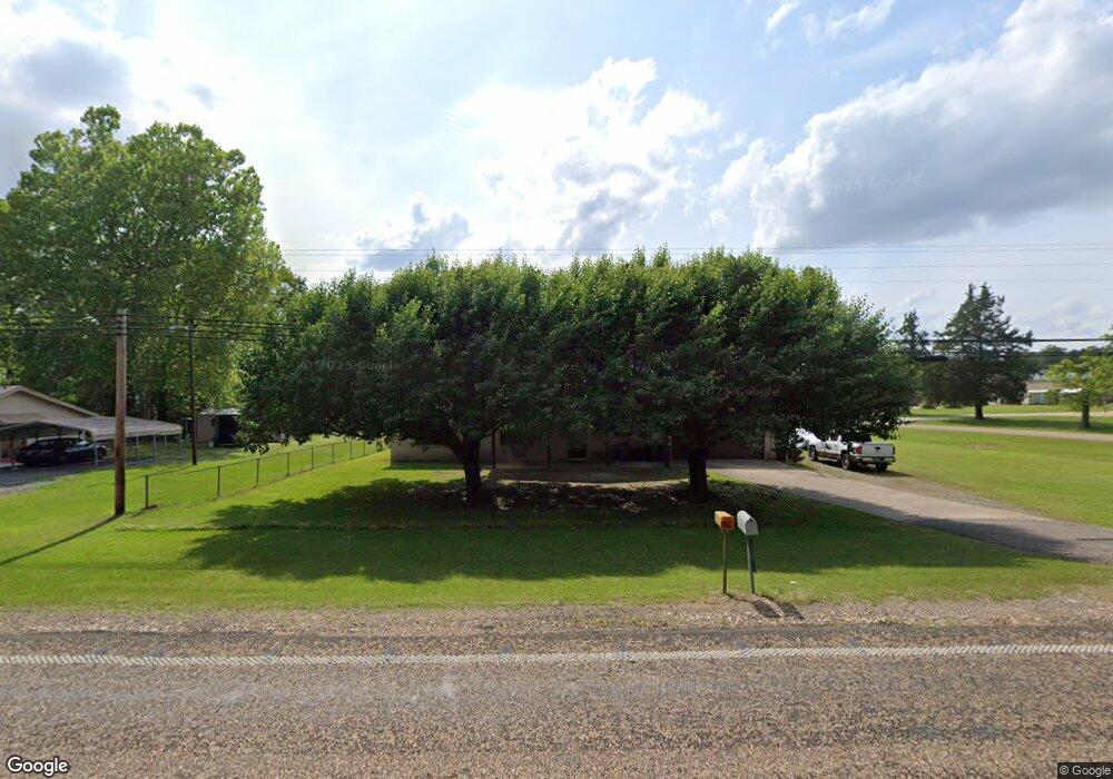
6105 Buchanan Loop Rd Texarkana, TX 75501
Estimated Value: $210,000 - $258,000
Studio
--
Bath
1,606
Sq Ft
$141/Sq Ft
Est. Value
About This Home
This home is located at 6105 Buchanan Loop Rd, Texarkana, TX 75501 and is currently estimated at $226,556, approximately $141 per square foot. 6105 Buchanan Loop Rd is a home located in Bowie County with nearby schools including Liberty-Eylau Early Childhood Center, Liberty-Eylau C.K. Bender Elementary Campus, and Liberty-Eylau Primary School.
Ownership History
Date
Name
Owned For
Owner Type
Purchase Details
Closed on
Jul 1, 2014
Sold by
Attebury Hilda Sue and Attebury Jimmy
Bought by
Mclain Martin S
Current Estimated Value
Home Financials for this Owner
Home Financials are based on the most recent Mortgage that was taken out on this home.
Original Mortgage
$115,350
Outstanding Balance
$82,039
Interest Rate
4.18%
Mortgage Type
Purchase Money Mortgage
Estimated Equity
$144,517
Create a Home Valuation Report for This Property
The Home Valuation Report is an in-depth analysis detailing your home's value as well as a comparison with similar homes in the area
Purchase History
| Date | Buyer | Sale Price | Title Company |
|---|---|---|---|
| Mclain Martin S | -- | None Available |
Source: Public Records
Mortgage History
| Date | Status | Borrower | Loan Amount |
|---|---|---|---|
| Open | Mclain Martin S | $115,350 |
Source: Public Records
Tax History
| Year | Tax Paid | Tax Assessment Tax Assessment Total Assessment is a certain percentage of the fair market value that is determined by local assessors to be the total taxable value of land and additions on the property. | Land | Improvement |
|---|---|---|---|---|
| 2025 | $724 | $189,599 | -- | -- |
| 2024 | $25 | $172,363 | $24,000 | $174,275 |
| 2023 | $2,341 | $156,694 | $0 | $0 |
| 2022 | $2,454 | $168,035 | $24,000 | $144,035 |
| 2021 | $2,373 | $129,499 | $16,500 | $112,999 |
| 2020 | $2,300 | $124,584 | $16,500 | $108,084 |
| 2019 | $2,329 | $119,907 | $16,500 | $103,407 |
| 2018 | $2,259 | $116,319 | $16,500 | $99,819 |
| 2017 | $2,237 | $115,629 | $16,500 | $99,129 |
| 2016 | $2,228 | $115,129 | $16,000 | $99,129 |
| 2015 | $2,333 | $125,462 | $16,000 | $109,462 |
| 2014 | $2,333 | $124,789 | $16,000 | $108,789 |
Source: Public Records
Map
Nearby Homes
- 38 W Starlite Dr
- 194 W Starlite Dr
- 280 Patriot Way
- 123 Lakeshore Dr
- 317 Maryland Dr
- Lot 8 River Bend
- 0 Elmwood Dr
- 103 Coke Dr
- 7689 Us-59
- 7685 U S 59
- 6606 Us-59
- 6466 Hwy 59 S
- 0 Randall Rd
- Lot 1 B2 Quail Brook
- 0 Cummings Ln Unit 203179
- 206 Fm 3244
- 6310 U S 59
- 6310 US Highway 59 S
- 0 Sherwood Acres Ln
- 169 Sherwood Acres Ln
- 6103 Buchanan Loop Rd
- 6201 Buchanan Loop Rd
- 88 W Starlite Dr
- 96 W Starlite Dr
- 6203 Buchanan Loop Rd
- 101 Starlite Dr
- 101 1/2 Starlite Dr
- 6205 Buchanan Loop Rd
- 45 Patriot Way
- 6007 Buchanan Loop Rd
- 103 Starlite Dr
- 102 Maryland Dr
- 101 W Starlite Dr
- 6006 Buchanan Loop Rd
- 104 Maryland Dr
- 6207 Buchanan Loop Rd
- 107 Starlite Dr
- 102 Starlite Dr
- 50 Patriot Way
- 106 Fairway St
Your Personal Tour Guide
Ask me questions while you tour the home.