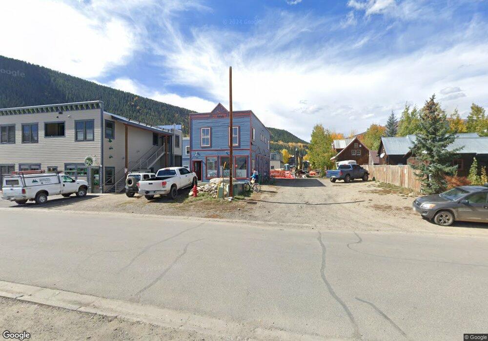
611 4th St Crested Butte, CO 81224
Estimated Value: $649,451
1
Bed
3
Baths
1,875
Sq Ft
$346/Sq Ft
Est. Value
About This Home
This home is located at 611 4th St, Crested Butte, CO 81224 and is currently estimated at $649,451, approximately $346 per square foot. 611 4th St is a home located in Gunnison County with nearby schools including Gunnison Elementary School, Crested Butte Community School, and Gunnison Middle School.
Ownership History
Date
Name
Owned For
Owner Type
Purchase Details
Closed on
Dec 22, 2023
Sold by
Evans Mitchell Jay
Bought by
611 4Th Llc
Current Estimated Value
Purchase Details
Closed on
Jul 27, 2011
Sold by
Elwell Mike
Bought by
Evans Mitchell Jay
Purchase Details
Closed on
Oct 26, 2006
Sold by
Evans Mitchell Jay
Bought by
Elwell Mike
Home Financials for this Owner
Home Financials are based on the most recent Mortgage that was taken out on this home.
Original Mortgage
$465,000
Interest Rate
5%
Mortgage Type
Seller Take Back
Create a Home Valuation Report for This Property
The Home Valuation Report is an in-depth analysis detailing your home's value as well as a comparison with similar homes in the area
Home Values in the Area
Average Home Value in this Area
Purchase History
| Date | Buyer | Sale Price | Title Company |
|---|---|---|---|
| 611 4Th Llc | $575,000 | Land Title | |
| Evans Mitchell Jay | -- | None Available | |
| Elwell Mike | $775,000 | None Available |
Source: Public Records
Mortgage History
| Date | Status | Borrower | Loan Amount |
|---|---|---|---|
| Previous Owner | Elwell Mike | $465,000 |
Source: Public Records
Tax History
| Year | Tax Paid | Tax Assessment Tax Assessment Total Assessment is a certain percentage of the fair market value that is determined by local assessors to be the total taxable value of land and additions on the property. | Land | Improvement |
|---|---|---|---|---|
| 2025 | $7,025 | $97,560 | $24,720 | $72,840 |
| 2024 | $7,025 | $84,930 | $21,950 | $62,980 |
| 2023 | $5,136 | $72,870 | $21,550 | $51,320 |
| 2022 | $4,899 | $62,500 | $12,560 | $49,940 |
| 2021 | $4,351 | $63,070 | $12,610 | $50,460 |
| 2020 | $5,568 | $81,460 | $13,590 | $67,870 |
| 2019 | $5,455 | $81,460 | $13,590 | $67,870 |
| 2018 | $4,900 | $70,680 | $13,210 | $57,470 |
| 2016 | $3,485 | $52,510 | $12,100 | $40,410 |
| 2015 | -- | $52,510 | $12,100 | $40,410 |
| 2014 | -- | $67,640 | $17,210 | $50,430 |
Source: Public Records
Map
Nearby Homes
- 602 & 604 Fourth St
- 309 Belleview #2-A Residential Unit 2-A
- 309 Belleview #2-B Residential Unit 2-B
- 309 Belleview #2-C Residential Unit 2-C
- 308 Whiterock Ave
- 429 Whiterock Ave
- 418 Elk Ave
- 398 Journey's End Rd
- 315 Elk Ave
- 218 Maroon Ave Unit E
- 310 2nd St
- 304 2nd St
- 422 Belleview Ave
- 28 Whiterock Ave Unit 2
- 3 Beckwith Ave
- 17 Elk Ave
- 520 Teocalli Ave
- 416/418 Teocalli Ave
- 31 Gothic Ave
- TBD Butte Ave
- 611 Fourth St
- 329 Belleview Ave
- 330 Whiterock Ave
- 324 & 324. Whiterock
- 4TH Street St
- 325 Belleview
- 618 4th St
- 319 Belleview Ave
- 602 4th St
- 315 Belleview 2b & 2c
- 320 Whiterock Ave
- 408 Whiterock Ave
- 0 Belleview 2b Ave Unit 2B 735999
- 315 2c & 2b Belleview Ave
- 0 Belleview 2b & 2c Ave Unit 13378
- 315 Belleview Unit B
- 315 Belleview Unit 2B
- 315 Belleview Ave Unit 2B
- 315 Belleview Unit 2C
- 315 Belleview Ave Unit D
Your Personal Tour Guide
Ask me questions while you tour the home.