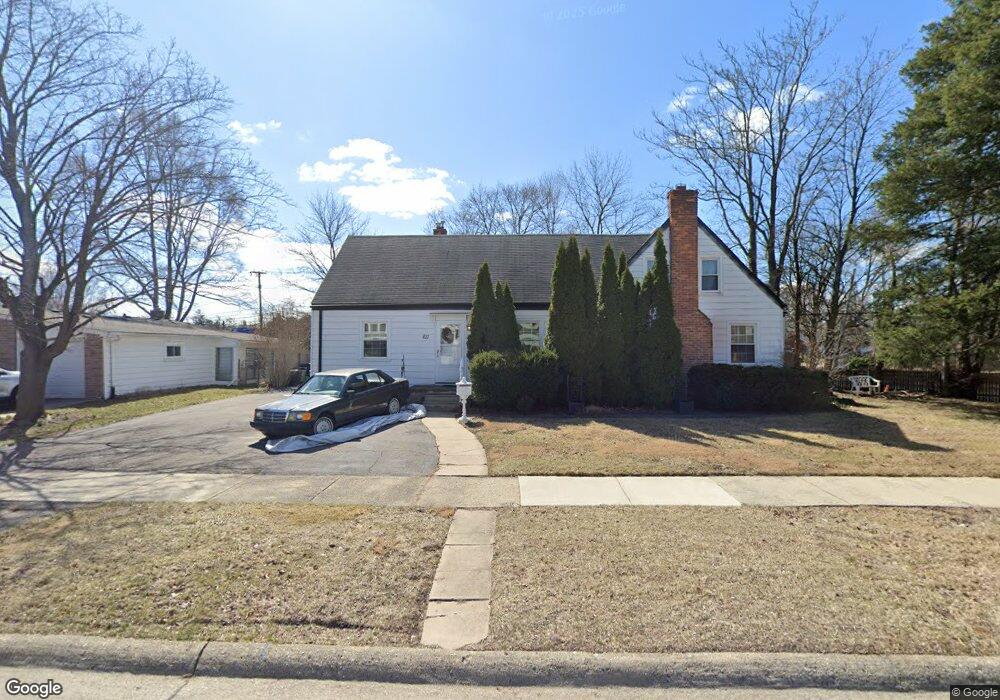
611 Cherry Ave Royal Oak, MI 48073
Estimated Value: $352,000 - $500,000
3
Beds
2
Baths
1,592
Sq Ft
$251/Sq Ft
Est. Value
About This Home
This home is located at 611 Cherry Ave, Royal Oak, MI 48073 and is currently estimated at $398,944, approximately $250 per square foot. 611 Cherry Ave is a home located in Oakland County with nearby schools including Northwood Elementary School, Royal Oak Middle School, and Royal Oak High School.
Ownership History
Date
Name
Owned For
Owner Type
Purchase Details
Closed on
Feb 11, 2010
Sold by
Dunleavy Ryan and Dunleavy Denise
Bought by
Newman Lisa A
Current Estimated Value
Home Financials for this Owner
Home Financials are based on the most recent Mortgage that was taken out on this home.
Original Mortgage
$78,551
Outstanding Balance
$52,046
Interest Rate
5.37%
Mortgage Type
FHA
Estimated Equity
$346,898
Purchase Details
Closed on
Jun 10, 2003
Sold by
Bunting Patrick G
Bought by
Dunleavy Ryan
Purchase Details
Closed on
Apr 30, 2001
Sold by
Karamon Rodney
Bought by
Bunting Patrick
Home Financials for this Owner
Home Financials are based on the most recent Mortgage that was taken out on this home.
Original Mortgage
$163,400
Interest Rate
7.18%
Create a Home Valuation Report for This Property
The Home Valuation Report is an in-depth analysis detailing your home's value as well as a comparison with similar homes in the area
Home Values in the Area
Average Home Value in this Area
Purchase History
We collect this data history from publicly available records. To have your information removed, we recommend requesting removal directly through your county’s website.
| Date | Buyer | Sale Price | Title Company |
|---|---|---|---|
| Newman Lisa A | $80,000 | Multiple | |
| Dunleavy Ryan | -- | Philip R Seaver Title Co Inc | |
| Bunting Patrick | $172,000 | -- |
Source: Public Records
Mortgage History
We collect this data history from publicly available records. To have your information removed, we recommend requesting removal directly through your county’s website.
| Date | Status | Borrower | Loan Amount |
|---|---|---|---|
| Open | Newman Lisa A | $78,551 | |
| Previous Owner | Bunting Patrick | $163,400 |
Source: Public Records
Tax History
| Year | Tax Paid | Tax Assessment Tax Assessment Total Assessment is a certain percentage of the fair market value that is determined by local assessors to be the total taxable value of land and additions on the property. | Land | Improvement |
|---|---|---|---|---|
| 2025 | $3,889 | $167,700 | $0 | $0 |
| 2024 | $3,084 | $171,380 | $0 | $0 |
| 2022 | $3,516 | $150,320 | $0 | $0 |
| 2020 | $2,987 | $136,980 | $0 | $0 |
| 2018 | $3,516 | $109,780 | $0 | $0 |
| 2017 | $3,298 | $109,780 | $0 | $0 |
| 2015 | -- | $91,810 | $0 | $0 |
| 2014 | -- | $89,220 | $0 | $0 |
| 2011 | -- | $89,370 | $0 | $0 |
Source: Public Records
Map
Nearby Homes
- 1633 Edgewood Dr
- 406 W 12 Mile Rd
- 1837 N Washington Ave
- 1012 W 12 Mile Rd
- 215 La Plaza Ct
- 115 W Houstonia Ave
- 817 Magnolia Ave
- 2041 N Main St
- 127 La Plaza Ct
- 602 Magnolia Ave
- 2103 N Main St
- 2135 Vinsetta Blvd
- 1136 Murdock Ave
- 1721 Forestdale Ct
- 1028 Edgewood Dr
- 1231 Woodsboro Dr
- 1223 Greenleaf Dr
- 1319 Woodsboro Dr
- 1421 Lloyd Ave
- 926 Catalpa Dr
Your Personal Tour Guide
Ask me questions while you tour the home.