611 NW 105th Rd Centerview, MO 64019
Estimated Value: $291,030 - $475,000
Studio
--
Bath
2,295
Sq Ft
$167/Sq Ft
Est. Value
About This Home
This home is located at 611 NW 105th Rd, Centerview, MO 64019 and is currently estimated at $383,010, approximately $166 per square foot. 611 NW 105th Rd is a home located in Johnson County with nearby schools including Crest Ridge Elementary School, Crest Ridge High School, and Johnson County Christian Academy.
Ownership History
Date
Name
Owned For
Owner Type
Purchase Details
Closed on
Jun 28, 2019
Sold by
Laurine Lawrence David and Laurine Jeanne F
Bought by
Renick Starcy and Renick Danny R
Current Estimated Value
Home Financials for this Owner
Home Financials are based on the most recent Mortgage that was taken out on this home.
Original Mortgage
$125,501
Outstanding Balance
$109,189
Interest Rate
4%
Mortgage Type
Commercial
Estimated Equity
$273,821
Create a Home Valuation Report for This Property
The Home Valuation Report is an in-depth analysis detailing your home's value as well as a comparison with similar homes in the area
Purchase History
We collect this data history from publicly available records. To have your information removed, we recommend requesting removal directly through your county’s website.
| Date | Buyer | Sale Price | Title Company |
|---|---|---|---|
| Renick Starcy | -- | Western Missouri Title Co |
Source: Public Records
Mortgage History
We collect this data history from publicly available records. To have your information removed, we recommend requesting removal directly through your county’s website.
| Date | Status | Borrower | Loan Amount |
|---|---|---|---|
| Open | Renick Starcy | $125,501 |
Source: Public Records
Tax History
| Year | Tax Paid | Tax Assessment Tax Assessment Total Assessment is a certain percentage of the fair market value that is determined by local assessors to be the total taxable value of land and additions on the property. | Land | Improvement |
|---|---|---|---|---|
| 2025 | $1,676 | $24,187 | $0 | $0 |
| 2024 | $1,676 | $22,141 | $0 | $0 |
| 2023 | $1,564 | $22,141 | $0 | $0 |
| 2022 | $1,516 | $21,196 | $0 | $0 |
| 2021 | $1,506 | $21,196 | $0 | $0 |
| 2020 | $1,451 | $20,252 | $0 | $0 |
| 2019 | $1,419 | $20,252 | $0 | $0 |
| 2017 | $1,321 | $20,062 | $0 | $0 |
| 2016 | $1,320 | $20,062 | $0 | $0 |
| 2015 | $1,311 | $19,929 | $0 | $0 |
| 2014 | $1,310 | $20,062 | $0 | $0 |
Source: Public Records
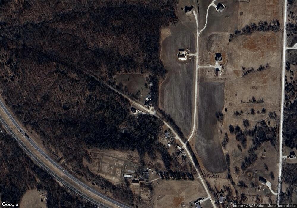
Map
Nearby Homes
- 507 NW 165th Rd
- 786 NW 100th Rd
- 10 SW 491st Rd
- TBD Lot 7 491st Rd
- 0 Tbd Lot 2 491st Rd
- 214 NW 361st Rd
- 214 NW 361 Rd
- 000 SW 100th Rd
- 64 SW 401st Rd
- 52 401st (North 65) Rd
- 65 SW 150th Rd
- 66 SW 150th Rd
- 79 NW 271st Rd
- 221 NW 200th Rd
- 131 NW 191st Rd
- 124 NW 171 Rd
- 220 NW 200th Rd
- 962 NW 445 Rd
- 127.35 Acres NW 200th Rd
- 281 SW 200th Rd
- 602 NW 105th Rd
- 124 NW 611th Rd
- 135 NW 611th Rd
- 147 NW 611th Rd
- 596 NW 105th Rd
- 148 NW 611th Rd
- 148 NW 611th Rd
- 588 NW 105th Rd
- 592 NW 105th Rd
- 592 NW 105 Rd
- 147 NW 611th Rd
- 242 NW 1051 Rd
- Lot 1 NW 451 Rd
- Lot 24 NW Division Rd
- Lot 11 NW 451st Rd
- Lot 1 50 Hwy Industrial Pk N A
- Tr 28 NW 445 Rd
- TBD SW Lot Two 58 Hwy
- TBD SW Lot One 58 Hwy
- xxx NW 50 Hwy
Your Personal Tour Guide
Ask me questions while you tour the home.