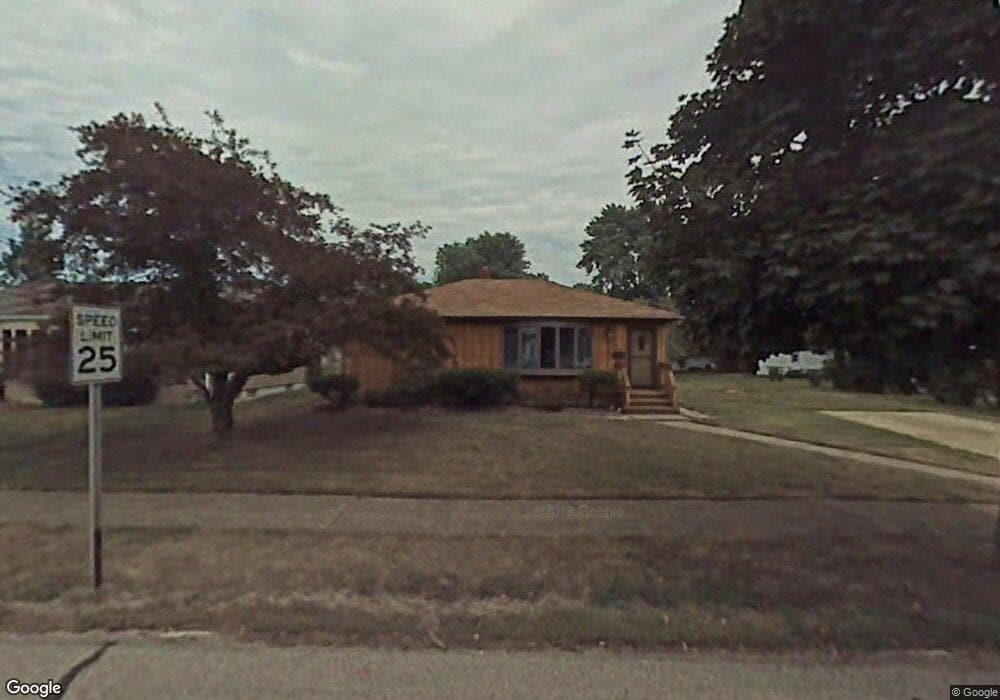
6113 Morrow Dr Brookpark, OH 44142
Estimated Value: $199,076 - $232,000
3
Beds
1
Bath
936
Sq Ft
$233/Sq Ft
Est. Value
About This Home
This home is located at 6113 Morrow Dr, Brookpark, OH 44142 and is currently estimated at $217,769, approximately $232 per square foot. 6113 Morrow Dr is a home located in Cuyahoga County with nearby schools including Berea-Midpark Middle School, Berea-Midpark High School, and Huber Heights Preparatory Academy Parma Academy.
Ownership History
Date
Name
Owned For
Owner Type
Purchase Details
Closed on
Jun 29, 2009
Sold by
Bird Deborah A and Lezak Gail A
Bought by
Bird Thomas J
Current Estimated Value
Home Financials for this Owner
Home Financials are based on the most recent Mortgage that was taken out on this home.
Original Mortgage
$64,000
Outstanding Balance
$39,888
Interest Rate
4.92%
Mortgage Type
New Conventional
Estimated Equity
$177,881
Purchase Details
Closed on
Jun 29, 1999
Sold by
Estate Of Eileen Bird
Bought by
Bird Richard H
Purchase Details
Closed on
Jan 1, 1975
Bought by
Bird Richard H and Bird Eileen
Create a Home Valuation Report for This Property
The Home Valuation Report is an in-depth analysis detailing your home's value as well as a comparison with similar homes in the area
Home Values in the Area
Average Home Value in this Area
Purchase History
We collect this data history from publicly available records. To have your information removed, we recommend requesting removal directly through your county’s website.
| Date | Buyer | Sale Price | Title Company |
|---|---|---|---|
| Bird Thomas J | $80,000 | Attorney | |
| Bird Richard H | -- | -- | |
| Bird Richard H | -- | -- |
Source: Public Records
Mortgage History
We collect this data history from publicly available records. To have your information removed, we recommend requesting removal directly through your county’s website.
| Date | Status | Borrower | Loan Amount |
|---|---|---|---|
| Open | Bird Thomas J | $64,000 |
Source: Public Records
Tax History
| Year | Tax Paid | Tax Assessment Tax Assessment Total Assessment is a certain percentage of the fair market value that is determined by local assessors to be the total taxable value of land and additions on the property. | Land | Improvement |
|---|---|---|---|---|
| 2025 | $3,098 | $60,445 | $16,765 | $43,680 |
| 2024 | $3,116 | $60,445 | $16,765 | $43,680 |
| 2023 | $2,931 | $47,080 | $12,220 | $34,860 |
| 2022 | $2,911 | $47,080 | $12,220 | $34,860 |
| 2021 | $2,896 | $47,080 | $12,220 | $34,860 |
| 2020 | $2,586 | $37,000 | $9,700 | $27,300 |
| 2019 | $2,511 | $105,700 | $27,700 | $78,000 |
| 2018 | $2,360 | $37,000 | $9,700 | $27,300 |
| 2017 | $2,400 | $32,800 | $9,100 | $23,700 |
| 2016 | $2,381 | $32,800 | $9,100 | $23,700 |
| 2015 | $2,238 | $32,800 | $9,100 | $23,700 |
| 2014 | $2,238 | $32,800 | $9,100 | $23,700 |
Source: Public Records
Map
Nearby Homes
- 6115 Morrow Dr
- 14122 Donald Dr
- 5884 Michael Dr
- 5882 Middlebrook Blvd
- 14316 Parkman Blvd
- 14306 Parkman Blvd
- 15424 Holland Rd
- 13665 Starlite Dr
- 15425 Richard Dr
- 5653 Gateway Ln Unit C303
- 15460 Rademaker Dr
- 6379 Edgehurst Dr
- 6377 Ledgebrook Dr
- 6447 Sandfield Dr
- 15497 Hummel Rd
- 6525 Sandfield Dr
- 13467 Belfair Dr
- 6252 Anita Dr
- 15450 Roxboro Dr
- 15504 Roxboro Dr
- 6118 Michael Dr
- 6116 Michael Dr
- 6107 Morrow Dr
- 6114 Michael Dr
- 14571 Sylvia Dr
- 14545 Sylvia Dr
- 6112 Michael Dr
- 14595 Sylvia Dr
- 6101 Morrow Dr
- 6112 Morrow Dr
- 6106 Michael Dr
- 6130 Michael Dr
- 14615 Sylvia Dr
- 6106 Morrow Dr
- 6095 Morrow Dr
- 6100 Michael Dr
- 6100 Morrow Dr
- 14570 Greystone Dr
- 6140 Michael Dr
- 14594 Greystone Dr
Your Personal Tour Guide
Ask me questions while you tour the home.