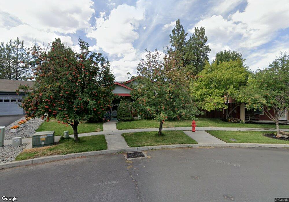
61157 Larkspur Loop Bend, OR 97702
Old Farm District NeighborhoodEstimated Value: $501,000 - $606,009
3
Beds
2
Baths
1,472
Sq Ft
$377/Sq Ft
Est. Value
About This Home
This home is located at 61157 Larkspur Loop, Bend, OR 97702 and is currently estimated at $554,252, approximately $376 per square foot. 61157 Larkspur Loop is a home located in Deschutes County with nearby schools including R.E. Jewell Elementary School, High Desert Middle School, and Deschutes River Montessori School.
Ownership History
Date
Name
Owned For
Owner Type
Purchase Details
Closed on
Aug 8, 2012
Sold by
Gatewood Rachelle and Cotton Rachelle L
Bought by
Cotton Brian L
Current Estimated Value
Purchase Details
Closed on
Jul 7, 2004
Sold by
Maniscalco Jason M
Bought by
Cotton Brian L and Cotton Rachelle L
Home Financials for this Owner
Home Financials are based on the most recent Mortgage that was taken out on this home.
Original Mortgage
$149,250
Outstanding Balance
$71,733
Interest Rate
5.75%
Mortgage Type
Unknown
Estimated Equity
$482,519
Create a Home Valuation Report for This Property
The Home Valuation Report is an in-depth analysis detailing your home's value as well as a comparison with similar homes in the area
Home Values in the Area
Average Home Value in this Area
Purchase History
| Date | Buyer | Sale Price | Title Company |
|---|---|---|---|
| Cotton Brian L | -- | First American Title | |
| Cotton Brian L | $186,600 | Amerititle |
Source: Public Records
Mortgage History
| Date | Status | Borrower | Loan Amount |
|---|---|---|---|
| Open | Cotton Brian L | $149,250 | |
| Closed | Cotton Brian L | $18,600 |
Source: Public Records
Tax History
| Year | Tax Paid | Tax Assessment Tax Assessment Total Assessment is a certain percentage of the fair market value that is determined by local assessors to be the total taxable value of land and additions on the property. | Land | Improvement |
|---|---|---|---|---|
| 2025 | $3,730 | $220,730 | -- | -- |
| 2024 | $3,588 | $214,310 | -- | -- |
| 2023 | $3,326 | $208,070 | $0 | $0 |
| 2022 | $3,103 | $196,130 | $0 | $0 |
| 2021 | $3,108 | $190,420 | $0 | $0 |
| 2020 | $2,949 | $190,420 | $0 | $0 |
| 2019 | $2,532 | $163,300 | $0 | $0 |
| 2018 | $2,461 | $158,550 | $0 | $0 |
| 2017 | $2,389 | $153,940 | $0 | $0 |
| 2016 | $2,278 | $149,460 | $0 | $0 |
| 2015 | $2,215 | $145,110 | $0 | $0 |
| 2014 | $2,150 | $140,890 | $0 | $0 |
Source: Public Records
Map
Nearby Homes
- 20627 White Dove Ln
- 20596 Button Brush Ave
- 20606 Songbird Ln
- 61142 Brookhollow Dr
- 20688 White Dove Ln
- 61209 Dayspring Dr
- 20657 Wild Goose Ln
- 20640 SE Cougar Peak Dr
- 61089 SE Echo Lake Ct
- 60069 SE Ruby Peak Loop
- 61166 SE Berkshire Way Unit Lot 107
- 61170 SE Berkshire Way Unit Lot 108
- 20505 Aberdeen Dr
- 20580 Klahani Dr
- 20622 SE Boer Place SE Unit Lot 115
- 20615 SE Boer Place SE Unit Lot 130
- 20509 SE Dorset Place Unit 98
- 61189 SE Wagyu Dr
- 61185 SE Wagyu Dr Unit Lot 126
- 61177 SE Wagyu Dr Unit Lot 124
- 61153 Larkspur Loop
- 20609 White Dove Ln
- 0 Brosterhous Rd Unit 2705245
- 61131 Brosterhous Rd
- 6 Brosterhous Rd
- 15 Brosterhous Rd
- 14 Brosterhous Rd
- 13 Brosterhous Rd
- 12 Brosterhous Rd
- 9 Brosterhous Rd
- 3 Brosterhous Rd
- 5 Brosterhous Rd
- 4 Brosterhous Rd
- 36 Brosterhous Rd
- 35 Brosterhous Rd
- 34 Brosterhous Rd
- 33 Brosterhous Rd
- 30 Brosterhous Rd
- 25 Brosterhous Rd
- 7 Brosterhous Rd
Your Personal Tour Guide
Ask me questions while you tour the home.