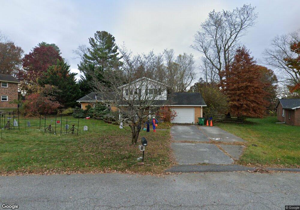
612 Watson Ln Blacksburg, VA 24060
McBryde NeighborhoodEstimated Value: $401,000 - $431,000
3
Beds
3
Baths
1,737
Sq Ft
$238/Sq Ft
Est. Value
About This Home
This home is located at 612 Watson Ln, Blacksburg, VA 24060 and is currently estimated at $414,077, approximately $238 per square foot. 612 Watson Ln is a home located in Montgomery County with nearby schools including Gilbert Linkous Elementary School, Blacksburg Middle School, and Blacksburg High School.
Ownership History
Date
Name
Owned For
Owner Type
Purchase Details
Closed on
May 3, 2019
Sold by
Little Erin E
Bought by
Snuffer Dietrich D
Current Estimated Value
Home Financials for this Owner
Home Financials are based on the most recent Mortgage that was taken out on this home.
Original Mortgage
$220,000
Outstanding Balance
$190,994
Interest Rate
4%
Mortgage Type
New Conventional
Estimated Equity
$223,083
Purchase Details
Closed on
Aug 29, 2008
Create a Home Valuation Report for This Property
The Home Valuation Report is an in-depth analysis detailing your home's value as well as a comparison with similar homes in the area
Home Values in the Area
Average Home Value in this Area
Purchase History
| Date | Buyer | Sale Price | Title Company |
|---|---|---|---|
| Snuffer Dietrich D | -- | Brooks Title & Escrow Llc | |
| -- | $280,000 | -- |
Source: Public Records
Mortgage History
| Date | Status | Borrower | Loan Amount |
|---|---|---|---|
| Open | Snuffer Dietrich D | $220,000 |
Source: Public Records
Tax History
| Year | Tax Paid | Tax Assessment Tax Assessment Total Assessment is a certain percentage of the fair market value that is determined by local assessors to be the total taxable value of land and additions on the property. | Land | Improvement |
|---|---|---|---|---|
| 2025 | $2,610 | $343,400 | $106,300 | $237,100 |
| 2024 | $2,576 | $343,400 | $106,300 | $237,100 |
| 2023 | $2,404 | $343,400 | $106,300 | $237,100 |
| 2022 | $2,117 | $237,900 | $62,000 | $175,900 |
| 2021 | $2,117 | $237,900 | $62,000 | $175,900 |
| 2020 | $2,117 | $237,900 | $62,000 | $175,900 |
| 2019 | $2,117 | $237,900 | $62,000 | $175,900 |
| 2018 | $1,964 | $220,700 | $62,000 | $158,700 |
| 2017 | $1,964 | $220,700 | $62,000 | $158,700 |
| 2016 | $1,964 | $220,700 | $62,000 | $158,700 |
| 2015 | $1,964 | $220,700 | $62,000 | $158,700 |
| 2014 | $1,982 | $222,700 | $62,000 | $160,700 |
Source: Public Records
Map
Nearby Homes
- 509 Stonegate Dr
- 1008 Mcbryde Ln
- 1000 Progress St NW
- TBD Brockton None
- 507 Sunridge Dr
- 103 Broce Dr
- 820 Cascade Ct
- 1509 Poplar Ridge Cir
- 1209 University Terrace
- 406 Laurence Ln
- 1801 Toms Creek Rd
- 1698 Honeysuckle Dr
- 1708 Trillium Ln
- 400 Lucas Dr
- 403 Lucas Dr
- 902 Giles Rd
- 706 Village Way N
- 206 Wilson Ave
- 208 Heights Ln
- 1110 Brook Cir
Your Personal Tour Guide
Ask me questions while you tour the home.