6124 Weant Rd High Point, NC 27263
Estimated Value: $298,000 - $343,000
About This Home
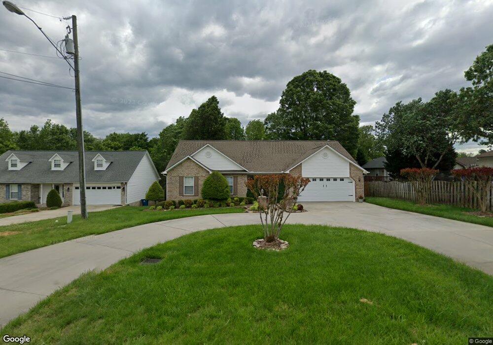
This home is located at 6124 Weant Rd, High Point, NC 27263 and is currently estimated at $315,862, approximately $208 per square foot. 6124 Weant Rd is a home located in Randolph County with nearby schools including John R. Lawrence Elementary School, Wheatmore Middle School, and Trinity High School.
Ownership History
We collect this data history from publicly available records. To have your information removed, we recommend requesting removal directly through your county’s website.
Purchase Details
Home Financials for this Owner
Home Financials are based on the most recent Mortgage that was taken out on this home.Home Values in the Area
Average Home Value in this Area
Purchase History
We collect this data history from publicly available records. To have your information removed, we recommend requesting removal directly through your county’s website.
| Date | Buyer | Sale Price | Title Company |
|---|---|---|---|
| $135,000 | -- |
Mortgage History
We collect this data history from publicly available records. To have your information removed, we recommend requesting removal directly through your county’s website.
| Date | Status | Borrower | Loan Amount |
|---|---|---|---|
| Open | $108,000 |
Tax History
We collect this data history from publicly available records. To have your information removed, we recommend requesting removal directly through your county’s website.
| Year | Tax Paid | Tax Assessment Tax Assessment Total Assessment is a certain percentage of the fair market value that is determined by local assessors to be the total taxable value of land and additions on the property. | Land | Improvement |
|---|---|---|---|---|
| 2025 | $2,462 | $236,170 | $54,780 | $181,390 |
| 2024 | $2,438 | $236,170 | $54,780 | $181,390 |
| 2023 | $2,438 | $236,170 | $54,780 | $181,390 |
| 2022 | $1,854 | $156,050 | $26,290 | $129,760 |
| 2021 | $1,854 | $156,050 | $26,290 | $129,760 |
| 2020 | $1,812 | $156,050 | $26,290 | $129,760 |
| 2019 | $1,812 | $156,050 | $26,290 | $129,760 |
| 2018 | $1,548 | $130,000 | $26,290 | $103,710 |
| 2016 | $1,517 | $130,001 | $26,290 | $103,711 |
| 2015 | $1,517 | $130,001 | $26,290 | $103,711 |
| 2014 | -- | $130,001 | $26,290 | $103,711 |
Map
- 106 Mae Matilda Ct
- 400 Belgian Dr
- 100 Lindsay Dr
- 0 Suits Rd
- 0-C Us Highway 311
- 9622 Us Highway 311
- 108 Sprucewood Ct
- 0 Sprucewood Ct
- 9530 US Highway 311
- 5637 Trotter Country Rd
- 0-A Us Highway 311
- 100 Linda Dr
- 0-B Us Highway 311
- 4375 Huff Rd
- 1009 Bradford Ln
- 9256 Us Highway 311
- 223 Aldridge Ln
- 3738 Amber Way
- 118 Rand Blvd
- 117 Ridge Landing Rd
- 103 Preston Ct
- 101 Preston Ct
- 105 Preston Ct
- 107 Preston Ct
- 6132 Weant Rd
- 104 Preston Ct
- 102 Preston Ct
- 108 Preston Ct
- 200 Powell Way
- 106 Preston Ct
- 110 Preston Ct
- 405 Center Pointe Ct
- 409 Center Pointe Ct
- 401 Center Pointe Ct
- 202 Powell Way
- 6127 Weant Rd
- 6086 Weant Rd
- 6093 Weant Rd
- 6135 Weant Rd
- 3287 Wood Ave
Ask me questions while you tour the home.