61266 SW Brookside Loop Bend, OR 97702
Century West NeighborhoodEstimated Value: $787,479 - $876,000
About This Home
This home is located at 61266 SW Brookside Loop, Bend, OR 97702 and is currently estimated at $838,370, approximately $430 per square foot. 61266 SW Brookside Loop is a home located in Deschutes County with nearby schools including William E. Miller Elementary School, Cascade Middle School, and Summit High School.
Ownership History
We collect this data history from publicly available records. To have your information removed, we recommend requesting removal directly through your county’s website.
Purchase Details
Purchase Details
Home Financials for this Owner
Home Financials are based on the most recent Mortgage that was taken out on this home.Purchase Details
Home Financials for this Owner
Home Financials are based on the most recent Mortgage that was taken out on this home.Home Values in the Area
Average Home Value in this Area
Purchase History
We collect this data history from publicly available records. To have your information removed, we recommend requesting removal directly through your county’s website.
| Date | Buyer | Sale Price | Title Company |
|---|---|---|---|
| -- | None Listed On Document | ||
| $725,000 | First American Title | ||
| -- | Accommodation |
Mortgage History
We collect this data history from publicly available records. To have your information removed, we recommend requesting removal directly through your county’s website.
| Date | Status | Borrower | Loan Amount |
|---|---|---|---|
| Previous Owner | $125,000 | ||
| Previous Owner | $188,400 |
Tax History
We collect this data history from publicly available records. To have your information removed, we recommend requesting removal directly through your county’s website.
| Year | Tax Paid | Tax Assessment Tax Assessment Total Assessment is a certain percentage of the fair market value that is determined by local assessors to be the total taxable value of land and additions on the property. | Land | Improvement |
|---|---|---|---|---|
| 2025 | $4,940 | $292,380 | -- | -- |
| 2024 | $4,753 | $283,870 | -- | -- |
| 2023 | $4,406 | $275,610 | $0 | $0 |
| 2022 | $4,111 | $259,800 | $0 | $0 |
| 2021 | $4,117 | $252,240 | $0 | $0 |
| 2020 | $3,906 | $252,240 | $0 | $0 |
| 2019 | $3,797 | $244,900 | $0 | $0 |
| 2018 | $3,690 | $237,770 | $0 | $0 |
| 2017 | $3,648 | $230,850 | $0 | $0 |
| 2016 | $3,482 | $224,130 | $0 | $0 |
| 2015 | $3,388 | $217,610 | $0 | $0 |
| 2014 | $3,290 | $211,280 | $0 | $0 |
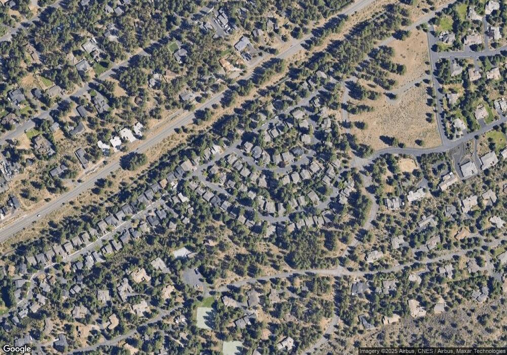
Map
- 19504 SW Century Dr
- 19479 W Campbell Rd
- 19476 SW Century Dr Unit 1 & 2
- 19536 E Campbell Rd
- 19546 E Campbell Rd
- 19635 Clear Night Dr
- 19377 Brookside Way
- 61422 Meeks Trail
- 61464 Meeks Trail
- 61354 Lost Hollow Loop
- 61156 Foxglove Loop
- 19530 Hollygrape St
- 61148 Foxglove Loop
- 61475 Meeks Trail
- 61388 Big Eddy Cir
- 19301 Alianna Loop
- 0 Outrider Loop Unit 32 220195539
- 19672 Winter Wren Loop
- 61358 Kindle Rock Loop
- 61250 Meeks Trail
- 19512 Meadowbrook Dr
- 19508 Meadowbrook Dr
- 19522 Meadowbrook Dr
- 19522 SW Meadowbrook Dr
- 61258 SW Brookside Loop
- 61262 SW Brookside Loop
- 19504 Meadowbrook Dr
- 19526 Meadowbrook Dr
- 61254 SW Brookside Loop
- 19513 SW Meadowbrook
- 19513 Meadowbrook Dr
- 19517 Meadowbrook Dr
- 19509 Meadowbrook Dr
- 19523 Meadowbrook Dr
- 19505 Meadowbrook Dr
- 61270 SW Brookside Loop
- 19530 Meadowbrook Dr
- 19527 Meadowbrook Dr
- 19534 Brookside Way
- 19538 Brookside Way
Ask me questions while you tour the home.