613 Bunker Rd Sutherlin, OR 97479
Estimated Value: $93,871 - $426,000
About This Home
This home is located at 613 Bunker Rd, Sutherlin, OR 97479 and is currently estimated at $193,718. 613 Bunker Rd is a home located in Douglas County with nearby schools including East Sutherlin Primary School, West Sutherlin Intermediate School, and Sutherlin Middle School.
Ownership History
We collect this data history from publicly available records. To have your information removed, we recommend requesting removal directly through your county’s website.
Purchase Details
Purchase Details
Purchase Details
Home Values in the Area
Average Home Value in this Area
Purchase History
We collect this data history from publicly available records. To have your information removed, we recommend requesting removal directly through your county’s website.
| Date | Buyer | Sale Price | Title Company |
|---|---|---|---|
| -- | None Listed On Document | ||
| -- | None Available | ||
| $60,000 | None Available |
Tax History
We collect this data history from publicly available records. To have your information removed, we recommend requesting removal directly through your county’s website.
| Year | Tax Paid | Tax Assessment Tax Assessment Total Assessment is a certain percentage of the fair market value that is determined by local assessors to be the total taxable value of land and additions on the property. | Land | Improvement |
|---|---|---|---|---|
| 2025 | $1,215 | $102,317 | $102,317 | -- |
| 2024 | $1,188 | $99,337 | $99,337 | -- |
| 2023 | $1,005 | $84,000 | $84,000 | $0 |
| 2022 | $1,155 | $96,444 | $0 | $0 |
| 2021 | $1,006 | $84,000 | $0 | $0 |
| 2020 | $953 | $80,000 | $0 | $0 |
| 2019 | $1,122 | $93,635 | $0 | $0 |
| 2018 | $1,089 | $90,908 | $0 | $0 |
| 2017 | $949 | $75,460 | $0 | $0 |
| 2016 | $949 | $75,460 | $0 | $0 |
| 2015 | $1,116 | $88,261 | $0 | $0 |
| 2014 | $1,083 | $85,691 | $0 | $0 |
| 2013 | -- | $83,196 | $0 | $0 |
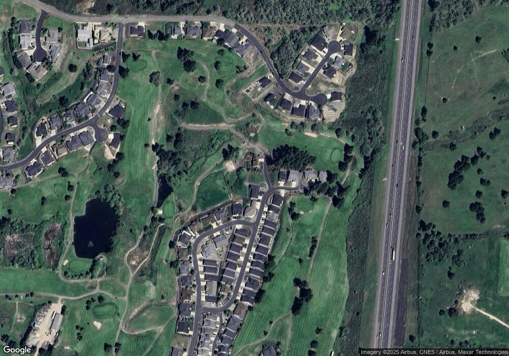
Map
- 582 Fairway Estates Dr
- 1716 Scardi Blvd Unit 174
- 725 Slazenger Ct
- 842 Parkway Ave Unit Lot 17
- 420 Backwater Loop
- 916 Fonner St Unit Lot 37
- 941 Sand Pines Ave
- 925 Sand Pines Ave
- 832 Sand Pines Ave
- 888 Medina Ave
- 784 Pebble Creek St
- 836 Durham Ave
- 170 Addison Ave
- 879 Pebble Crk St
- 1688 W Central Ave
- 181 SW Hutchins St
- 2273 Eagle Loop
- 910 Swallow Ave
- 1909 W Duke Rd
- 162 Kruse St
- 623 Bunker Rd
- 618 Bunker Rd
- 627 Wildcat Canyon Rd
- 604 Wildcat Canyon Rd Unit 60
- 604 Wildcat Canyon Rd
- 591 Wildcat Canyon Rd
- 583 Fairway Estates Dr
- 602 Wildcat Canyon Rd Unit 59
- 602 Wildcat Canyon Rd
- 633 Wildcat Canyon Rd
- 633 Wildcat Canyon Rd Unit 62
- 592 Wildcat Canyon Rd Unit 58
- 592 Wildcat Canyon Rd
- 579 Fairway Estates Dr
- 586 Wildcat Canyon Rd
- 1684 Scardi Blvd Unit 154
- 1684 Scardi Blvd
- 1692 Scardi Bl
- 1692 Scardi Blvd
- 1692 Scardi Blvd Unit 177
Ask me questions while you tour the home.