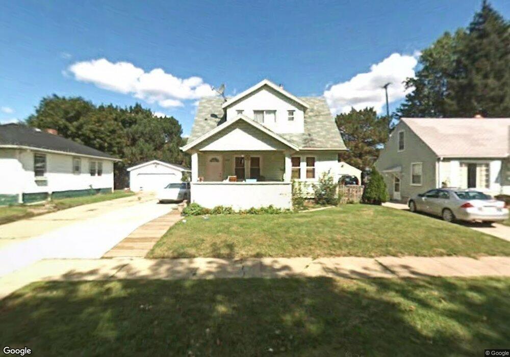
613 Leta Ave Flint, MI 48507
Circle Drive NeighborhoodEstimated Value: $54,000 - $93,000
3
Beds
2
Baths
936
Sq Ft
$75/Sq Ft
Est. Value
About This Home
This home is located at 613 Leta Ave, Flint, MI 48507 and is currently estimated at $70,330, approximately $75 per square foot. 613 Leta Ave is a home located in Genesee County with nearby schools including Freeman Elementary School, Flint Southwestern Classical Academy, and Burton Glen Charter Academy.
Ownership History
Date
Name
Owned For
Owner Type
Purchase Details
Closed on
Jun 16, 2010
Sold by
Midfirst Bank
Bought by
Department Of Veterans Affairs
Current Estimated Value
Purchase Details
Closed on
May 26, 2010
Sold by
Mcdonald Norman L and Mcdonald Laurie
Bought by
Midfirst Bank
Purchase Details
Closed on
Oct 17, 2003
Sold by
Young Norman J and Young Carol A
Bought by
Mcdonald Norman L
Purchase Details
Closed on
Sep 26, 2002
Sold by
Maehre Carl F and Maehre Susan E
Bought by
Young Norman J and Young Carol A
Create a Home Valuation Report for This Property
The Home Valuation Report is an in-depth analysis detailing your home's value as well as a comparison with similar homes in the area
Home Values in the Area
Average Home Value in this Area
Purchase History
| Date | Buyer | Sale Price | Title Company |
|---|---|---|---|
| Department Of Veterans Affairs | -- | None Available | |
| Midfirst Bank | $30,846 | None Available | |
| Mcdonald Norman L | $78,900 | Cislo Title Company | |
| Young Norman J | $38,500 | Cislo Title Company |
Source: Public Records
Tax History
| Year | Tax Paid | Tax Assessment Tax Assessment Total Assessment is a certain percentage of the fair market value that is determined by local assessors to be the total taxable value of land and additions on the property. | Land | Improvement |
|---|---|---|---|---|
| 2025 | $894 | $34,900 | $0 | $0 |
| 2024 | $813 | $31,200 | $0 | $0 |
| 2023 | $801 | $27,400 | $0 | $0 |
| 2022 | $0 | $22,300 | $0 | $0 |
| 2021 | $830 | $17,000 | $0 | $0 |
| 2020 | $752 | $12,100 | $0 | $0 |
| 2019 | $735 | $10,800 | $0 | $0 |
| 2018 | $727 | $9,800 | $0 | $0 |
| 2017 | $763 | $0 | $0 | $0 |
| 2016 | $748 | $0 | $0 | $0 |
| 2015 | -- | $0 | $0 | $0 |
| 2014 | -- | $0 | $0 | $0 |
| 2012 | -- | $14,100 | $0 | $0 |
Source: Public Records
Map
Nearby Homes
- 621 Burroughs Ave
- 630 Buckingham Ave
- 4126 Circle Dr
- 617 McKeighan Ave
- 3617 Circle Dr
- 454 E Atherton Rd
- 916 Buckingham Ave
- 4234 Custer Ave
- 4127 Custer Ave
- 420 Burroughs Ave
- 530 McKeighan Ave
- 720 Algonquin Ave
- 4533 Pengelly Rd
- 361 Buckingham Ave
- 366 E Atherton Rd
- 352 Buckingham Ave
- 326 Burroughs Ave
- 3505 Comanche Ave
- 4424 Cheyenne Ave
- 413 E Hemphill Rd
Your Personal Tour Guide
Ask me questions while you tour the home.