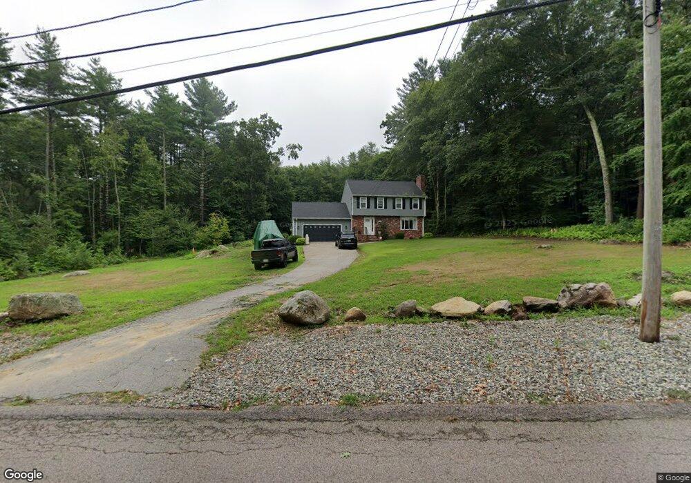
614 Hazard Rd West Greenwich, RI 02817
Estimated Value: $503,524 - $593,000
3
Beds
3
Baths
1,696
Sq Ft
$317/Sq Ft
Est. Value
About This Home
This home is located at 614 Hazard Rd, West Greenwich, RI 02817 and is currently estimated at $537,381, approximately $316 per square foot. 614 Hazard Rd is a home located in Kent County with nearby schools including Mildred E. Lineham School, Metcalf School, and Wawaloam School.
Ownership History
Date
Name
Owned For
Owner Type
Purchase Details
Closed on
Mar 26, 2004
Sold by
Flynn-Ferreira Anne C and Ferreira Luts A
Bought by
Porreca David S and Porreca Sandy M
Current Estimated Value
Home Financials for this Owner
Home Financials are based on the most recent Mortgage that was taken out on this home.
Original Mortgage
$220,000
Interest Rate
5.65%
Mortgage Type
Purchase Money Mortgage
Purchase Details
Closed on
May 19, 1989
Sold by
Peny John
Bought by
Jackson Aden
Create a Home Valuation Report for This Property
The Home Valuation Report is an in-depth analysis detailing your home's value as well as a comparison with similar homes in the area
Home Values in the Area
Average Home Value in this Area
Purchase History
| Date | Buyer | Sale Price | Title Company |
|---|---|---|---|
| Porreca David S | $275,000 | -- | |
| Jackson Aden | $163,500 | -- |
Source: Public Records
Mortgage History
| Date | Status | Borrower | Loan Amount |
|---|---|---|---|
| Open | Jackson Aden | $240,000 | |
| Closed | Jackson Aden | $265,000 | |
| Closed | Jackson Aden | $220,000 |
Source: Public Records
Tax History
| Year | Tax Paid | Tax Assessment Tax Assessment Total Assessment is a certain percentage of the fair market value that is determined by local assessors to be the total taxable value of land and additions on the property. | Land | Improvement |
|---|---|---|---|---|
| 2025 | $6,848 | $428,000 | $171,500 | $256,500 |
| 2024 | $6,848 | $428,000 | $171,500 | $256,500 |
| 2023 | $7,277 | $296,900 | $131,900 | $165,000 |
| 2022 | $7,277 | $296,900 | $131,900 | $165,000 |
| 2021 | $7,135 | $296,900 | $131,900 | $165,000 |
| 2020 | $7,063 | $296,900 | $131,900 | $165,000 |
| 2019 | $7,667 | $317,200 | $131,900 | $185,300 |
| 2018 | $6,945 | $293,100 | $110,600 | $182,500 |
| 2017 | $6,609 | $293,100 | $110,600 | $182,500 |
| 2016 | $5,209 | $231,000 | $95,400 | $135,600 |
| 2015 | $5,209 | $231,000 | $95,400 | $135,600 |
| 2013 | $5,777 | $256,200 | $105,000 | $151,200 |
Source: Public Records
Map
Nearby Homes
- 47 N Shore Rd
- 31 Stonebridge Ln
- 01 Stubble Brook Rd
- 224 Greenhouse Rd
- 105 Stubble Brook Rd
- 627-B Bailey Rd
- 54 Kimberly Dr
- 272 Nicholas Rd
- 417 Victory Hwy
- 6 Catherine Wright Ct
- 81 Deerfield Dr
- 71 Deerfield Dr
- 68 Lillibridge Ave
- 61 Main St
- 1370 Plainfield Pike
- 0 Montauk Trail Unit 1401190
- 770 Victory Hwy
- 52-54 Sheldon Rd
- 0 E Shore Dr
- 241 Perry Hill Rd
Your Personal Tour Guide
Ask me questions while you tour the home.