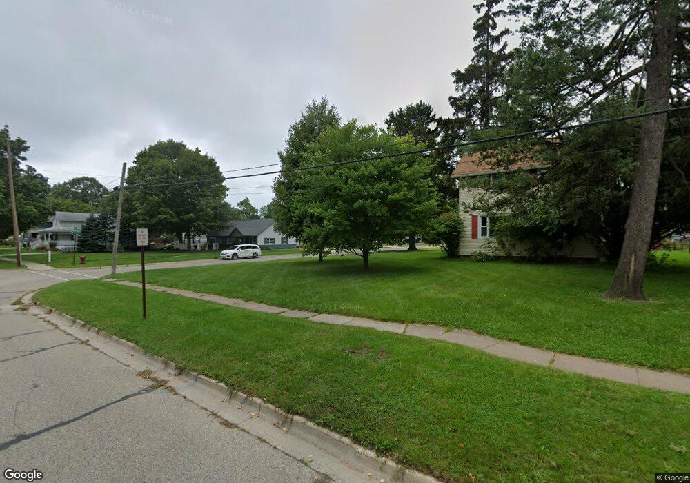
615 Spaulding St Williamston, MI 48895
Estimated Value: $211,000 - $230,000
2
Beds
1
Bath
1,092
Sq Ft
$201/Sq Ft
Est. Value
About This Home
This home is located at 615 Spaulding St, Williamston, MI 48895 and is currently estimated at $219,164, approximately $200 per square foot. 615 Spaulding St is a home located in Ingham County with nearby schools including Williamston Discovery Elementary School, Williamston Explorer Elementary School, and Williamston Middle School.
Ownership History
Date
Name
Owned For
Owner Type
Purchase Details
Closed on
May 4, 2001
Sold by
Hawker Ethan M and Hawker Eirca D
Bought by
Carberry Craig T and Carberry Rhonda J
Current Estimated Value
Home Financials for this Owner
Home Financials are based on the most recent Mortgage that was taken out on this home.
Original Mortgage
$127,000
Interest Rate
6.72%
Purchase Details
Closed on
May 15, 1998
Sold by
Everett Philip L
Bought by
Hawker Ethan A
Create a Home Valuation Report for This Property
The Home Valuation Report is an in-depth analysis detailing your home's value as well as a comparison with similar homes in the area
Home Values in the Area
Average Home Value in this Area
Purchase History
We collect this data history from publicly available records. To have your information removed, we recommend requesting removal directly through your county’s website.
| Date | Buyer | Sale Price | Title Company |
|---|---|---|---|
| Carberry Craig T | $131,000 | First American Title Ins Co | |
| Hawker Ethan A | $99,000 | -- |
Source: Public Records
Mortgage History
We collect this data history from publicly available records. To have your information removed, we recommend requesting removal directly through your county’s website.
| Date | Status | Borrower | Loan Amount |
|---|---|---|---|
| Previous Owner | Carberry Craig T | $127,000 |
Source: Public Records
Tax History
| Year | Tax Paid | Tax Assessment Tax Assessment Total Assessment is a certain percentage of the fair market value that is determined by local assessors to be the total taxable value of land and additions on the property. | Land | Improvement |
|---|---|---|---|---|
| 2025 | $3,866 | $97,300 | $24,800 | $72,500 |
| 2024 | $3,615 | $96,500 | $28,700 | $67,800 |
| 2023 | $3,615 | $84,300 | $22,600 | $61,700 |
| 2022 | $3,442 | $73,500 | $19,800 | $53,700 |
| 2021 | $3,374 | $70,100 | $16,500 | $53,600 |
| 2020 | $3,275 | $69,000 | $16,500 | $52,500 |
| 2019 | $3,142 | $64,900 | $13,800 | $51,100 |
| 2018 | $3,086 | $68,900 | $12,900 | $56,000 |
| 2017 | $2,950 | $68,500 | $11,600 | $56,900 |
| 2016 | -- | $66,000 | $11,600 | $54,400 |
| 2015 | -- | $60,400 | $21,450 | $38,950 |
| 2014 | -- | $54,300 | $23,100 | $31,200 |
Source: Public Records
Map
Nearby Homes
- 324 E Church St
- 426 N Putnam St
- 614 Greencroft Ct
- 725 N Putnam St
- 0 Vanneter Rd
- 125 W Riverside St
- 501 High St
- 1532 Lytell Johne's Path #77
- 1544 Nottingham Forest Trail #63
- 976 Riverview Ct
- 305 E Middle St
- 327 E Middle St
- 508 Red Cedar Blvd
- 486 Red Cedar Blvd
- 482 Red Cedar Blvd
- 2371 Rowley Rd
- 2095 Mitchell Rd
- 0 Hiddenview Ln
- 1825 Rowley Rd
- 317 Crossman St
- 619 Spaulding St
- 431 E Church St
- 439 E Church St
- 616 Irving St
- 631 Spaulding St
- 421 E Church St
- 628 Irving St
- 407 E Church St
- 632 Irving St
- 635 Spaulding St
- V/L Rowley Rd
- 520 Quinlan Dr
- 509 E Church St
- 509 E Church St Unit A
- 509 E Church St Unit B
- 0 E Church St
- 638 Irving St
- 647 Spaulding St
- 535 E Church St
- 524 E Church St
Your Personal Tour Guide
Ask me questions while you tour the home.