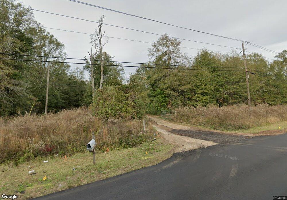
6150 Howells Ferry Rd Mobile, AL 36618
Colonial Heights NeighborhoodEstimated Value: $211,000
About This Home
This home is located at 6150 Howells Ferry Rd, Mobile, AL 36618 and is currently estimated at $211,000, approximately $84 per square foot. 6150 Howells Ferry Rd is a home with nearby schools including Orchard Elementary School, Mattie T Blount High School, and Holy Family Elementary School.
Ownership History
We collect this data history from publicly available records. To have your information removed, we recommend requesting removal directly through your county’s website.
Purchase Details
Purchase Details
Home Financials for this Owner
Home Financials are based on the most recent Mortgage that was taken out on this home.Home Values in the Area
Average Home Value in this Area
Purchase History
We collect this data history from publicly available records. To have your information removed, we recommend requesting removal directly through your county’s website.
| Date | Buyer | Sale Price | Title Company |
|---|---|---|---|
| $8,000 | None Available | ||
| $155,000 | None Available |
Mortgage History
We collect this data history from publicly available records. To have your information removed, we recommend requesting removal directly through your county’s website.
| Date | Status | Borrower | Loan Amount |
|---|---|---|---|
| Open | $80,000 | ||
| Previous Owner | $125,000 |
Tax History
We collect this data history from publicly available records. To have your information removed, we recommend requesting removal directly through your county’s website.
| Year | Tax Paid | Tax Assessment Tax Assessment Total Assessment is a certain percentage of the fair market value that is determined by local assessors to be the total taxable value of land and additions on the property. | Land | Improvement |
|---|---|---|---|---|
| 2025 | $1,778 | $28,000 | $28,000 | $0 |
| 2024 | $1,778 | $28,000 | $28,000 | $0 |
| 2023 | $1,778 | $21,180 | $21,180 | $0 |
| 2022 | $1,482 | $23,340 | $23,340 | $0 |
| 2021 | $1,178 | $19,580 | $11,670 | $7,910 |
| 2020 | $1,222 | $20,120 | $14,590 | $5,530 |
| 2019 | $1,224 | $20,160 | $14,590 | $5,570 |
| 2018 | $1,214 | $20,180 | $0 | $0 |
| 2017 | $1,214 | $20,180 | $0 | $0 |
| 2016 | $2,070 | $32,600 | $0 | $0 |
Map
- 6025 Howells Ferry Rd
- 6000 Howells Ferry Rd
- 0 Hall Rd Unit 7635847
- 1774 Princeton Woods Dr E
- 6421 Saint Thomas Ct
- 6513 Grace St
- 6516 Valor Ct
- 0 Williamstowne Curve Unit 7687107
- 5751 Howells Ferry Rd
- 5851 Overlook Rd
- 1512 Withers Ave
- 4601 Moffett Rd
- 0 Moffett Rd Unit 7736016
- 0 Moffett Rd Unit 7682624
- 0 Moffett Rd Unit 7736003
- 7491 Moffett Rd
- 0 Moffett Rd Unit 2
- 0 Moffett Rd Unit 7549673
- 1704 Princeton Woods Dr W
- 6505 Princeton Woods Dr N
- 6149 Howells Ferry Rd
- 1801 Grider Rd
- 6118 Howells Ferry Rd
- 1752 Donham Dr
- 1817 Grider Rd
- 6246 Howells Ferry Rd
- 1761 Donham Dr
- 1748 Donham Dr
- 1757 Donham Dr
- 1825 Grider Rd
- 1753 Donham Dr
- 1744 Donham Dr
- 6201 Howells Ferry Rd
- 6250 Howells Ferry Rd
- 6100 Howells Ferry Rd
- 1749 Donham Dr
- 1740 Donham Dr
- 6245 Howells Ferry Rd
- 1745 Donham Dr
- 1736 Donham Dr
Ask me questions while you tour the home.