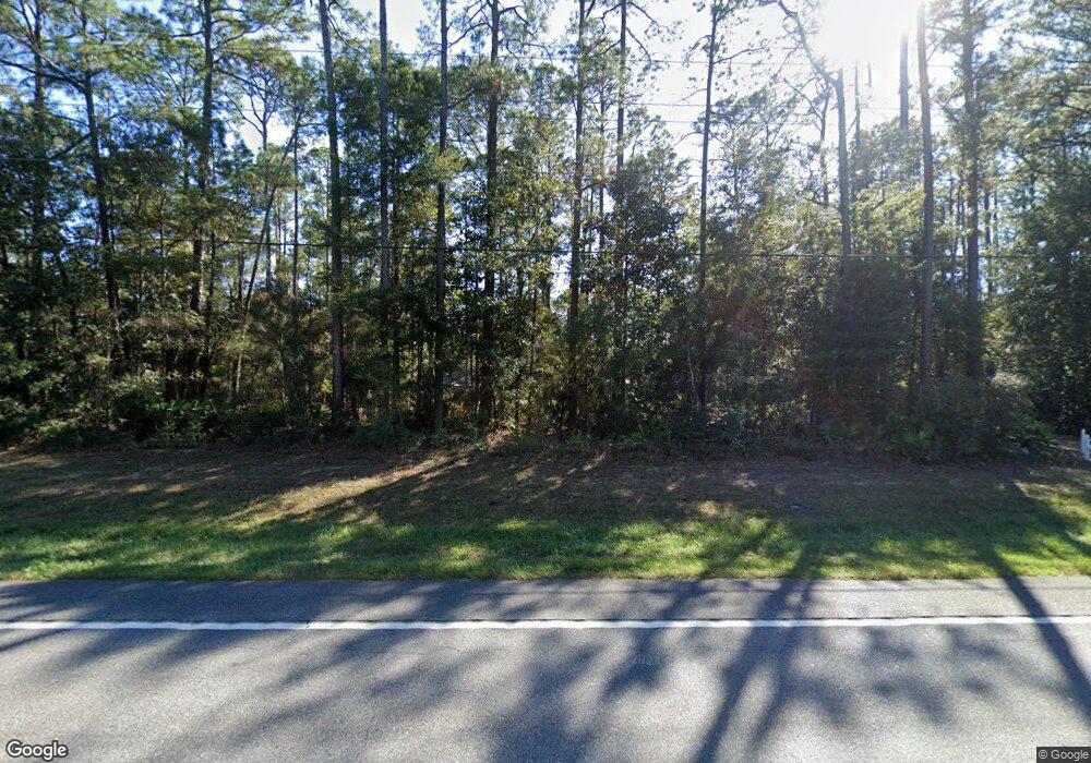
6150 State Highway 20 E Freeport, FL 32439
Estimated Value: $361,000 - $512,000
5
Beds
4
Baths
2,912
Sq Ft
$146/Sq Ft
Est. Value
About This Home
This home is located at 6150 State Highway 20 E, Freeport, FL 32439 and is currently estimated at $426,584, approximately $146 per square foot. 6150 State Highway 20 E is a home located in Walton County with nearby schools including Freeport Elementary School, Freeport Middle School, and Freeport Senior High School.
Ownership History
Date
Name
Owned For
Owner Type
Purchase Details
Closed on
Nov 9, 2023
Sold by
Lizotte Mark D and Lizotte Barbara E
Bought by
Land Trust and Lizotte
Current Estimated Value
Purchase Details
Closed on
Aug 25, 2017
Sold by
Marden Donald I and Marden Nancy S
Bought by
Lizotte Mark D and Lizotte Barbara E
Home Financials for this Owner
Home Financials are based on the most recent Mortgage that was taken out on this home.
Original Mortgage
$160,000
Interest Rate
4.03%
Mortgage Type
New Conventional
Create a Home Valuation Report for This Property
The Home Valuation Report is an in-depth analysis detailing your home's value as well as a comparison with similar homes in the area
Home Values in the Area
Average Home Value in this Area
Purchase History
| Date | Buyer | Sale Price | Title Company |
|---|---|---|---|
| Land Trust | $100 | None Listed On Document | |
| Land Trust | $100 | None Listed On Document | |
| Land Trust | $100 | None Listed On Document | |
| Lizotte Mark D | $200,000 | Mcneese Title Llc |
Source: Public Records
Mortgage History
| Date | Status | Borrower | Loan Amount |
|---|---|---|---|
| Previous Owner | Lizotte Mark D | $160,000 |
Source: Public Records
Tax History Compared to Growth
Tax History
| Year | Tax Paid | Tax Assessment Tax Assessment Total Assessment is a certain percentage of the fair market value that is determined by local assessors to be the total taxable value of land and additions on the property. | Land | Improvement |
|---|---|---|---|---|
| 2024 | $1,154 | $162,659 | -- | -- |
| 2023 | $1,154 | $157,921 | $0 | $0 |
| 2022 | $1,142 | $153,321 | $0 | $0 |
| 2021 | $1,153 | $148,855 | $0 | $0 |
| 2020 | $1,171 | $146,800 | $11,725 | $135,075 |
| 2019 | $1,137 | $143,773 | $0 | $0 |
| 2018 | $1,117 | $141,092 | $0 | $0 |
| 2017 | $1,451 | $140,533 | $11,725 | $128,808 |
| 2016 | $1,452 | $139,213 | $0 | $0 |
| 2015 | $1,447 | $136,387 | $0 | $0 |
| 2014 | $1,481 | $137,824 | $0 | $0 |
Source: Public Records
Map
Nearby Homes
- xxxx St Highway 20 E
- 502 Windswept Blvd
- 588 Windswept Blvd
- 69 Club House Dr W
- 12 E Club House Dr
- 155 Club House Dr E
- 38 Bentgrass S
- 335 Club House Dr E
- 332 Club House Dr E
- 629 Club House Dr W
- 144 N Bentgrass Rd
- 156 Bentgrass Rd N
- 166 Bentgrass N
- 180 Gulf Pines Ct
- 1003 Coastal Breeze Dr
- 961 Coastal Breeze Dr
- Rosemary Plan at Windswept Estates - Cornerstone
- Caliza Plan at Windswept Estates - Cornerstone
- Hamilton Plan at Windswept Estates - Cornerstone
- Eden Plan at Windswept Estates - Cornerstone
- 6200 E St Hwy 20
- 107 Plum Ave
- 23 Plum Ave
- 23 Plum Ave
- TBD State Highway 20 E
- 6.95 ACRES Hwy 20
- 104 Plum Ave
- 00 Stanley Dr
- 123 Burnham Rd
- XXX Hwy 20
- 552 Windswept Blvd
- 5951 State Highway 20 E
- 62 Burnham Rd
- 94 Burnham Rd
- 5951 Florida 20
- xxxx State Highway 20 E
- 232 Burnham Rd
- 5768 State Highway 20 E
- 110 Stanley Dr
- 6600 State Highway 20 E
