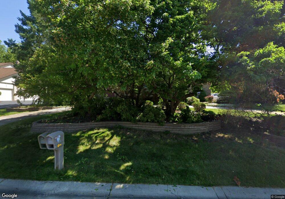
6151 Dunmore Dr West Bloomfield, MI 48322
West Bloomfield Township NeighborhoodEstimated Value: $495,000 - $710,000
5
Beds
4
Baths
3,430
Sq Ft
$171/Sq Ft
Est. Value
About This Home
This home is located at 6151 Dunmore Dr, West Bloomfield, MI 48322 and is currently estimated at $585,439, approximately $170 per square foot. 6151 Dunmore Dr is a home located in Oakland County with nearby schools including Sheiko Elementary School, Bloomfield Maples Montessori, and Sarah & Irving Pitt Child Development Center.
Ownership History
Date
Name
Owned For
Owner Type
Purchase Details
Closed on
Feb 9, 2010
Sold by
Brown Robinson Rosie L and Robinson Donald
Bought by
Federal Home Loan Mortgage Corp
Current Estimated Value
Purchase Details
Closed on
Oct 20, 1999
Sold by
Seigerman Charles
Bought by
Robinson Rosie L
Create a Home Valuation Report for This Property
The Home Valuation Report is an in-depth analysis detailing your home's value as well as a comparison with similar homes in the area
Home Values in the Area
Average Home Value in this Area
Purchase History
| Date | Buyer | Sale Price | Title Company |
|---|---|---|---|
| Federal Home Loan Mortgage Corp | $360,853 | None Available | |
| Robinson Rosie L | $375,000 | -- |
Source: Public Records
Tax History
| Year | Tax Paid | Tax Assessment Tax Assessment Total Assessment is a certain percentage of the fair market value that is determined by local assessors to be the total taxable value of land and additions on the property. | Land | Improvement |
|---|---|---|---|---|
| 2025 | $7,443 | $249,200 | $35,190 | $214,010 |
| 2024 | $4,638 | $247,360 | $0 | $0 |
| 2022 | $4,441 | $204,920 | $35,190 | $169,730 |
| 2021 | $6,748 | $208,210 | $0 | $0 |
| 2020 | $4,351 | $201,310 | $35,190 | $166,120 |
| 2018 | $6,506 | $189,870 | $17,600 | $172,270 |
| 2015 | -- | $190,000 | $0 | $0 |
| 2014 | -- | $174,050 | $0 | $0 |
| 2011 | -- | $146,400 | $0 | $0 |
Source: Public Records
Map
Nearby Homes
- 4623 Patrick Rd
- 4550 Patrick Rd
- 6322 Pepper Hill St Unit 62
- 5731 Farmington Rd
- 5040 Patrick Rd
- 5045 Forestdale Dr
- 6610 Fieldstone Ct
- 6622 Fieldstone Ct
- 6651 Hearthside Ct Unit 1
- 5686 Stratford Dr
- 5205 Potomac Run N
- 5216 Brett Ct Unit 53
- 5591 Pembrooke Crossing
- 6655 Lee Crest Dr
- 6129 Westbrooke Dr Unit 10
- 3865 Stonecrest Rd
- 5256 Wright Way E Unit 64
- 6427 Richard Run Unit 10
- 23617 Trailview Dr Unit 29
- 23601 Trailview Dr Unit 37
- 6133 Dunmore Dr
- 6186 Pickwood Dr
- 6185 Dunmore Dr
- 6160 Dunmore Dr
- 6090 Pickwood Ct
- 6183 Pickwood Dr
- 6146 Dunmore Dr Unit Bldg-Unit
- 6146 Dunmore Dr
- 6180 Pickwood Dr
- 6115 Dunmore Dr
- 6132 Dunmore Dr
- 6174 Dunmore Dr
- 4436 Pinehurst Dr
- 6096 Pickwood Ct
- 6190 Dunmore Dr
- 0000 Davisburg Rd
- 6177 Pickwood Dr
- 6118 Dunmore Dr
- 6084 Pickwood Ct
- 6170 Pickwood Dr
Your Personal Tour Guide
Ask me questions while you tour the home.