Estimated Value: $255,000 - $316,000
3
Beds
2
Baths
1,264
Sq Ft
$224/Sq Ft
Est. Value
About This Home
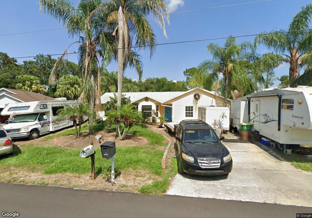
This home is located at 6159 Corning Rd, Cocoa, FL 32927 and is currently estimated at $283,671, approximately $224 per square foot. 6159 Corning Rd is a home located in Brevard County with nearby schools including Enterprise Elementary School, Space Coast Junior/Senior High School, and East Atlantic Prep of Brevard County.
Ownership History
Date
Name
Owned For
Owner Type
Purchase Details
Closed on
May 30, 2003
Sold by
Oleksik Michael Joseph and Oleksik Deborah A
Bought by
Porch Randall S
Current Estimated Value
Home Financials for this Owner
Home Financials are based on the most recent Mortgage that was taken out on this home.
Original Mortgage
$120,500
Outstanding Balance
$52,823
Interest Rate
5.79%
Estimated Equity
$230,848
Create a Home Valuation Report for This Property
The Home Valuation Report is an in-depth analysis detailing your home's value as well as a comparison with similar homes in the area
Home Values in the Area
Average Home Value in this Area
Purchase History
| Date | Buyer | Sale Price | Title Company |
|---|---|---|---|
| Porch Randall S | $120,500 | Fidelity National Title Insu |
Source: Public Records
Mortgage History
| Date | Status | Borrower | Loan Amount |
|---|---|---|---|
| Open | Porch Randall S | $120,500 |
Source: Public Records
Tax History
| Year | Tax Paid | Tax Assessment Tax Assessment Total Assessment is a certain percentage of the fair market value that is determined by local assessors to be the total taxable value of land and additions on the property. | Land | Improvement |
|---|---|---|---|---|
| 2025 | $1,165 | $92,630 | -- | -- |
| 2024 | $1,128 | $90,020 | -- | -- |
| 2023 | $1,128 | $87,400 | $0 | $0 |
| 2022 | $1,045 | $84,860 | $0 | $0 |
| 2021 | $1,033 | $82,390 | $0 | $0 |
| 2020 | $979 | $81,260 | $0 | $0 |
| 2019 | $911 | $79,440 | $0 | $0 |
| 2018 | $900 | $77,960 | $0 | $0 |
| 2017 | $887 | $76,360 | $0 | $0 |
| 2016 | $881 | $74,790 | $18,000 | $56,790 |
| 2015 | $888 | $74,280 | $15,000 | $59,280 |
| 2014 | $891 | $73,690 | $11,000 | $62,690 |
Source: Public Records
Map
Nearby Homes
- 6085 Edison St
- 6230 Balsam St
- 6150 Baltimore Ave
- 6180 Balboa St
- 00000 Golfview Ave
- 6215 Balboa St
- 6220 Golfview Ave
- 5812 Homestead Ave
- 6250 Ainsworth Rd
- 23-35-21-JX-B-2 Aruin St
- 6460 Homestead Ave
- 0 Aruin St Unit 1222557
- 6510 Aspen Ln
- 6460 Ainsworth Rd
- 6545 Addie Ave
- 6135 Allmont St
- 5721 Beaverbrook St
- 6115 Allmont St
- 5680 Banos Ave
- 6490 Addax Ave
- 6155 Corning Rd
- 6165 Corning Rd
- 6120 Fay Blvd
- 6190 Corning Rd
- 6151 Corning Rd
- 6120 Euclid Ave
- 6169 Corning Rd
- 6160 Corning Rd
- 6140 Fay Blvd
- 6154 Corning Rd
- 6166 Corning Rd
- 6110 Fay Blvd
- 6130 Euclid Ave
- 6147 Corning Rd
- 6148 Corning Rd
- 6150 Fay Blvd
- 6175 Corning Rd
- 6172 Corning Rd
- 6140 Euclid Ave
- 6153 Dees Rd
Your Personal Tour Guide
Ask me questions while you tour the home.