61678 Dee Cox Rd Heppner, OR 97836
Estimated Value: $394,000 - $426,000
3
Beds
2
Baths
1,788
Sq Ft
$227/Sq Ft
Est. Value
About This Home
This home is located at 61678 Dee Cox Rd, Heppner, OR 97836 and is currently estimated at $406,309, approximately $227 per square foot. 61678 Dee Cox Rd is a home located in Morrow County with nearby schools including Heppner Elementary School and Heppner Junior/Senior High School.
Ownership History
Date
Name
Owned For
Owner Type
Purchase Details
Closed on
Aug 31, 2006
Sold by
Finley Donald W and Finley Sharyn J
Bought by
Sowell Cinthia and Garcia Rodolfo
Current Estimated Value
Home Financials for this Owner
Home Financials are based on the most recent Mortgage that was taken out on this home.
Original Mortgage
$151,050
Outstanding Balance
$97,508
Interest Rate
8.29%
Mortgage Type
Adjustable Rate Mortgage/ARM
Estimated Equity
$308,801
Create a Home Valuation Report for This Property
The Home Valuation Report is an in-depth analysis detailing your home's value as well as a comparison with similar homes in the area
Purchase History
| Date | Buyer | Sale Price | Title Company |
|---|---|---|---|
| Sowell Cinthia | -- | -- |
Source: Public Records
Mortgage History
| Date | Status | Borrower | Loan Amount |
|---|---|---|---|
| Open | Sowell Cinthia | $151,050 |
Source: Public Records
Tax History
| Year | Tax Paid | Tax Assessment Tax Assessment Total Assessment is a certain percentage of the fair market value that is determined by local assessors to be the total taxable value of land and additions on the property. | Land | Improvement |
|---|---|---|---|---|
| 2025 | $3,341 | $200,965 | -- | -- |
| 2024 | $2,687 | $195,237 | -- | -- |
| 2023 | $2,613 | $189,679 | $0 | $0 |
| 2022 | $2,466 | $184,292 | $0 | $0 |
| 2021 | $2,398 | $179,050 | $0 | $0 |
| 2020 | $2,562 | $179,050 | $0 | $0 |
| 2019 | $2,465 | $173,958 | $0 | $0 |
Source: Public Records
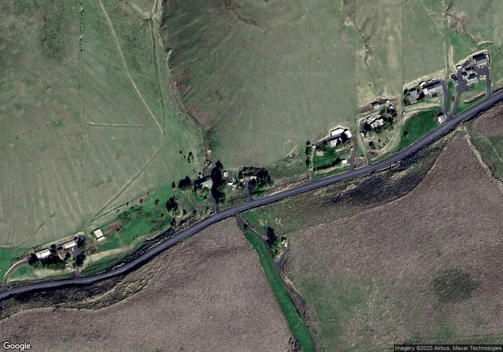
Map
Nearby Homes
- 61476 Dee Cox Rd
- 387 E Linden Way
- 440 W Riverside St
- 420 Water St
- 280 Water St
- 175 W Baltimore St
- 315 N Gale St
- 280 W Center St
- 260 W Center St
- 300 N Chase St
- 310 N Chase St
- 240 N Court St
- 140 S Chase St
- 120 N Gilmore St
- 235 Rock St
- 220 E August St
- 615 E Cowins St
- 680 S Alfalfa St
- 875 Lakeview Ct
- 110 N Gilmore St
- 61658 Dee Cox Rd
- 61794 Dee Cox Rd
- 61572 Dee Cox Rd
- 61798 Dee Cox Rd
- 560 E Cowins St
- 61884 Dee Cox Rd
- 61464 Dee Cox Rd
- 53542 Highway 74
- 0 Nka 2s26-3401 Unit 3401 23373764
- 360 S Gilmore St
- 780 W Riverside St
- 53726 Highway 74
- 53867 Highway 74
- 53747 Highway 74
- 780 Riverside Ave
- 53784 Highway 74
- 550 Riverside Ave
- 525 W Linden Way
- 53804 Highway 74
- 73973 Fuller Canyon Ln
Your Personal Tour Guide
Ask me questions while you tour the home.