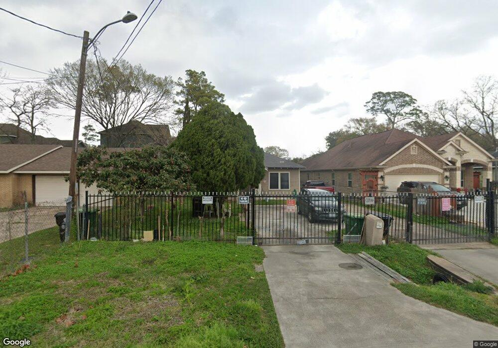
617 Duff Ln Houston, TX 77022
Northside-Northline NeighborhoodEstimated Value: $393,000 - $566,000
3
Beds
2
Baths
2,828
Sq Ft
$164/Sq Ft
Est. Value
About This Home
This home is located at 617 Duff Ln, Houston, TX 77022 and is currently estimated at $462,624, approximately $163 per square foot. 617 Duff Ln is a home located in Harris County with nearby schools including Burbank Elementary School, Burbank Middle School, and Sam Houston Math, Science & Technology Center.
Ownership History
Date
Name
Owned For
Owner Type
Purchase Details
Closed on
Dec 29, 2016
Sold by
Aguiilera Aguiilera Lucia Perez Lucia Perez and Aguiilera Figueroa Ricardo
Bought by
Aguilera Lucia and Aguilera Ricardo
Current Estimated Value
Purchase Details
Closed on
Apr 3, 2014
Sold by
Aguilera Lucia Perez
Bought by
Figueroa Ricardo Aguilera
Purchase Details
Closed on
Oct 1, 2013
Sold by
Garcia Philip L and Garcia Phillip Leiva
Bought by
Aguilera Lucia Perez
Create a Home Valuation Report for This Property
The Home Valuation Report is an in-depth analysis detailing your home's value as well as a comparison with similar homes in the area
Home Values in the Area
Average Home Value in this Area
Purchase History
| Date | Buyer | Sale Price | Title Company |
|---|---|---|---|
| Aguilera Lucia | -- | None Available | |
| Figueroa Ricardo Aguilera | -- | None Available | |
| Aguilera Lucia Perez | $38,000 | None Available |
Source: Public Records
Tax History
| Year | Tax Paid | Tax Assessment Tax Assessment Total Assessment is a certain percentage of the fair market value that is determined by local assessors to be the total taxable value of land and additions on the property. | Land | Improvement |
|---|---|---|---|---|
| 2025 | $941 | $523,361 | $108,779 | $414,582 |
| 2024 | $941 | $429,566 | $99,833 | $329,733 |
| 2023 | $1,002 | $591,704 | $60,830 | $530,874 |
| 2022 | $8,263 | $498,964 | $60,830 | $438,134 |
| 2021 | $7,951 | $456,475 | $60,830 | $395,645 |
| 2020 | $7,511 | $467,312 | $60,830 | $406,482 |
| 2019 | $7,135 | $333,577 | $50,096 | $283,481 |
| 2018 | $2,225 | $333,577 | $41,866 | $291,711 |
| 2017 | $5,892 | $333,577 | $41,866 | $291,711 |
| 2016 | $5,356 | $273,544 | $39,361 | $234,183 |
| 2015 | $1,196 | $199,512 | $28,626 | $170,886 |
| 2014 | $1,196 | $46,542 | $28,626 | $17,916 |
Source: Public Records
Map
Nearby Homes
- 723 Doverside St
- 721 Doverside St
- 609 Firnat St
- 9026 Mcgallion Rd
- 507 Firnat St
- 802 Berry Sage Ln
- 8205 Appleton St
- 8715 Bauman Rd Unit 6
- 1104 Charnwood St
- 1207 Firnat St
- 0 Appleton St
- 620 Apache St
- 324 Charlock St
- 322 Charlock St
- 323 Charlock St
- 321 Charlock St
- 714 Apache St
- 267 De Boll St
- 253 De Boll St
- 525 Eubanks St
- 625 Duff Ln
- 617 1/2 Duff Ln
- 629 Duff Ln
- 624 Doverside St
- 626 Doverside St
- 622 Doverside St
- 628 Doverside St
- 8525 Helmers St
- 620 Duff Ln
- 701 Duff Ln
- 618 Duff Ln
- 8604 Helmers St
- 702 Doverside St
- 0 Mcgallion Rd Unit 3747808
- 0 Mcgallion Rd Unit 30420938
- 703 Duff Ln
- 702 1/2 Doverside St
- 8519 Helmers St
- 702 Duff Ln
- 709 Berry Rd
Your Personal Tour Guide
Ask me questions while you tour the home.