617 Maxie Cir Metter, GA 30439
Estimated Value: $160,000 - $182,186
3
Beds
2
Baths
1,300
Sq Ft
$131/Sq Ft
Est. Value
About This Home
This home is located at 617 Maxie Cir, Metter, GA 30439 and is currently estimated at $170,297, approximately $130 per square foot. 617 Maxie Cir is a home located in Candler County with nearby schools including Metter Elementary School, Metter Middle School, and Metter High School.
Ownership History
Date
Name
Owned For
Owner Type
Purchase Details
Closed on
Dec 28, 2018
Sold by
Joiner Betty J Executrix
Bought by
Blair Gennie Mae Gordon
Current Estimated Value
Home Financials for this Owner
Home Financials are based on the most recent Mortgage that was taken out on this home.
Original Mortgage
$67,534
Interest Rate
4.8%
Mortgage Type
New Conventional
Purchase Details
Closed on
May 1, 1989
Bought by
Joiner Booker T
Create a Home Valuation Report for This Property
The Home Valuation Report is an in-depth analysis detailing your home's value as well as a comparison with similar homes in the area
Home Values in the Area
Average Home Value in this Area
Purchase History
| Date | Buyer | Sale Price | Title Company |
|---|---|---|---|
| Blair Gennie Mae Gordon | $80,000 | -- | |
| Joiner Booker T | $3,500 | -- |
Source: Public Records
Mortgage History
| Date | Status | Borrower | Loan Amount |
|---|---|---|---|
| Closed | Blair Gennie Mae Gordon | $67,534 |
Source: Public Records
Tax History
| Year | Tax Paid | Tax Assessment Tax Assessment Total Assessment is a certain percentage of the fair market value that is determined by local assessors to be the total taxable value of land and additions on the property. | Land | Improvement |
|---|---|---|---|---|
| 2025 | $2,416 | $52,695 | $5,440 | $47,255 |
| 2024 | $2,416 | $52,695 | $5,440 | $47,255 |
| 2023 | $2,285 | $50,907 | $5,440 | $45,467 |
| 2022 | $1,898 | $43,077 | $5,440 | $37,637 |
| 2021 | $1,667 | $37,578 | $5,440 | $32,138 |
| 2020 | $1,670 | $37,578 | $5,440 | $32,138 |
| 2019 | $1,683 | $37,578 | $5,440 | $32,138 |
| 2018 | $1,182 | $29,668 | $2,380 | $27,288 |
| 2017 | $1,074 | $32,048 | $4,760 | $27,288 |
| 2016 | $1,183 | $32,048 | $4,760 | $27,288 |
| 2015 | $967 | $32,111 | $4,760 | $27,352 |
| 2014 | $967 | $32,112 | $4,760 | $27,352 |
Source: Public Records
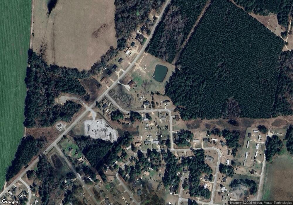
Map
Nearby Homes
- 190 Foxridge Ct
- 170 Foxridge Ct
- 360 N Lewis St
- 297 N Rountree St
- 982 McCranie Dr
- 40 Hickory St
- 50 Cedar St
- 150 W Willow Lake Dr
- 465 Cedar St
- 405 S Leroy St
- 46875 Georgia 46
- 221 S College St
- 450 S Rountree St
- 410 Preston St
- 1005 Cedar St
- 200 Ellis St
- 6674 Union Rd
- 0 Central Ave Unit 10628403
- 1569 Pond View Rd
- 1337 Wildflower Cir
- 794 Martin Luther King jr Blvd
- 637 Maxsie Cir
- 628 Maxie Cir
- 634 Maxsie Cir
- 638 Maxie Cir
- 618 Maxie Cir
- 790 Martin Luther King jr Blvd
- 815 Scott St
- 737 Ronnie St
- 765 Ronnie St
- 759 Michael St
- 710 Russell Ln
- 798 Michael St
- 720 Ronnie St
- 615 David St
- 625 David St
- 635 David St
- 792 Michael St
- 721 Ronnie St
- 788 Michael St
Your Personal Tour Guide
Ask me questions while you tour the home.