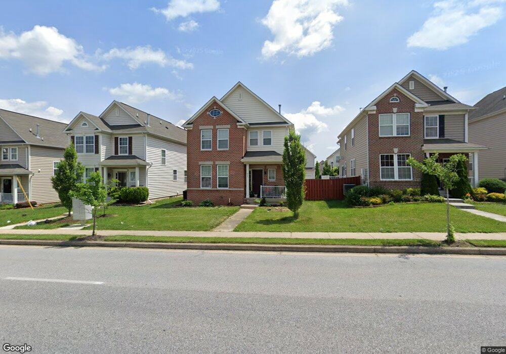
617 Middle River Rd Middle River, MD 21220
Estimated Value: $398,844 - $476,000
Studio
--
Bath
2,712
Sq Ft
$167/Sq Ft
Est. Value
About This Home
This home is located at 617 Middle River Rd, Middle River, MD 21220 and is currently estimated at $452,461, approximately $166 per square foot. 617 Middle River Rd is a home located in Baltimore County with nearby schools including Glenmar Elementary School, Middle River Middle School, and Kenwood High.
Ownership History
Date
Name
Owned For
Owner Type
Purchase Details
Closed on
May 17, 2010
Sold by
The Ryland Group Inc
Bought by
Dorsey Tekemia N
Current Estimated Value
Create a Home Valuation Report for This Property
The Home Valuation Report is an in-depth analysis detailing your home's value as well as a comparison with similar homes in the area
Home Values in the Area
Average Home Value in this Area
Purchase History
| Date | Buyer | Sale Price | Title Company |
|---|---|---|---|
| Dorsey Tekemia N | $305,849 | -- |
Source: Public Records
Tax History
| Year | Tax Paid | Tax Assessment Tax Assessment Total Assessment is a certain percentage of the fair market value that is determined by local assessors to be the total taxable value of land and additions on the property. | Land | Improvement |
|---|---|---|---|---|
| 2025 | $4,694 | $367,000 | -- | -- |
| 2024 | $4,694 | $334,500 | $0 | $0 |
| 2023 | $2,403 | $302,000 | $104,500 | $197,500 |
| 2022 | $4,487 | $297,800 | $0 | $0 |
| 2021 | $4,110 | $293,600 | $0 | $0 |
| 2020 | $4,110 | $289,400 | $104,500 | $184,900 |
| 2019 | $3,959 | $281,967 | $0 | $0 |
| 2018 | $4,123 | $274,533 | $0 | $0 |
| 2017 | $3,725 | $267,100 | $0 | $0 |
| 2016 | $4,021 | $257,867 | $0 | $0 |
| 2015 | $4,021 | $248,633 | $0 | $0 |
| 2014 | $4,021 | $239,400 | $0 | $0 |
Source: Public Records
Map
Nearby Homes
- 710 Luke Rd
- 9663 Davison Rd
- 9707 Selfridge Rd
- 17 Taos Cir
- 139 Transverse Ave
- 10 Cowl Ct
- 812 Corktree Rd
- 57 Transverse Ave
- 66 Transverse Ave
- 816 Thimbleberry Rd
- 8 Control Ct
- 1800 Watermark Way
- 39 Transverse Ave
- 302 Endsleigh Ave
- 236 Endsleigh Ave
- 214 Ballard Ave
- 301 Endsleigh Ave
- 111 Dihedral Dr
- 52 Longeron Dr
- 1009 Fuselage Ave
- 701 Middle River Rd
- 615 Middle River Rd
- 703 Middle River Rd
- 613 Middle River Rd
- 714 Nellis Rd
- 716 Nellis Rd
- 712 Nellis Rd
- 705 Middle River Rd
- 611 Middle River Rd
- 718 Nellis Rd
- 710 Nellis Rd
- 720 Nellis Rd
- 609 Middle River Rd
- 707 Middle River Rd
- 708 Nellis Rd
- 700 Middle River Rd
- 607 Middle River Rd
- 706 Nellis Rd
- 709 Middle River Rd
- 702 Middle River Rd
Your Personal Tour Guide
Ask me questions while you tour the home.