Estimated Value: $1,166,000 - $1,506,000
About This Home
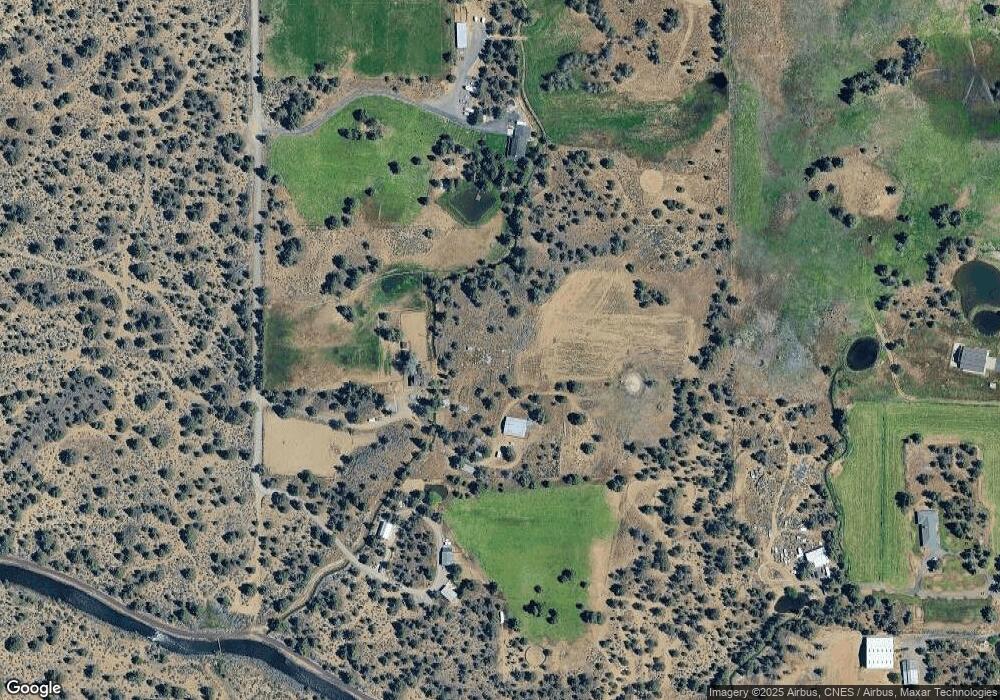
This home is located at 61702 Teal Rd, Bend, OR 97702 and is currently estimated at $1,290,225, approximately $519 per square foot. 61702 Teal Rd is a home located in Deschutes County with nearby schools including Silver Rail Elementary School, High Desert Middle School, and Bend Senior High School.
Ownership History
We collect this data history from publicly available records. To have your information removed, we recommend requesting removal directly through your county’s website.
Purchase Details
Purchase Details
Home Financials for this Owner
Home Financials are based on the most recent Mortgage that was taken out on this home.Purchase Details
Purchase History
We collect this data history from publicly available records. To have your information removed, we recommend requesting removal directly through your county’s website.
| Date | Buyer | Sale Price | Title Company |
|---|---|---|---|
| -- | None Listed On Document | ||
| $700,000 | Amerititle | ||
| -- | None Available |
Mortgage History
We collect this data history from publicly available records. To have your information removed, we recommend requesting removal directly through your county’s website.
| Date | Status | Borrower | Loan Amount |
|---|---|---|---|
| Previous Owner | $417,000 |
Tax History
We collect this data history from publicly available records. To have your information removed, we recommend requesting removal directly through your county’s website.
| Year | Tax Paid | Tax Assessment Tax Assessment Total Assessment is a certain percentage of the fair market value that is determined by local assessors to be the total taxable value of land and additions on the property. | Land | Improvement |
|---|---|---|---|---|
| 2025 | $5,995 | $400,214 | -- | -- |
| 2024 | $5,750 | $389,524 | -- | -- |
| 2023 | $5,414 | $378,394 | $0 | $0 |
| 2022 | $4,995 | $357,104 | $0 | $0 |
| 2021 | $5,029 | $346,924 | $0 | $0 |
| 2020 | $4,751 | $346,924 | $0 | $0 |
| 2019 | $4,620 | $337,034 | $0 | $0 |
| 2018 | $4,046 | $295,174 | $0 | $0 |
| 2017 | $3,942 | $286,794 | $0 | $0 |
| 2016 | $3,748 | $278,661 | $0 | $0 |
| 2015 | $3,646 | $270,760 | $0 | $0 |
| 2014 | $3,531 | $263,060 | $0 | $0 |
Map
- 61445 Gosney Rd
- 0 Highway 20 Unit 296721434
- 61465 White Peaks Ct
- 22055 White Peaks Dr
- 62262 Chickadee Ln
- 22030 Stormy Ln
- 21925 Bear Creek Rd
- 22539 Martee Ln
- 62111 Cody Rd
- 60965 Ward Rd
- 22520 Carolyn Ct
- 62370 Wallace Rd
- 61590 Gribbling Rd
- 61590 Gribbling Rd Unit Lot 2
- 22305 Neff Rd
- 61855 Dobbin Rd
- 61280 Larsen Rd
- 21721 Filly Ct
- 61900 Anker Ln
- 21589 Bear Creek Rd
- 61670 Teal Rd
- 61750 Teal Rd
- 61780 Teal Rd
- 61661 Gosney Rd
- 61735 Gosney Rd
- 61635 Gosney Rd
- 61788 Teal Rd
- 61885 Gosney Rd
- 61886 Teal Rd
- 61595 Gosney Rd
- 61825 Teal Rd
- 61795 Teal Rd
- 61700 Gosney Rd
- 61875 Teal Rd
- 61555 Gosney Rd
- 61720 Gosney Rd
- 61525 Gosney Rd
- 61590 Gosney Rd
- 61995 Somerset Dr
- 61865 Gosney Rd
Ask me questions while you tour the home.