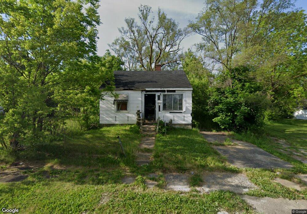
618 E Austin Ave Flint, MI 48505
MLK Circle NeighborhoodEstimated Value: $18,000 - $68,170
2
Beds
1
Bath
624
Sq Ft
$70/Sq Ft
Est. Value
About This Home
This home is located at 618 E Austin Ave, Flint, MI 48505 and is currently estimated at $43,723, approximately $70 per square foot. 618 E Austin Ave is a home located in Genesee County with nearby schools including Brownell STEM Academy, The New Standard Academy, and Eagle's Nest Academy.
Ownership History
Date
Name
Owned For
Owner Type
Purchase Details
Closed on
Feb 19, 2026
Sold by
Genesee County Land Bank Authority
Bought by
Hemphill Quachelle
Current Estimated Value
Purchase Details
Closed on
Dec 18, 2018
Sold by
Cherry Deborah L
Bought by
Genesee County Land Bank Authority
Purchase Details
Closed on
Mar 13, 2013
Sold by
Jackson D Andre Kyle
Bought by
Richardson Delouise
Purchase Details
Closed on
Aug 24, 2007
Sold by
Keels Larry G and Keels Sharon
Bought by
Jackson Dandre
Create a Home Valuation Report for This Property
The Home Valuation Report is an in-depth analysis detailing your home's value as well as a comparison with similar homes in the area
Home Values in the Area
Average Home Value in this Area
Purchase History
| Date | Buyer | Sale Price | Title Company |
|---|---|---|---|
| Hemphill Quachelle | $1,000 | None Listed On Document | |
| Genesee County Land Bank Authority | -- | None Available | |
| Richardson Delouise | -- | None Available | |
| Jackson Dandre | $38,000 | Metropolitan Title Company |
Source: Public Records
Tax History
| Year | Tax Paid | Tax Assessment Tax Assessment Total Assessment is a certain percentage of the fair market value that is determined by local assessors to be the total taxable value of land and additions on the property. | Land | Improvement |
|---|---|---|---|---|
| 2025 | -- | $0 | $0 | $0 |
| 2024 | -- | $0 | $0 | $0 |
| 2023 | -- | $0 | $0 | $0 |
| 2022 | $0 | $0 | $0 | $0 |
| 2021 | $0 | $0 | $0 | $0 |
| 2020 | $0 | $0 | $0 | $0 |
| 2019 | $474 | $0 | $0 | $0 |
| 2018 | $397 | $3,400 | $0 | $0 |
| 2017 | $409 | $0 | $0 | $0 |
| 2016 | $474 | $0 | $0 | $0 |
| 2015 | -- | $0 | $0 | $0 |
| 2014 | -- | $0 | $0 | $0 |
| 2012 | -- | $5,000 | $0 | $0 |
Source: Public Records
Map
Nearby Homes
- 638 E Foss Ave
- 425 E Lorado Ave
- 421 E Lorado Ave
- 422 E Foss Ave
- 418 E Foss Ave
- 345 E Austin Ave
- 426 E Holbrook Ave
- 802 E Russell Ave
- 225 E Piper Ave
- 350 E Mott Ave
- 246 E York Ave
- 618 E Parkway Ave
- 209 E York Ave
- 1062 Tremont Ave
- 140 E Alma Ave
- 6101 Selby St
- 680 E Pierson Rd
- 1082 W Juliah Ave
- 0 E Marengo Ave Unit 50200980
- 409 W Alma Ave
- 614 E Austin Ave
- 622 E Austin Ave
- 626 E Austin Ave
- 630 E Austin Ave
- 617 W Austin Ave
- 617 E Austin Ave
- 634 E Austin Ave
- 613 E Austin Ave
- 638 E Austin Ave
- 642 E Austin Ave
- 525 E Russell Ave
- 622 E Russell Ave
- 522 E Austin Ave
- 630 E Ruth Ave
- 521 E Russell Ave
- 518 E Austin Ave
- 642 E Russell Ave
- 514 E Austin Ave
- 513 E Russell Ave
- 522 E Ruth Ave
Your Personal Tour Guide
Ask me questions while you tour the home.