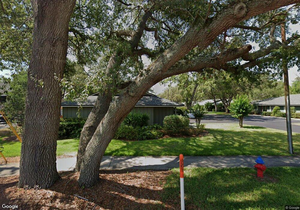
618 Mount Homer Rd Unit 1A Eustis, FL 32726
Estimated Value: $125,426 - $189,000
2
Beds
1
Bath
840
Sq Ft
$186/Sq Ft
Est. Value
About This Home
This home is located at 618 Mount Homer Rd Unit 1A, Eustis, FL 32726 and is currently estimated at $156,107, approximately $185 per square foot. 618 Mount Homer Rd Unit 1A is a home located in Lake County with nearby schools including Eustis Heights Elementary School, Eustis Middle School, and Eustis High School.
Ownership History
Date
Name
Owned For
Owner Type
Purchase Details
Closed on
Jan 3, 2007
Sold by
Harper William L and Harper Carolyn B
Bought by
Stone Priscilla G
Current Estimated Value
Home Financials for this Owner
Home Financials are based on the most recent Mortgage that was taken out on this home.
Original Mortgage
$10,000
Outstanding Balance
$5,878
Interest Rate
6.1%
Mortgage Type
Stand Alone Second
Estimated Equity
$150,229
Create a Home Valuation Report for This Property
The Home Valuation Report is an in-depth analysis detailing your home's value as well as a comparison with similar homes in the area
Home Values in the Area
Average Home Value in this Area
Purchase History
| Date | Buyer | Sale Price | Title Company |
|---|---|---|---|
| Stone Priscilla G | $92,000 | Lake Title Services Inc |
Source: Public Records
Mortgage History
| Date | Status | Borrower | Loan Amount |
|---|---|---|---|
| Open | Stone Priscilla G | $10,000 | |
| Open | Stone Priscilla G | $78,200 |
Source: Public Records
Tax History
| Year | Tax Paid | Tax Assessment Tax Assessment Total Assessment is a certain percentage of the fair market value that is determined by local assessors to be the total taxable value of land and additions on the property. | Land | Improvement |
|---|---|---|---|---|
| 2026 | $521 | $55,800 | -- | -- |
| 2025 | $507 | $54,290 | -- | -- |
| 2024 | $507 | $54,290 | -- | -- |
| 2023 | $507 | $51,180 | $0 | $0 |
| 2022 | $504 | $49,690 | $0 | $0 |
| 2021 | $472 | $48,248 | $0 | $0 |
| 2020 | $482 | $47,582 | $0 | $0 |
| 2019 | $466 | $46,513 | $0 | $0 |
| 2018 | $441 | $45,646 | $0 | $0 |
| 2017 | $423 | $44,708 | $0 | $0 |
| 2016 | $408 | $43,789 | $0 | $0 |
| 2015 | $412 | $43,485 | $0 | $0 |
| 2014 | $406 | $43,140 | $0 | $0 |
Source: Public Records
Map
Nearby Homes
- 610 Mount Homer Rd
- 2295 Red Pine Ct
- 2266 Red Pine Ct
- 2258 Red Pine Ct
- 2254 Red Pine Ct
- 2250 Red Pine Ct
- 646 Cedar Elm Ct
- 650 Cedar Elm Ct
- 630 Cedar Elm Ct
- 1901 Prevatt St
- 3020 Jessamine Dr
- 3016 Jessamine Dr
- 3012 Jessamine Dr
- 3008 Jessamine Dr
- 3004 Jessamine Dr
- 3000 Jessamine Dr
- 3451 Nettle Loop
- 3035 Jessamine Dr
- 3031 Jessamine Dr
- 3027 Jessamine Dr
- 620 Mount Homer Rd Unit 5A
- 612 Mount Homer Rd Unit 5C
- 626 Mount Homer Rd Unit 2B
- 614 Mount Homer Rd Unit 1B
- 616 Mount Homer Rd Unit 5B
- 616 Mount Homer Rd Unit 616
- 630 Mount Homer Rd Unit 2C
- 624 Mount Homer Rd Unit 4C
- 632 Mount Homer Rd Unit 4A
- 634 Mount Homer Rd Unit 3A
- 2720 Kurt St
- 700 Mount Homer Rd
- 611 Mount Homer Rd
- 611 Mount Homer Rd Unit 56
- 2703 & 2701 Kurt St
- 2703 Kurt St
- 2707 Oak Lynn St
- 2709 Oak Lynn St
- 644 W Seminole Ave
- 636 W Seminole Ave
Your Personal Tour Guide
Ask me questions while you tour the home.