Estimated Value: $296,000 - $323,000
About This Home
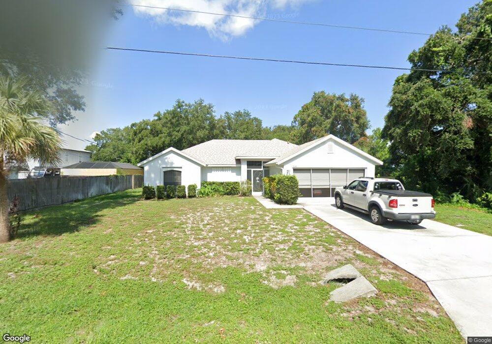
This home is located at 6181 Dees Rd, Cocoa, FL 32927 and is currently estimated at $311,058, approximately $200 per square foot. 6181 Dees Rd is a home located in Brevard County with nearby schools including Enterprise Elementary School, Space Coast Junior/Senior High School, and East Atlantic Prep of Brevard County.
Ownership History
We collect this data history from publicly available records. To have your information removed, we recommend requesting removal directly through your county’s website.
Purchase Details
Purchase Details
Purchase Details
Purchase Details
Purchase Details
Purchase Details
Home Values in the Area
Average Home Value in this Area
Purchase History
We collect this data history from publicly available records. To have your information removed, we recommend requesting removal directly through your county’s website.
| Date | Buyer | Sale Price | Title Company |
|---|---|---|---|
| $100 | None Listed On Document | ||
| -- | Attorney | ||
| $180,000 | Precise Title Inc | ||
| $18,500 | Precise Title Inc | ||
| $24,000 | Precise Title Inc | ||
| $14,400 | -- |
Tax History
We collect this data history from publicly available records. To have your information removed, we recommend requesting removal directly through your county’s website.
| Year | Tax Paid | Tax Assessment Tax Assessment Total Assessment is a certain percentage of the fair market value that is determined by local assessors to be the total taxable value of land and additions on the property. | Land | Improvement |
|---|---|---|---|---|
| 2025 | $1,314 | $99,850 | -- | -- |
| 2024 | $1,275 | $97,040 | -- | -- |
| 2023 | $1,275 | $94,220 | $0 | $0 |
| 2022 | $1,241 | $91,480 | $0 | $0 |
| 2021 | $1,235 | $88,820 | $0 | $0 |
| 2020 | $1,171 | $87,600 | $0 | $0 |
| 2019 | $1,106 | $85,640 | $0 | $0 |
| 2018 | $1,097 | $84,050 | $0 | $0 |
| 2017 | $1,087 | $82,330 | $0 | $0 |
| 2016 | $1,085 | $80,640 | $18,000 | $62,640 |
| 2015 | $1,093 | $80,080 | $15,000 | $65,080 |
| 2014 | $1,093 | $79,450 | $11,000 | $68,450 |
Map
- 6150 Dees Rd Unit 6
- 00000 Golfview Ave
- 6170 Unknown St
- 5940 Fisherman Ln
- 5920 Keystone Ave
- 6100 Adina Rd
- 5975 Aruin St
- 6289 Leonard Ave
- 23-35-21-JX-B-2 Aruin St
- 5870 Logan Ave
- 0 Aruin St Unit 1222557
- 6510 Aspen Ln
- 6165 Allmont St
- 6115 Allmont St
- 6300 Allmont St
- 6599 Bamboo Ave
- 5685 Beaverbrook St
- 5614 Jamaica Rd
- No Access W
- 5540 Carrick Rd
- 6178 Corning Rd
- 6184 Corning Rd
- 6172 Corning Rd
- 6165 Dees Rd
- 6166 Corning Rd
- 6181 Corning Rd
- 6175 Corning Rd
- 6175 Edison St
- 6187 Corning Rd
- 6169 Corning Rd
- 6185 Edison St
- 6160 Corning Rd
- 6121 Dees Rd
- 6193 Corning Rd
- 6153 Dees Rd
- 6165 Corning Rd
- 6158 Dees Rd
- 6157 Dees Rd
- 6140 Euclid Ave
- 6150 Euclid Ave
Ask me questions while you tour the home.