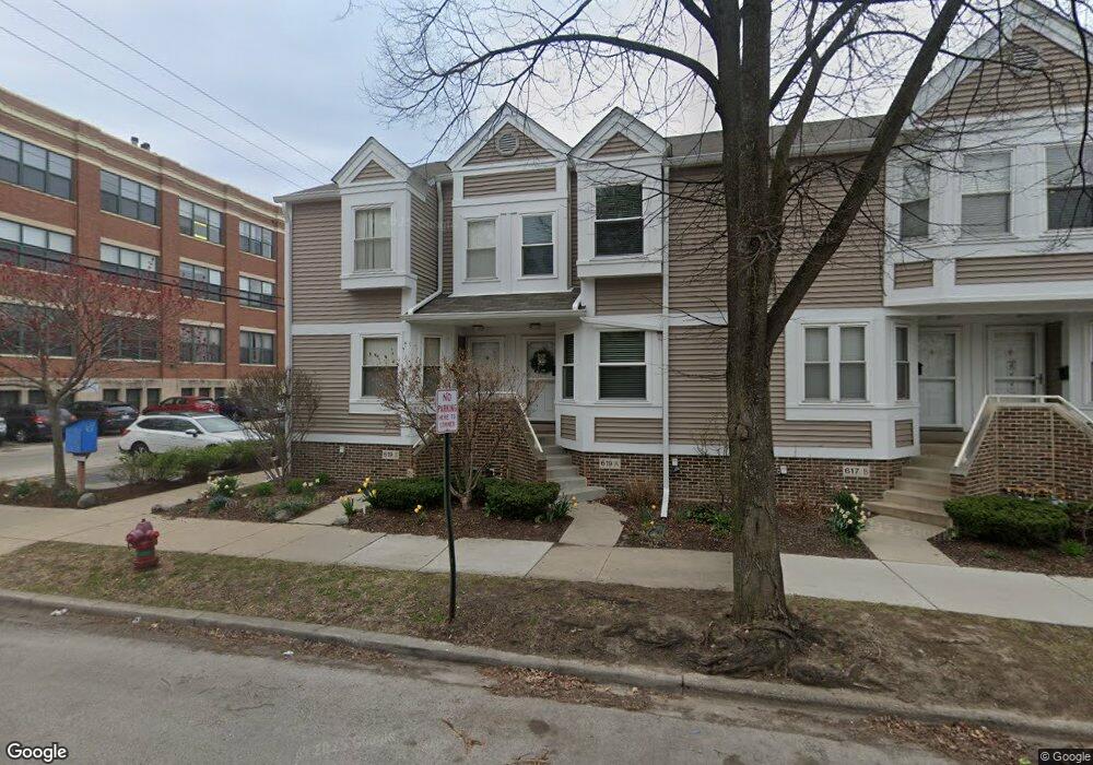
619 Custer Ave Evanston, IL 60202
Southeast Evanston NeighborhoodEstimated Value: $494,000 - $511,000
3
Beds
2
Baths
1,362
Sq Ft
$369/Sq Ft
Est. Value
About This Home
This home is located at 619 Custer Ave, Evanston, IL 60202 and is currently estimated at $502,742, approximately $369 per square foot. 619 Custer Ave is a home located in Cook County with nearby schools including Lincoln Elementary School, Washington Elementary School, and Nichols Middle School.
Ownership History
Date
Name
Owned For
Owner Type
Purchase Details
Closed on
Sep 7, 1995
Sold by
Barr Jeffery S and Barr Antoinette R
Bought by
Bell Michael E and Bell Sherilyn A
Current Estimated Value
Home Financials for this Owner
Home Financials are based on the most recent Mortgage that was taken out on this home.
Original Mortgage
$173,850
Interest Rate
7.76%
Create a Home Valuation Report for This Property
The Home Valuation Report is an in-depth analysis detailing your home's value as well as a comparison with similar homes in the area
Home Values in the Area
Average Home Value in this Area
Purchase History
| Date | Buyer | Sale Price | Title Company |
|---|---|---|---|
| Bell Michael E | $183,000 | -- |
Source: Public Records
Mortgage History
| Date | Status | Borrower | Loan Amount |
|---|---|---|---|
| Closed | Bell Michael E | $173,850 |
Source: Public Records
Tax History
| Year | Tax Paid | Tax Assessment Tax Assessment Total Assessment is a certain percentage of the fair market value that is determined by local assessors to be the total taxable value of land and additions on the property. | Land | Improvement |
|---|---|---|---|---|
| 2025 | $5,771 | $47,000 | $5,454 | $41,546 |
| 2024 | $5,771 | $40,976 | $7,499 | $33,477 |
| 2023 | $5,872 | $40,976 | $7,499 | $33,477 |
| 2022 | $5,872 | $40,976 | $7,499 | $33,477 |
| 2021 | $6,535 | $33,638 | $2,424 | $31,214 |
| 2020 | $6,005 | $33,638 | $2,424 | $31,214 |
| 2019 | $6,102 | $36,965 | $2,424 | $34,541 |
| 2018 | $7,912 | $31,937 | $2,045 | $29,892 |
| 2017 | $7,721 | $31,937 | $2,045 | $29,892 |
| 2016 | $7,546 | $31,937 | $2,045 | $29,892 |
| 2015 | $7,005 | $28,381 | $1,704 | $26,677 |
| 2014 | $6,952 | $28,381 | $1,704 | $26,677 |
| 2013 | $6,961 | $29,083 | $1,704 | $27,379 |
Source: Public Records
Map
Nearby Homes
- 601 Linden Place Unit 121
- 601 Linden Place Unit 311
- 723 South Blvd
- 650 Hinman Ave Unit 2B
- 523 Chicago Ave Unit D
- 602 Hinman Ave Unit 2S
- 726 Hinman Ave Unit 201
- 720 Oakton St Unit 3B
- 721 Hinman Ave Unit 2W
- 710 Washington St
- 624 Judson Ave Unit 3
- 811 Chicago Ave Unit 308
- 711 Austin St Unit 303
- 801 Hinman Ave Unit 1
- 417 Callan Ave
- 407 Custer Ave Unit 3S
- 848 Hinman Ave Unit 3
- 826 Judson Ave Unit 4
- 439 Ridge Ave Unit 2
- 515 Main St Unit 802
- 619 Custer Ave
- 619 Custer Ave Unit A
- 619A Custer Ave Unit A
- 619A Custer Ave
- 617A Custer Ave
- 617 Custer Ave
- 617 Custer Ave
- 617 Custer Ave Unit B
- 617 Custer Ave Unit A
- 617B Custer Ave
- 615A Custer Ave
- 615 Custer Ave
- 615 Custer Ave Unit A
- 623 Custer Ave
- 620 Callan Ave
- 613 Custer Ave
- 613 Custer Ave
- 613 Custer Ave Unit A
- 613 Custer Ave Unit B
- 601 Linden Place Unit 203
Your Personal Tour Guide
Ask me questions while you tour the home.