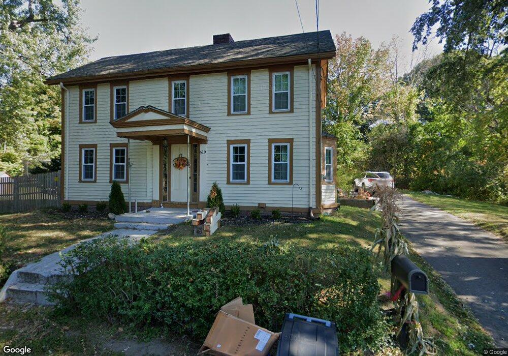
619 Main St Boxford, MA 01921
Estimated Value: $759,331 - $865,000
3
Beds
4
Baths
2,409
Sq Ft
$337/Sq Ft
Est. Value
About This Home
This home is located at 619 Main St, Boxford, MA 01921 and is currently estimated at $810,833, approximately $336 per square foot. 619 Main St is a home located in Essex County with nearby schools including Harry Lee Cole, Spofford Pond School, and Brooks School.
Ownership History
Date
Name
Owned For
Owner Type
Purchase Details
Closed on
Apr 15, 2016
Sold by
619 Main Street Pt and Dufour
Bought by
Desantis Salvatore and Desantis Lindsay
Current Estimated Value
Home Financials for this Owner
Home Financials are based on the most recent Mortgage that was taken out on this home.
Original Mortgage
$438,886
Interest Rate
3.64%
Mortgage Type
VA
Purchase Details
Closed on
Apr 24, 2015
Sold by
Morin Deborah
Bought by
619 Main Street Pt and Dufour
Purchase Details
Closed on
Jan 23, 2015
Sold by
Gavron-Ravenelle Deborah
Bought by
Morin Deborah
Purchase Details
Closed on
Dec 16, 2005
Sold by
Morin Deborah and Faxon Deborah R
Bought by
Gavron-Ravenelle Deborah
Home Financials for this Owner
Home Financials are based on the most recent Mortgage that was taken out on this home.
Original Mortgage
$44,000
Interest Rate
6.07%
Create a Home Valuation Report for This Property
The Home Valuation Report is an in-depth analysis detailing your home's value as well as a comparison with similar homes in the area
Home Values in the Area
Average Home Value in this Area
Purchase History
| Date | Buyer | Sale Price | Title Company |
|---|---|---|---|
| Desantis Salvatore | $470,000 | -- | |
| 619 Main Street Pt | $280,000 | -- | |
| Morin Deborah | -- | -- | |
| Gavron-Ravenelle Deborah | -- | -- |
Source: Public Records
Mortgage History
| Date | Status | Borrower | Loan Amount |
|---|---|---|---|
| Closed | Desantis Salvatore | $438,886 | |
| Previous Owner | Gavron-Ravenelle Deborah | $44,000 | |
| Previous Owner | Gavron-Ravenelle Deborah | $20,000 | |
| Previous Owner | Gavron-Ravenelle Deborah | $18,000 |
Source: Public Records
Tax History
| Year | Tax Paid | Tax Assessment Tax Assessment Total Assessment is a certain percentage of the fair market value that is determined by local assessors to be the total taxable value of land and additions on the property. | Land | Improvement |
|---|---|---|---|---|
| 2025 | $8,643 | $642,600 | $298,800 | $343,800 |
| 2024 | $8,386 | $642,600 | $298,800 | $343,800 |
| 2023 | $7,719 | $557,700 | $266,700 | $291,000 |
| 2022 | $7,508 | $493,300 | $222,300 | $271,000 |
| 2021 | $6,912 | $431,700 | $202,200 | $229,500 |
| 2020 | $6,782 | $419,400 | $202,200 | $217,200 |
| 2019 | $6,585 | $404,500 | $192,500 | $212,000 |
| 2018 | $6,138 | $378,900 | $192,500 | $186,400 |
| 2017 | $5,974 | $366,300 | $183,200 | $183,100 |
| 2016 | $5,308 | $322,500 | $183,200 | $139,300 |
| 2015 | -- | $311,600 | $183,200 | $128,400 |
Source: Public Records
Map
Nearby Homes
- 499 Main St
- 1401 Great Pond Rd Unit 3
- Lot B Willow Ave
- 108 Campion Rd
- 175 Carter Field Rd
- 65 Saile Way
- 35 Bonny Ln
- 44 Pine Plain Rd
- 427b Ipswich Rd
- 1785 Great Pond Rd
- 768 Salem St
- 116 Towne Hill Rd
- 0 S Cross Rd
- 98 Washington St
- 13 Towne Hill Rd
- 40 William Ave
- 204 Coventry Ln
- 15 Cedarcrest Ln
- 0 Great Pond Rd
- 499 Chadwick Rd
Your Personal Tour Guide
Ask me questions while you tour the home.