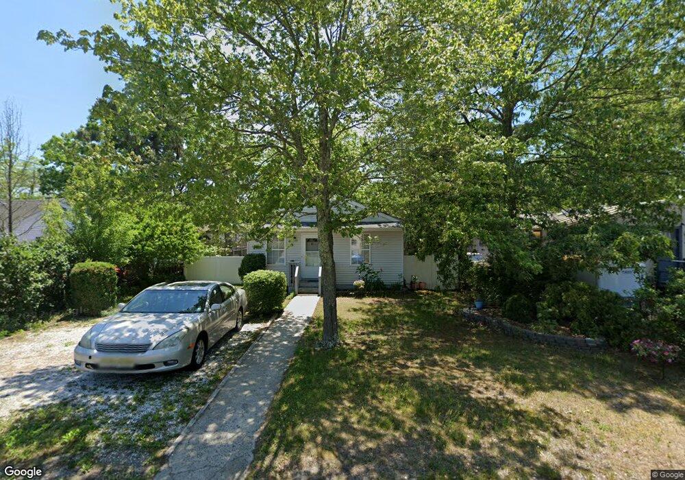
62 Atlantic Ave Waretown, NJ 08758
Estimated Value: $285,000 - $370,000
3
Beds
1
Bath
960
Sq Ft
$343/Sq Ft
Est. Value
About This Home
This home is located at 62 Atlantic Ave, Waretown, NJ 08758 and is currently estimated at $329,377, approximately $343 per square foot. 62 Atlantic Ave is a home located in Ocean County with nearby schools including Waretown Elementary School and Frederic A. Priff Elementary School.
Ownership History
Date
Name
Owned For
Owner Type
Purchase Details
Closed on
Feb 26, 2016
Sold by
James Blondene R
Bought by
Peart Blondene R
Current Estimated Value
Purchase Details
Closed on
Jul 11, 2003
Sold by
Secretary Of Veterans Affairs
Bought by
James Blondene R
Home Financials for this Owner
Home Financials are based on the most recent Mortgage that was taken out on this home.
Original Mortgage
$118,000
Interest Rate
5.34%
Purchase Details
Closed on
Feb 28, 1997
Sold by
Hall Richard
Bought by
Housley Wesley and Housley Ursula
Home Financials for this Owner
Home Financials are based on the most recent Mortgage that was taken out on this home.
Original Mortgage
$80,000
Interest Rate
7.77%
Mortgage Type
VA
Create a Home Valuation Report for This Property
The Home Valuation Report is an in-depth analysis detailing your home's value as well as a comparison with similar homes in the area
Home Values in the Area
Average Home Value in this Area
Purchase History
| Date | Buyer | Sale Price | Title Company |
|---|---|---|---|
| Peart Blondene R | -- | -- | |
| James Blondene R | $124,777 | -- | |
| -- | $124,800 | -- | |
| Housley Wesley | $78,000 | -- |
Source: Public Records
Mortgage History
| Date | Status | Borrower | Loan Amount |
|---|---|---|---|
| Previous Owner | -- | $118,000 | |
| Previous Owner | Housley Wesley | $80,000 |
Source: Public Records
Tax History
| Year | Tax Paid | Tax Assessment Tax Assessment Total Assessment is a certain percentage of the fair market value that is determined by local assessors to be the total taxable value of land and additions on the property. | Land | Improvement |
|---|---|---|---|---|
| 2025 | $3,891 | $246,600 | $100,000 | $146,600 |
| 2024 | $3,403 | $246,600 | $100,000 | $146,600 |
| 2023 | $3,183 | $146,500 | $72,500 | $74,000 |
| 2022 | $3,183 | $146,500 | $72,500 | $74,000 |
| 2021 | $2,896 | $146,500 | $72,500 | $74,000 |
| 2020 | $3,090 | $146,500 | $72,500 | $74,000 |
| 2019 | $3,030 | $146,500 | $72,500 | $74,000 |
| 2018 | $2,974 | $146,500 | $72,500 | $74,000 |
| 2017 | $2,873 | $146,500 | $72,500 | $74,000 |
| 2016 | $2,791 | $146,500 | $72,500 | $74,000 |
| 2015 | $2,718 | $146,500 | $72,500 | $74,000 |
| 2014 | $2,696 | $146,500 | $72,500 | $74,000 |
Source: Public Records
Map
Nearby Homes
- 51 Oregon Ave
- 70 Main St
- 82 Clearwater Dr
- 104 Clearwater Dr
- 105 Atlantic Ave Unit 4
- 33 Pennsylvania Ave
- 35 Pennsylvania Ave
- 17 Pennsylvania Ave
- 76 Sheridan St
- 109 Ocean Ave
- 356 Route 9
- 14 Hawkins Way
- 53 Bonita Rd
- 33 Forest Park Dr
- 16 Peg Leg Way
- 29 Forest Park Dr
- 27 Forest Park Dr
- 25 Forest Park Dr
- 14 Vessel Dr
- 16 Davey Jones Way
- 64 Atlantic Ave
- 60 Atlantic Ave
- 61 Clearwater Dr
- 65 Clearwater Dr
- 66 Atlantic Ave
- 67 Clearwater Dr
- 63 Atlantic Ave
- 58 Atlantic Ave
- 61 Atlantic Ave
- 59 Clearwater Dr
- 65 Atlantic Ave
- 67 Atlantic Ave
- 57 Clearwater Dr
- 59 Atlantic Ave
- 69 Clearwater Dr
- 69 Atlantic Ave
- 60 Baltic Ave
- 62 Baltic Ave
- 56 Atlantic Ave
- 64 Baltic Ave
Your Personal Tour Guide
Ask me questions while you tour the home.