62 Brewer Rd Kingston, GA 30145
Estimated Value: $305,000 - $456,000
Studio
--
Bath
2,104
Sq Ft
$181/Sq Ft
Est. Value
About This Home
This home is located at 62 Brewer Rd, Kingston, GA 30145 and is currently estimated at $380,087, approximately $180 per square foot. 62 Brewer Rd is a home with nearby schools including Model Middle School and Model High School.
Ownership History
Date
Name
Owned For
Owner Type
Purchase Details
Closed on
Oct 16, 1998
Sold by
Dempsey Neal Barrett and Dempsey Tressie
Bought by
Floyd County School District
Current Estimated Value
Purchase Details
Closed on
Nov 23, 1989
Sold by
Dempsey Neal Barrett
Bought by
Dempsey Neal Barrett and Dempsey Tressie
Purchase Details
Closed on
Aug 17, 1989
Sold by
Small Business Administratio
Bought by
Dempsey Neal Barrett
Purchase Details
Closed on
Jun 6, 1989
Sold by
Winn James Haygood and Winn Rosemary H
Bought by
Small Business Administratio
Purchase Details
Closed on
Apr 30, 1982
Bought by
P and R
Create a Home Valuation Report for This Property
The Home Valuation Report is an in-depth analysis detailing your home's value as well as a comparison with similar homes in the area
Home Values in the Area
Average Home Value in this Area
Purchase History
We collect this data history from publicly available records. To have your information removed, we recommend requesting removal directly through your county’s website.
| Date | Buyer | Sale Price | Title Company |
|---|---|---|---|
| Floyd County School District | $215,000 | -- | |
| Dempsey Neal Barrett | -- | -- | |
| Dempsey Neal Barrett | $45,500 | -- | |
| Small Business Administratio | $45,500 | -- | |
| P | -- | -- | |
| Winn James Haygood | -- | -- |
Source: Public Records
Tax History
| Year | Tax Paid | Tax Assessment Tax Assessment Total Assessment is a certain percentage of the fair market value that is determined by local assessors to be the total taxable value of land and additions on the property. | Land | Improvement |
|---|---|---|---|---|
| 2025 | -- | $138,088 | $90,300 | $47,788 |
| 2024 | -- | $117,092 | $72,240 | $44,852 |
| 2023 | $2,751 | $116,192 | $72,240 | $43,952 |
| 2022 | $2,751 | $92,733 | $57,120 | $35,613 |
| 2021 | $2,192 | $72,614 | $40,992 | $31,622 |
| 2020 | $2,005 | $66,638 | $36,288 | $30,350 |
| 2019 | $1,965 | $65,320 | $36,288 | $29,032 |
| 2018 | $1,763 | $58,585 | $31,584 | $27,001 |
| 2017 | $1,757 | $57,493 | $31,584 | $25,909 |
| 2016 | -- | $57,212 | $31,560 | $25,652 |
| 2015 | -- | $57,212 | $31,560 | $25,652 |
| 2014 | -- | $57,212 | $31,560 | $25,652 |
Source: Public Records
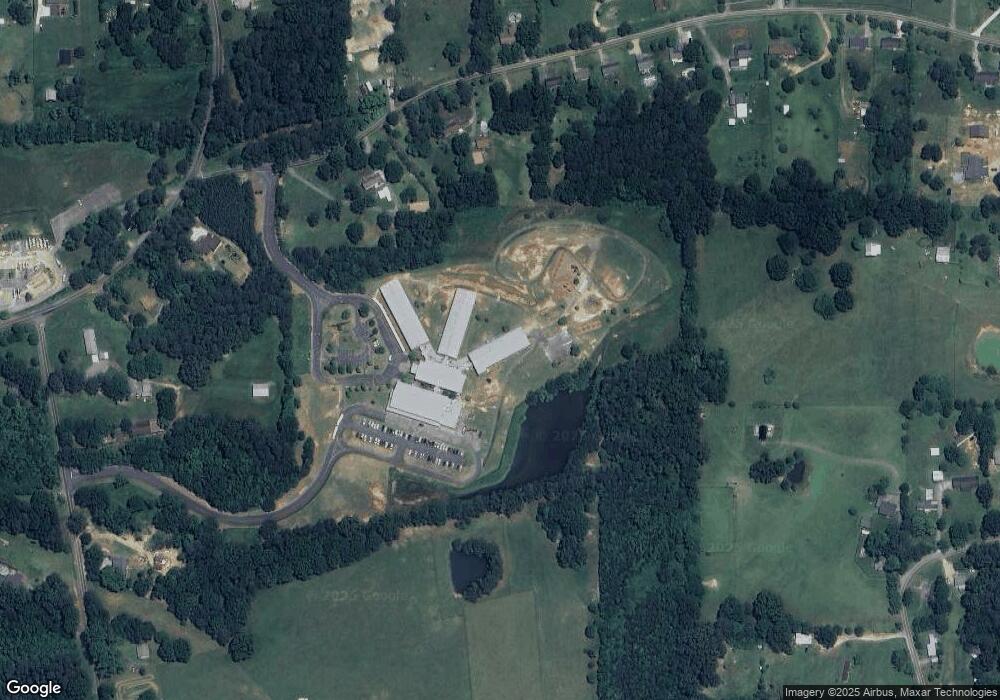
Map
Nearby Homes
- 127 Branson Rd SE
- 20 Meadows Dr SE
- 0 Brewer Rd Unit 10742339
- 0 Mountain Creek Dr SE Unit 10666779
- 34 Mountain Creek Dr SE
- 4 Trimble Way
- 11 Parkwood Dr NE
- 0 Canard Rd SE Unit 74
- 0 Fred Kelly Rd NE Unit 10695121
- 0 Fred Kelly Rd NE Unit 7722297
- 159 Ward Mountain Rd
- 406 Fred Kelley Rd NE
- 20 Eastdell Rd NE
- 39 Shoals Ferry Rd SE
- 14 Everwood Ct SE
- 7 Everwood Ct SE
- 9 Everwood Ct SE
- 0 New Mathis Rd Unit 10725845
- 0 New Mathis Rd
- 380 Ward Mountain Rd
- 50 Brewer Rd
- 48 Brewer Rd
- 196 Deland Rd
- 196 Deland Rd
- 110 Brewer Rd
- 120 Brewer Rd
- 1839 Morrison Camp Ground Rd NE
- 63 Brewer Rd
- 130 Brewer Rd
- 1849 Morrison C G Rd NE
- 140 Brewer Rd
- 1854 Morrison Campground Rd
- 1859 Morrison C G Rd NE
- 152 Brewer Rd
- 107 Brewer Rd
- 156 Deland Rd
- 184 Brewer Rd
- 164 Brewer Rd
- 1865 Morrison Camp Ground Rd NE
- 1865 Morrison C G Rd NE
Your Personal Tour Guide
Ask me questions while you tour the home.