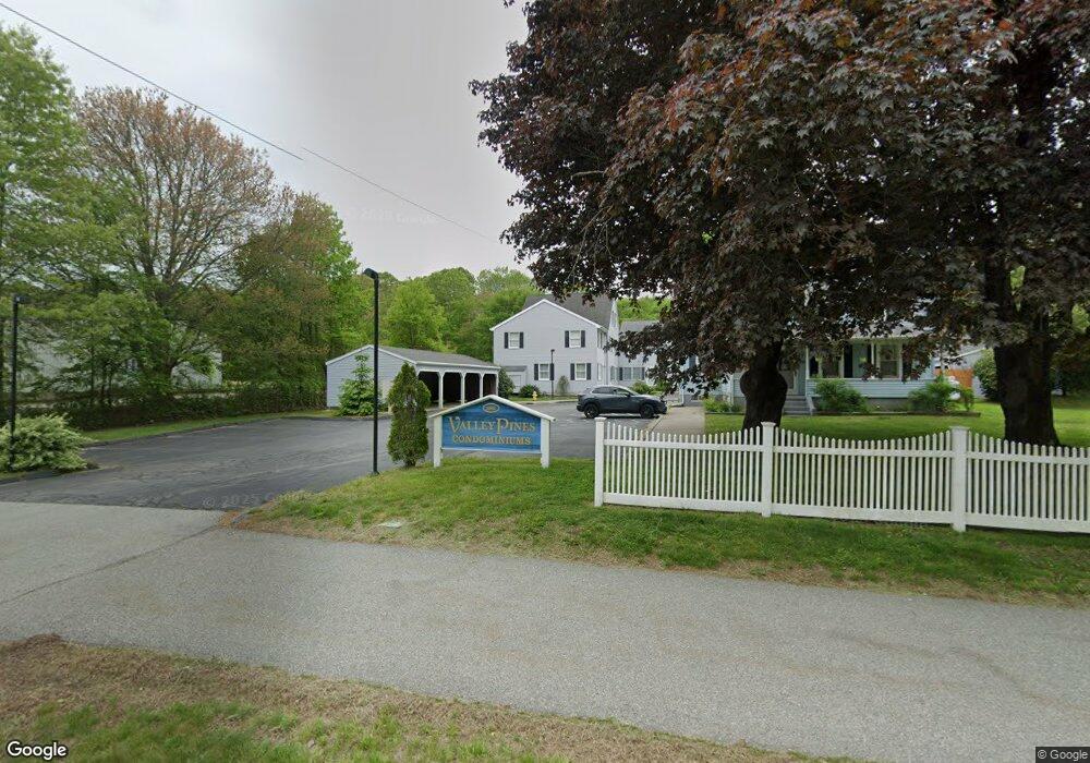
62 Thames Height Ln Groton, CT 06340
Estimated Value: $284,296 - $314,000
About This Home
This home is located at 62 Thames Height Ln, Groton, CT 06340 and is currently estimated at $301,574, approximately $271 per square foot. 62 Thames Height Ln is a home located in New London County with nearby schools including Pleasant Valley School, Groton Middle School, and Robert E. Fitch High School.
Ownership History
We collect this data history from publicly available records. To have your information removed, we recommend requesting removal directly through your county’s website.
Purchase Details
Home Financials for this Owner
Home Financials are based on the most recent Mortgage that was taken out on this home.Purchase Details
Home Financials for this Owner
Home Financials are based on the most recent Mortgage that was taken out on this home.Purchase Details
Home Financials for this Owner
Home Financials are based on the most recent Mortgage that was taken out on this home.Home Values in the Area
Average Home Value in this Area
Purchase History
We collect this data history from publicly available records. To have your information removed, we recommend requesting removal directly through your county’s website.
| Date | Buyer | Sale Price | Title Company |
|---|---|---|---|
| -- | -- | ||
| -- | -- | ||
| $187,500 | -- | ||
| $87,500 | -- |
Mortgage History
We collect this data history from publicly available records. To have your information removed, we recommend requesting removal directly through your county’s website.
| Date | Status | Borrower | Loan Amount |
|---|---|---|---|
| Open | $158,831 | ||
| Closed | $158,831 | ||
| Previous Owner | $167,500 | ||
| Previous Owner | $62,000 | ||
| Previous Owner | $77,500 |
Tax History
We collect this data history from publicly available records. To have your information removed, we recommend requesting removal directly through your county’s website.
| Year | Tax Paid | Tax Assessment Tax Assessment Total Assessment is a certain percentage of the fair market value that is determined by local assessors to be the total taxable value of land and additions on the property. | Land | Improvement |
|---|---|---|---|---|
| 2025 | $3,059 | $107,870 | $32,361 | $75,509 |
| 2024 | $2,889 | $107,870 | $32,361 | $75,509 |
| 2023 | $2,783 | $107,870 | $0 | $107,870 |
| 2022 | $2,715 | $107,870 | $0 | $107,870 |
| 2021 | $3,344 | $111,790 | $0 | $111,790 |
| 2020 | $3,351 | $111,790 | $0 | $111,790 |
| 2019 | $3,215 | $111,790 | $0 | $111,790 |
| 2018 | $3,203 | $111,790 | $0 | $111,790 |
| 2017 | $3,033 | $111,790 | $0 | $111,790 |
| 2016 | $2,766 | $108,360 | $0 | $108,360 |
Map
- 49 Thames Height Ln Unit 49
- 0 Connecticut 12
- 314 Virgo Dr
- 31 Pegasus Dr
- 435 Military Hwy Unit 449
- 167 Lestertown Rd
- 231 Gungywamp Rd
- 310 Lestertown Rd
- 76 Starr Hill Rd
- 0 Briar Hill Rd Unit 24148389
- 20 Grove Ave
- 5 Grove Ave
- 21 Grove Ave
- 76 Kings Hwy
- 1320 Route 12
- 0 Bonnie Cir
- 517-571 Gold Star Hwy
- 95 Monument St
- 108 Thames St
- 242 Crystal Ave
- 56 Thames Height Ln
- 56 Thames Height Ln Unit 56
- 58 Thames Height Ln
- 58 Thames Height Ln Unit 58
- 60 Thames Height Ln
- 60 Thames Height Ln Unit 60
- 52 Thames Height Ln
- 52 Thames Height Ln Unit 52
- 50 Thames Height Ln
- 50 Thames Height Ln Unit 50
- 48 Thames Height Ln
- 66 Thames Height Ln
- 64 Thames Height Ln
- 68 Thames Height Ln
- 68 Thames Height Ln Unit 68
- 62 Thames Height Ln Unit 62
- 44 Thames Height Ln
- 70 Thames Height Ln
- 46 Thames Height Ln
- 74 Thames Height Ln
Ask me questions while you tour the home.