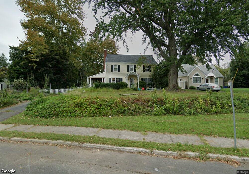
62 Upper Ferry Rd Ewing, NJ 08628
Ewingville NeighborhoodEstimated Value: $385,430 - $494,000
Studio
--
Bath
1,896
Sq Ft
$237/Sq Ft
Est. Value
About This Home
This home is located at 62 Upper Ferry Rd, Ewing, NJ 08628 and is currently estimated at $449,608, approximately $237 per square foot. 62 Upper Ferry Rd is a home located in Mercer County with nearby schools including Ewing High School, Trenton Stem-To-Civics Charter School, and Guidepost Montessori at Lawrenceville.
Ownership History
Date
Name
Owned For
Owner Type
Purchase Details
Closed on
Feb 22, 1994
Sold by
Kroeschell Bruce
Bought by
Nelson John
Current Estimated Value
Home Financials for this Owner
Home Financials are based on the most recent Mortgage that was taken out on this home.
Original Mortgage
$158,000
Interest Rate
7.27%
Purchase Details
Closed on
Feb 22, 1989
Sold by
Sista Charles and Sista Elizabeth S
Bought by
Kroeschell Brce and Susan Muerle
Purchase Details
Closed on
Jan 15, 1987
Sold by
Jackson Paul H
Bought by
Sista Charles R and Sista Elizabeth S
Create a Home Valuation Report for This Property
The Home Valuation Report is an in-depth analysis detailing your home's value as well as a comparison with similar homes in the area
Home Values in the Area
Average Home Value in this Area
Purchase History
| Date | Buyer | Sale Price | Title Company |
|---|---|---|---|
| Nelson John | $166,500 | -- | |
| Kroeschell Brce | $195,000 | -- | |
| Sista Charles R | -- | -- |
Source: Public Records
Mortgage History
| Date | Status | Borrower | Loan Amount |
|---|---|---|---|
| Previous Owner | Nelson John | $158,000 |
Source: Public Records
Tax History
| Year | Tax Paid | Tax Assessment Tax Assessment Total Assessment is a certain percentage of the fair market value that is determined by local assessors to be the total taxable value of land and additions on the property. | Land | Improvement |
|---|---|---|---|---|
| 2025 | $9,219 | $234,400 | $60,500 | $173,900 |
| 2024 | $8,666 | $234,400 | $60,500 | $173,900 |
| 2023 | $8,666 | $234,400 | $60,500 | $173,900 |
| 2022 | $8,431 | $234,400 | $60,500 | $173,900 |
| 2021 | $8,225 | $234,400 | $60,500 | $173,900 |
| 2020 | $8,108 | $234,400 | $60,500 | $173,900 |
| 2019 | $7,897 | $234,400 | $60,500 | $173,900 |
| 2018 | $7,294 | $138,100 | $51,400 | $86,700 |
| 2017 | $7,464 | $138,100 | $51,400 | $86,700 |
| 2016 | $7,363 | $138,100 | $51,400 | $86,700 |
| 2015 | $7,265 | $138,100 | $51,400 | $86,700 |
| 2014 | $7,246 | $138,100 | $51,400 | $86,700 |
Source: Public Records
Map
Nearby Homes
- 30 Upper Ferry Rd
- 27 Bayberry Rd
- 20 Corey Dr
- 13 Hickory Hill Dr
- 2148 Pennington Rd
- 2 Rockleigh Dr
- 235 Masterson Ct
- 222 Masterson Ct
- 231 Masterson Ct
- 146 Masterson Ct
- 19 van Saun Dr
- 53 Carlton Ave
- 632 Timberlake Dr
- 311 Timberlake Dr
- 194 Bull Run Rd
- 1247 Lower Ferry Rd
- 6 Sparrow Ct
- 532 Timberlake Dr
- 2 Sparrow Ct
- 34 Lopatcong Dr
- 60 Upper Ferry Rd
- 66 Upper Ferry Rd
- 56 Upper Ferry Rd
- 33 Fran Ave
- 70 Upper Ferry Rd
- 31 Fran Ave
- 72 Upper Ferry Rd
- 35 Fran Ave
- 61 Upper Ferry Rd Unit . 6
- 61 Upper Ferry Rd Unit . 4
- 61 Upper Ferry Rd Unit . 2
- 61 Upper Ferry Rd Unit . 5
- 52 Upper Ferry Rd
- 74 Upper Ferry Rd
- 53 Upper Ferry Rd
- 69 Upper Ferry Rd
- 29 Fran Ave
- 37 Fran Ave
- 75 Upper Ferry Rd
- 78 Upper Ferry Rd
Your Personal Tour Guide
Ask me questions while you tour the home.