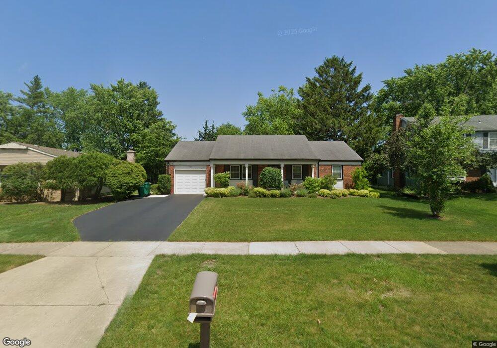
620 Checker Dr Buffalo Grove, IL 60089
Estimated Value: $355,000 - $465,000
3
Beds
2
Baths
1,576
Sq Ft
$261/Sq Ft
Est. Value
About This Home
This home is located at 620 Checker Dr, Buffalo Grove, IL 60089 and is currently estimated at $411,574, approximately $261 per square foot. 620 Checker Dr is a home located in Lake County with nearby schools including Ivy Hall Elementary School, Twin Groves Middle School, and Adlai E Stevenson High School.
Ownership History
Date
Name
Owned For
Owner Type
Purchase Details
Closed on
Jul 10, 2006
Sold by
Brody Marla
Bought by
Phillips Mark A
Current Estimated Value
Home Financials for this Owner
Home Financials are based on the most recent Mortgage that was taken out on this home.
Original Mortgage
$283,500
Outstanding Balance
$162,736
Interest Rate
6.73%
Mortgage Type
Purchase Money Mortgage
Estimated Equity
$248,838
Purchase Details
Closed on
Jul 18, 2002
Sold by
Ufheil William J
Bought by
Brody Marla
Home Financials for this Owner
Home Financials are based on the most recent Mortgage that was taken out on this home.
Original Mortgage
$199,800
Interest Rate
6.62%
Create a Home Valuation Report for This Property
The Home Valuation Report is an in-depth analysis detailing your home's value as well as a comparison with similar homes in the area
Home Values in the Area
Average Home Value in this Area
Purchase History
We collect this data history from publicly available records. To have your information removed, we recommend requesting removal directly through your county’s website.
| Date | Buyer | Sale Price | Title Company |
|---|---|---|---|
| Phillips Mark A | $315,000 | Republic Title Company | |
| Brody Marla | $222,000 | First American Title |
Source: Public Records
Mortgage History
We collect this data history from publicly available records. To have your information removed, we recommend requesting removal directly through your county’s website.
| Date | Status | Borrower | Loan Amount |
|---|---|---|---|
| Open | Phillips Mark A | $283,500 | |
| Previous Owner | Brody Marla | $199,800 |
Source: Public Records
Tax History
| Year | Tax Paid | Tax Assessment Tax Assessment Total Assessment is a certain percentage of the fair market value that is determined by local assessors to be the total taxable value of land and additions on the property. | Land | Improvement |
|---|---|---|---|---|
| 2025 | $11,233 | $132,030 | $38,160 | $93,870 |
| 2024 | $10,875 | $120,838 | $34,925 | $85,913 |
| 2023 | $9,831 | $114,019 | $32,954 | $81,065 |
| 2022 | $9,831 | $100,510 | $29,050 | $71,460 |
| 2021 | $9,456 | $99,426 | $28,737 | $70,689 |
| 2020 | $9,234 | $99,765 | $28,835 | $70,930 |
| 2019 | $9,108 | $99,398 | $28,729 | $70,669 |
| 2018 | $8,749 | $98,380 | $28,394 | $69,986 |
| 2017 | $8,581 | $96,083 | $27,731 | $68,352 |
| 2016 | $8,351 | $92,007 | $26,555 | $65,452 |
| 2015 | $8,119 | $86,044 | $24,834 | $61,210 |
| 2014 | $7,681 | $80,632 | $26,672 | $53,960 |
| 2012 | $7,614 | $80,793 | $26,725 | $54,068 |
Source: Public Records
Map
Nearby Homes
- 711 Woodhollow Ln
- 521 Castlewood Ln
- 1124 Brandywyn Ct
- 5 Knight Hill Ct
- 927 Hidden Lake Dr
- 451 Town Place Cir Unit 307W
- 451 Town Place Cir Unit 310W
- 1100 Lockwood Dr
- 1090 Pine Tree Cir N
- 525 Cherbourg Dr
- 1092 Pinetree Cir N Unit 6021L
- 351 Town Place Cir Unit 508
- 351 Town Place Cir Unit 402
- 1602 Brittany Ln
- 879 Burgess Cir Unit 8801
- 101 Windwood Ct
- 223 Winding Oak Ln
- 181 W Fabish Dr Unit DR17602
- 213 Winding Oak Ln
- 140 Manchester Dr Unit 408
- 630 Checker Dr
- 631 Silver Rock Ln
- 641 Silver Rock Ln
- 621 Silver Rock Ln
- 640 Checker Dr
- 600 Checker Dr
- 611 Silver Rock Ln
- 621 Checker Dr
- 611 Checker Dr
- 661 Silver Rock Ln
- 590 Checker Dr
- 650 Checker Dr
- 631 Checker Dr
- 601 Silver Rock Ln
- 601 Checker Dr
- 671 Silver Rock Ln
- 641 Checker Dr
- 660 Checker Dr
- 580 Checker Dr
- 670 Shady Grove Ln
Your Personal Tour Guide
Ask me questions while you tour the home.