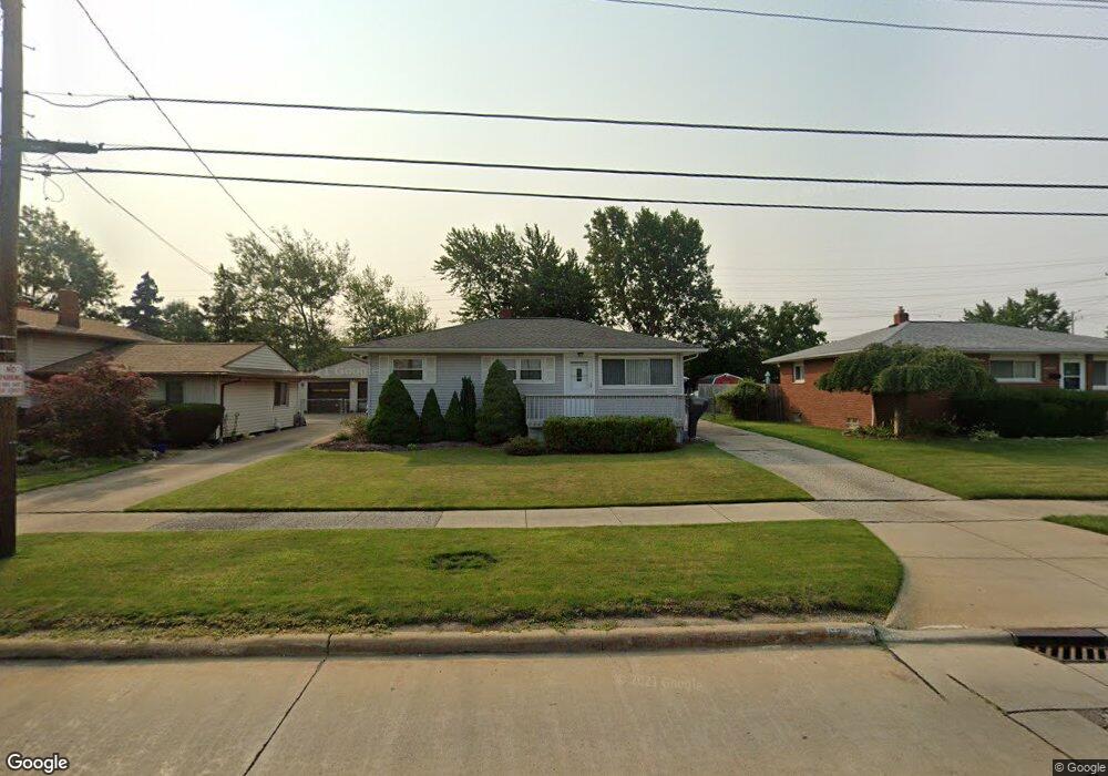
6205 Michael Dr Brookpark, OH 44142
Estimated Value: $201,000 - $219,000
About This Home
This home is located at 6205 Michael Dr, Brookpark, OH 44142 and is currently estimated at $211,225, approximately $221 per square foot. 6205 Michael Dr is a home located in Cuyahoga County with nearby schools including Berea-Midpark Middle School, Berea-Midpark High School, and Huber Heights Preparatory Academy Parma Academy.
Ownership History
We collect this data history from publicly available records. To have your information removed, we recommend requesting removal directly through your county’s website.
Purchase Details
Purchase Details
Purchase Details
Home Values in the Area
Average Home Value in this Area
Purchase History
We collect this data history from publicly available records. To have your information removed, we recommend requesting removal directly through your county’s website.
| Date | Buyer | Sale Price | Title Company |
|---|---|---|---|
| $46,000 | -- | ||
| -- | -- | ||
| -- | -- |
Tax History
We collect this data history from publicly available records. To have your information removed, we recommend requesting removal directly through your county’s website.
| Year | Tax Paid | Tax Assessment Tax Assessment Total Assessment is a certain percentage of the fair market value that is determined by local assessors to be the total taxable value of land and additions on the property. | Land | Improvement |
|---|---|---|---|---|
| 2025 | $2,465 | $59,325 | $12,880 | $46,445 |
| 2024 | $2,498 | $59,325 | $12,880 | $46,445 |
| 2023 | $2,235 | $45,850 | $10,745 | $35,105 |
| 2022 | $2,244 | $45,850 | $10,745 | $35,105 |
| 2021 | $2,231 | $45,850 | $10,750 | $35,110 |
| 2020 | $1,889 | $36,400 | $8,540 | $27,860 |
| 2019 | $1,832 | $104,000 | $24,400 | $79,600 |
| 2018 | $1,751 | $36,400 | $8,540 | $27,860 |
| 2017 | $1,816 | $34,170 | $7,600 | $26,570 |
| 2016 | $1,801 | $34,170 | $7,600 | $26,570 |
| 2015 | $1,691 | $34,170 | $7,600 | $26,570 |
| 2014 | $1,691 | $34,170 | $7,600 | $26,570 |
Map
- 14121 Donald Dr
- 13963 Havendale Dr
- 14291 Gallatin Blvd
- 6130 Smith Rd
- 15424 Holland Rd
- 13610 Starlite Dr
- 15500 Richard Dr
- 13901 Franklyn Blvd
- 6379 Edgehurst Dr
- 15541 Susan Dr
- 5882 Middlebrook Blvd
- 6444 Schaaf Dr
- 13495 Donald Dr
- 13548 Holland Rd
- 15624 Hocking Blvd
- 15460 Rademaker Dr
- 6447 Sandfield Dr
- 6377 Ledgebrook Dr
- 6127 W 130th St
- 5818 Smith Rd
- 6185 Michael Dr
- 6195 Michael Dr
- 6175 Michael Dr
- 6165 Michael Dr
- 6215 Michael Dr
- 6161 Michael Dr
- 6190 Michael Dr
- 6180 Michael Dr
- 6200 Michael Dr
- 6225 Michael Dr
- 6155 Michael Dr
- 6170 Michael Dr
- 14611 Larkfield Dr
- 6145 Michael Dr
- 6235 Michael Dr
- 14638 Larkfield Dr
- 6150 Michael Dr
- 14635 Larkfield Dr
- 6086 Middlebrook Blvd
- 6090 Middlebrook Blvd
Ask me questions while you tour the home.