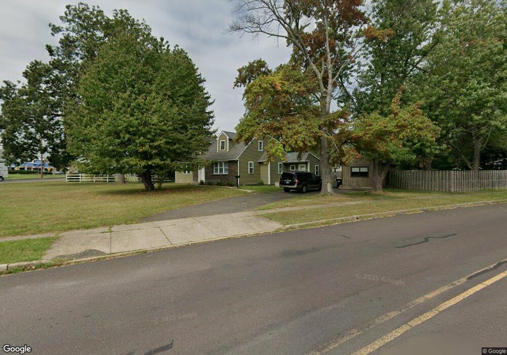
621 E Main St Lansdale, PA 19446
Estimated Value: $399,606 - $445,000
1
Bed
1
Bath
1,631
Sq Ft
$259/Sq Ft
Est. Value
About This Home
This home is located at 621 E Main St, Lansdale, PA 19446 and is currently estimated at $422,902, approximately $259 per square foot. 621 E Main St is a home located in Montgomery County with nearby schools including Knapp Elementary School, Penndale Middle School, and North Penn Senior High School.
Ownership History
Date
Name
Owned For
Owner Type
Purchase Details
Closed on
Oct 15, 2009
Sold by
Whiting Brent C
Bought by
Whiting Brent C and Whiting Shannon R
Current Estimated Value
Home Financials for this Owner
Home Financials are based on the most recent Mortgage that was taken out on this home.
Original Mortgage
$203,245
Outstanding Balance
$132,580
Interest Rate
5.06%
Estimated Equity
$290,322
Purchase Details
Closed on
Aug 30, 1996
Sold by
Boram Lynn C and Roebuck Patricia J
Bought by
Forte Danilo and Forte Heather F
Create a Home Valuation Report for This Property
The Home Valuation Report is an in-depth analysis detailing your home's value as well as a comparison with similar homes in the area
Home Values in the Area
Average Home Value in this Area
Purchase History
| Date | Buyer | Sale Price | Title Company |
|---|---|---|---|
| Whiting Brent C | -- | None Available | |
| Forte Danilo | $86,000 | -- |
Source: Public Records
Mortgage History
| Date | Status | Borrower | Loan Amount |
|---|---|---|---|
| Open | Whiting Brent C | $203,245 |
Source: Public Records
Tax History
| Year | Tax Paid | Tax Assessment Tax Assessment Total Assessment is a certain percentage of the fair market value that is determined by local assessors to be the total taxable value of land and additions on the property. | Land | Improvement |
|---|---|---|---|---|
| 2025 | $5,203 | $123,710 | -- | -- |
| 2024 | $5,203 | $123,710 | -- | -- |
| 2023 | $4,867 | $123,710 | $0 | $0 |
| 2022 | $4,713 | $123,710 | $0 | $0 |
| 2021 | $4,521 | $123,710 | $0 | $0 |
| 2020 | $4,385 | $123,710 | $0 | $0 |
| 2019 | $4,312 | $123,710 | $0 | $0 |
Source: Public Records
Map
Nearby Homes
- 310 Greenwood Rd
- 220 Pennbrook Ave
- 237 Church Rd
- 1309 Lakeview Dr
- 431 Cedar St
- 1448 Wheaton Ln
- 415 Williamson Ct
- 2 N Line St
- 235 E 2nd St
- 174 E Main St
- 380 E Hancock St Unit 100A
- 380 E Hancock St Unit 104A
- 380 E Hancock St Unit 103A
- 380 E Hancock St Unit 101A
- 380 E Hancock St Unit 103B
- 380 E Hancock St Unit 102B
- 380 E Hancock St Unit 101B
- 380 E Hancock St Unit 100B
- 380 E Hancock St Unit 102A
- 710 Willow St Unit B
- 619 E Main St
- 617 E Main St
- 201 Greenwood Rd
- 701 E Main St
- 808 Highland Rd
- 615 E Main St
- 203 Greenwood Rd
- 806 Highland Rd
- 205 Greenwood Rd
- 613 E Main St
- 804 Highland Rd
- 207 Greenwood Rd
- 611 E Main St
- 802 Highland Rd
- 209 Greenwood Rd
- 300 Greenwood Rd
- 706 Highland Rd
- 609 E Main St
- 301 Greenwood Rd
- 704 Highland Rd
Your Personal Tour Guide
Ask me questions while you tour the home.